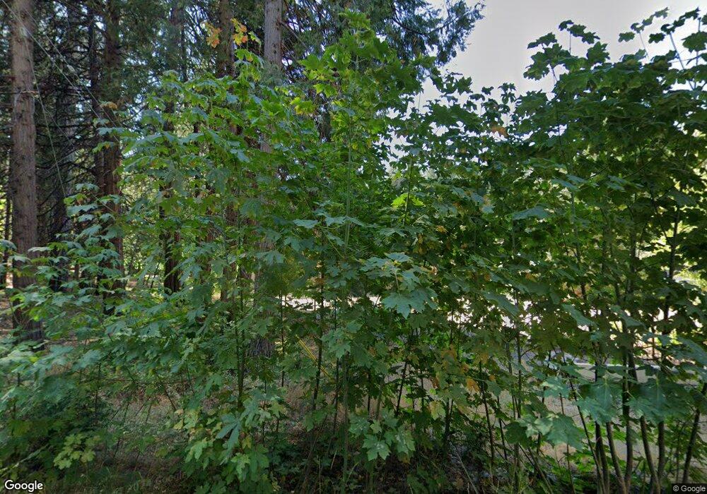
1016 Cypress Point Dr Arnold, CA 95223
Estimated Value: $687,000 - $868,000
2
Beds
4
Baths
2,924
Sq Ft
$272/Sq Ft
Est. Value
About This Home
This home is located at 1016 Cypress Point Dr, Arnold, CA 95223 and is currently estimated at $796,045, approximately $272 per square foot. 1016 Cypress Point Dr is a home with nearby schools including Bret Harte Union High School.
Ownership History
Date
Name
Owned For
Owner Type
Purchase Details
Closed on
Aug 29, 2025
Sold by
Clay James Trent and Rossi Teresa Lynn
Bought by
Rossi-Clay Trust and Rossi
Current Estimated Value
Purchase Details
Closed on
Jun 3, 2005
Sold by
Clay James Trent
Bought by
Clay James Trent and Rossi Teresa Lynn
Purchase Details
Closed on
Dec 6, 2004
Sold by
Still Timothy I and Still Micheelle L
Bought by
Clay James Trent
Home Financials for this Owner
Home Financials are based on the most recent Mortgage that was taken out on this home.
Original Mortgage
$436,000
Interest Rate
5.64%
Mortgage Type
Purchase Money Mortgage
Create a Home Valuation Report for This Property
The Home Valuation Report is an in-depth analysis detailing your home's value as well as a comparison with similar homes in the area
Home Values in the Area
Average Home Value in this Area
Purchase History
| Date | Buyer | Sale Price | Title Company |
|---|---|---|---|
| Rossi-Clay Trust | -- | None Listed On Document | |
| Clay James Trent | -- | -- | |
| Clay James Trent | $545,000 | First American Title Company |
Source: Public Records
Mortgage History
| Date | Status | Borrower | Loan Amount |
|---|---|---|---|
| Previous Owner | Clay James Trent | $436,000 |
Source: Public Records
Tax History Compared to Growth
Tax History
| Year | Tax Paid | Tax Assessment Tax Assessment Total Assessment is a certain percentage of the fair market value that is determined by local assessors to be the total taxable value of land and additions on the property. | Land | Improvement |
|---|---|---|---|---|
| 2025 | $9,338 | $827,293 | $111,502 | $715,791 |
| 2023 | $9,156 | $795,170 | $107,173 | $687,997 |
| 2022 | $8,852 | $779,579 | $105,072 | $674,507 |
| 2021 | $7,814 | $673,000 | $70,000 | $603,000 |
| 2020 | $7,155 | $614,000 | $70,000 | $544,000 |
| 2019 | $7,203 | $614,000 | $70,000 | $544,000 |
| 2018 | $7,022 | $614,000 | $70,000 | $544,000 |
| 2017 | $6,335 | $556,000 | $70,000 | $486,000 |
| 2016 | $5,948 | $512,000 | $70,000 | $442,000 |
| 2015 | -- | $512,000 | $70,000 | $442,000 |
| 2014 | -- | $497,000 | $70,000 | $427,000 |
Source: Public Records
Map
Nearby Homes
- 1138 Cypress Point Dr
- 677 Saint Andrews Dr
- 646 Dean Way
- 2105 Castlewood Ln
- 1427 Meadow Dr
- 412 Augusta Dr
- 1996 Seminole Way
- 2245 Castlewood Ln
- 1955 Seminole Way
- 2119 Silverado Way
- 2110 Silverado Way
- 1262 Pebble Beach Way
- 1598 Wawona Way
- 284 Blue Lake Springs Dr
- 923 Bear Run Way
- 167 Linda Dr
- 2346 Middle Dr
- 2036 Rainy Dr
- 1800 Medina Dr
- 1633 Anna Lee Way
- 1012 Cypress Point Dr
- 1035 Cypress Point Dr
- 1019 Cypress Point Dr
- 1104 Brae Burn Dr
- 1011 Cypress Point Dr
- 1071 Bear Run
- 1071 Brae Burn Dr
- 1118 Brae Burn Dr
- 1099 Brae Burn Dr
- 1075 Cypress Point Dr
- 1104 Cypress Point Dr
- 1134 Brae Burn Dr
- 1121 E Brae Burn Dr
- 1121 E Brae Burn Dr Unit B
- 921 Cypress Point #2 Dr
- 921 Cypress Point Dr
- 921 Cypress Point #2 Dr Unit 2
- 921 Cypress Point Dr Unit 2
- 921 Cypress Point Dr
- 1091 Cypress Point Dr
