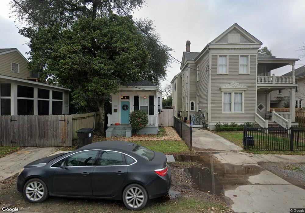
1016 Dufossat St New Orleans, LA 70115
Uptown NeighborhoodEstimated Value: $468,000 - $609,000
2
Beds
2
Baths
1,348
Sq Ft
$381/Sq Ft
Est. Value
About This Home
This home is located at 1016 Dufossat St, New Orleans, LA 70115 and is currently estimated at $513,525, approximately $380 per square foot. 1016 Dufossat St is a home located in Orleans Parish with nearby schools including Benjamin Franklin Elementary, Warren Easton Senior High School, and St. George's Episcopal School.
Ownership History
Date
Name
Owned For
Owner Type
Purchase Details
Closed on
Jul 7, 2004
Sold by
Mitchell Mary
Bought by
Brady Patrick
Current Estimated Value
Home Financials for this Owner
Home Financials are based on the most recent Mortgage that was taken out on this home.
Original Mortgage
$250,750
Outstanding Balance
$126,008
Interest Rate
6.31%
Estimated Equity
$387,517
Create a Home Valuation Report for This Property
The Home Valuation Report is an in-depth analysis detailing your home's value as well as a comparison with similar homes in the area
Home Values in the Area
Average Home Value in this Area
Purchase History
| Date | Buyer | Sale Price | Title Company |
|---|---|---|---|
| Brady Patrick | $295,000 | -- |
Source: Public Records
Mortgage History
| Date | Status | Borrower | Loan Amount |
|---|---|---|---|
| Open | Brady Patrick | $250,750 |
Source: Public Records
Tax History Compared to Growth
Tax History
| Year | Tax Paid | Tax Assessment Tax Assessment Total Assessment is a certain percentage of the fair market value that is determined by local assessors to be the total taxable value of land and additions on the property. | Land | Improvement |
|---|---|---|---|---|
| 2025 | $4,388 | $40,090 | $13,500 | $26,590 |
| 2024 | $4,453 | $40,090 | $13,500 | $26,590 |
| 2023 | $3,909 | $33,980 | $9,000 | $24,980 |
| 2022 | $3,909 | $28,750 | $9,000 | $19,750 |
| 2021 | $3,909 | $33,980 | $9,000 | $24,980 |
| 2020 | $3,248 | $29,170 | $9,000 | $20,170 |
| 2019 | $3,371 | $29,170 | $9,000 | $20,170 |
| 2018 | $3,436 | $29,170 | $9,000 | $20,170 |
| 2017 | $3,267 | $29,170 | $9,000 | $20,170 |
| 2016 | $2,958 | $26,470 | $9,000 | $17,470 |
| 2015 | $2,899 | $26,470 | $9,000 | $17,470 |
| 2014 | -- | $26,470 | $9,000 | $17,470 |
| 2013 | -- | $26,470 | $9,000 | $17,470 |
Source: Public Records
Map
Nearby Homes
- 5219 Magazine St Unit A
- 5206 Magazine St
- 5226 Magazine St
- 5200 02 Magazine St
- 5224 Magazine St Unit 5224
- 5000 Magazine St
- 919 Robert St
- 5023 Constance St
- 5128 30 Constance St
- 1124 Upperline St
- 5326 Prytania St
- 4930 32 Constance St
- 4851 Magazine St
- 4919 Perrier St
- 5236 Pitt St
- 5112 14 Pitt St
- 1025 Lyons St
- 5429 Camp St
- 1022 Dufossat St
- 5211 Camp St
- 5217 Camp St
- 5207 Camp St
- 5215 Camp St
- 1030 Dufossat St
- 5221 Camp St
- 5201 Camp St
- 5219 Camp St
- 5223 Camp St
- 1019 Bellecastle St
- 1011 Bellecastle St Unit Upper
- 5227 Camp St
- 5208 10 Chestnut St
- 5129 Camp St
- 1013.5 Bellecastle St
- 5214 Chestnut St
- 1021 Bellecastle St
- 1013 Bellecastle St
- 1013 Bellecastle St Unit Lower