1016 High Dunes Quay Unit 201 Hampton, VA 23664
Buckroe Beach NeighborhoodEstimated Value: $284,807 - $311,000
2
Beds
2
Baths
1,387
Sq Ft
$214/Sq Ft
Est. Value
About This Home
This home is located at 1016 High Dunes Quay Unit 201, Hampton, VA 23664 and is currently estimated at $297,202, approximately $214 per square foot. 1016 High Dunes Quay Unit 201 is a home located in Hampton City with nearby schools including Francis Asbury Elementary School, Benjamin Syms Middle School, and Phoebus High School.
Ownership History
Date
Name
Owned For
Owner Type
Purchase Details
Closed on
Jan 11, 2019
Sold by
Langrell John F and Langrell Alicia R
Bought by
Blaney Kenneth E
Current Estimated Value
Home Financials for this Owner
Home Financials are based on the most recent Mortgage that was taken out on this home.
Original Mortgage
$133,680
Outstanding Balance
$101,870
Interest Rate
4.6%
Mortgage Type
New Conventional
Estimated Equity
$195,332
Purchase Details
Closed on
May 17, 2000
Sold by
Salt Cay Assoc L L C
Bought by
Langrell John
Home Financials for this Owner
Home Financials are based on the most recent Mortgage that was taken out on this home.
Original Mortgage
$145,350
Interest Rate
8.24%
Create a Home Valuation Report for This Property
The Home Valuation Report is an in-depth analysis detailing your home's value as well as a comparison with similar homes in the area
Home Values in the Area
Average Home Value in this Area
Purchase History
| Date | Buyer | Sale Price | Title Company |
|---|---|---|---|
| Blaney Kenneth E | $167,100 | Va Home Title & Settlements | |
| Langrell John | $142,500 | -- |
Source: Public Records
Mortgage History
| Date | Status | Borrower | Loan Amount |
|---|---|---|---|
| Open | Blaney Kenneth E | $133,680 | |
| Previous Owner | Langrell John | $145,350 |
Source: Public Records
Tax History Compared to Growth
Tax History
| Year | Tax Paid | Tax Assessment Tax Assessment Total Assessment is a certain percentage of the fair market value that is determined by local assessors to be the total taxable value of land and additions on the property. | Land | Improvement |
|---|---|---|---|---|
| 2025 | $3,303 | $276,600 | $64,500 | $212,100 |
| 2024 | $3,157 | $274,500 | $64,500 | $210,000 |
| 2023 | $2,936 | $253,100 | $64,500 | $188,600 |
| 2022 | $2,675 | $226,700 | $50,000 | $176,700 |
| 2021 | $2,765 | $212,500 | $50,000 | $162,500 |
| 2020 | $2,086 | $168,200 | $50,000 | $118,200 |
| 2019 | $2,070 | $166,900 | $50,000 | $116,900 |
| 2018 | $2,117 | $167,100 | $50,000 | $117,100 |
| 2017 | $2,166 | $0 | $0 | $0 |
| 2016 | $2,166 | $167,100 | $0 | $0 |
| 2015 | $2,166 | $0 | $0 | $0 |
| 2014 | $2,264 | $173,300 | $50,000 | $123,300 |
Source: Public Records
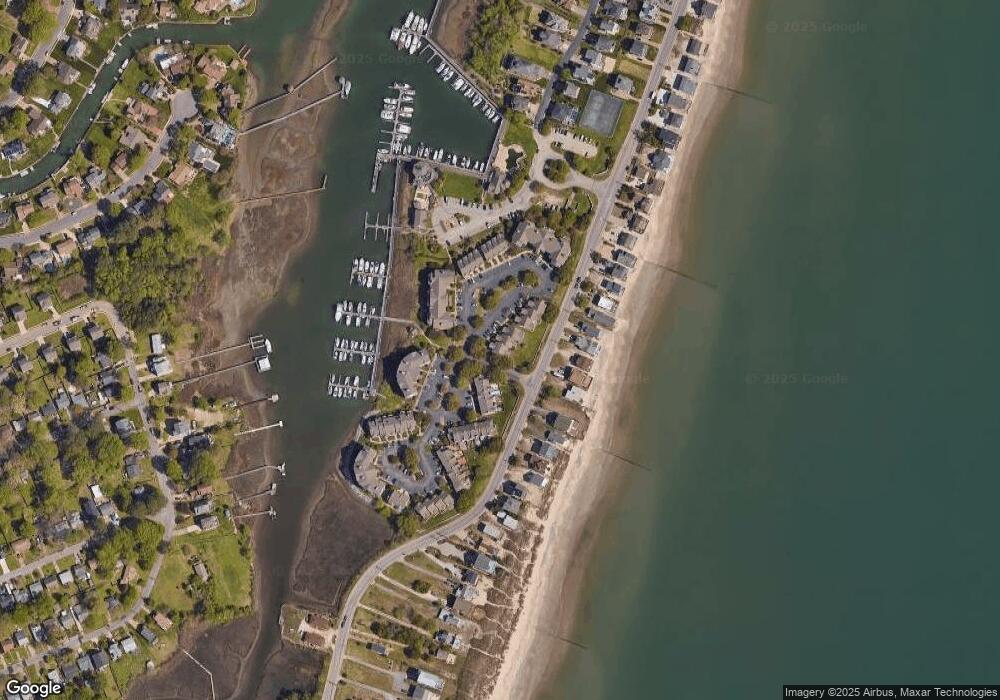
Map
Nearby Homes
- 1030 Porte Harbour Arch
- 1003 High Dunes Quay Unit 302
- 1003 High Dunes Quay Unit 101
- 1003 High Dunes Quay Unit 105
- 1031 High Dunes Quay Unit 103
- 809 N 1st St
- 231 Benthall Rd
- 309 Benthall Rd
- 34 Channel Ln
- 304 Benthall Rd
- 56 Chowning Dr
- 419 Rogers Ave
- 22 Channel Ln
- 424 Hunlac Ave
- 7 Channel Ln
- 205 Benthall Rd
- 28 Sarfan Dr
- 307 N First St
- 300 Richmond Dr
- 1741 Lafayette Dr
- 1016 High Dunes Quay Unit 101
- 1028 High Dunes Quay
- 1018 High Dunes Quay Unit 101
- 1018 High Dunes Quay Unit 201
- 1020 High Dunes Quay Unit 101
- 1020 High Dunes Quay Unit 201
- 1022 High Dunes Quay Unit 201
- 1022 High Dunes Quay Unit 101
- 1003 Porte Harbour Arch
- 1026 Porte Harbour Arch
- 1015 Porte Harbour Arch
- 803 N First St
- 1005 Porte Harbour Arch
- 1024 High Dunes Quay Unit 201
- 1024 High Dunes Quay Unit 101
- 1024 High Dunes Quay
- 1007 Porte Harbour Arch
- 1026 High Dunes Quay
- 1026 High Dunes Quay Unit 101
- 1009 Porte Harbour Arch