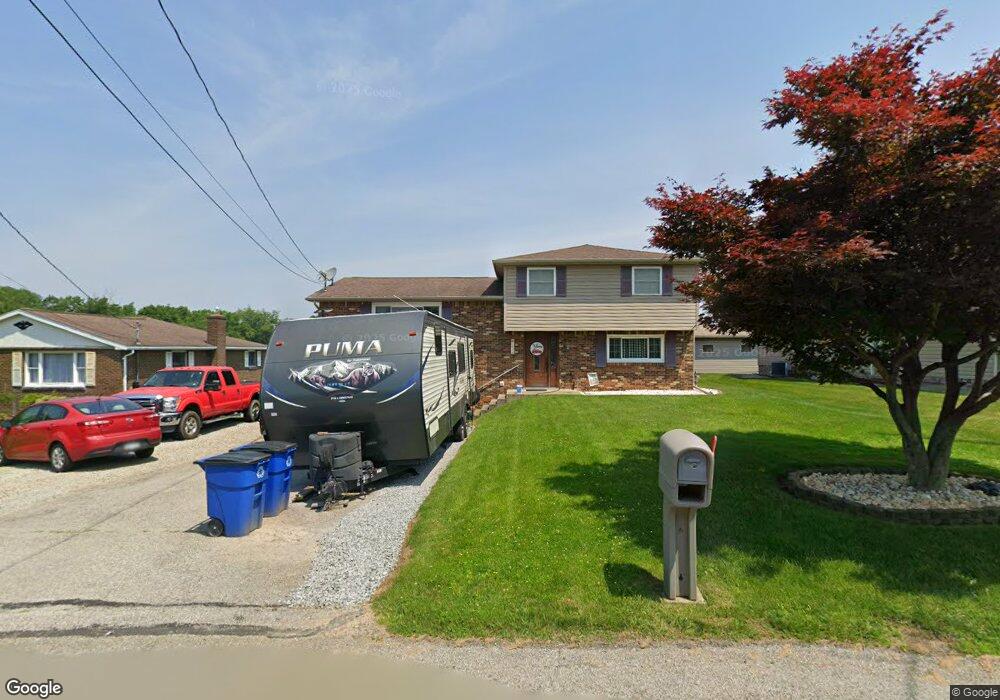
1016 James St Latrobe, PA 15650
Estimated Value: $131,240 - $269,000
3
Beds
3
Baths
1,161
Sq Ft
$184/Sq Ft
Est. Value
About This Home
This home is located at 1016 James St, Latrobe, PA 15650 and is currently estimated at $214,060, approximately $184 per square foot. 1016 James St is a home located in Westmoreland County with nearby schools including Grandview Elementary, Derry Area Middle School, and Derry Area High School.
Ownership History
Date
Name
Owned For
Owner Type
Purchase Details
Closed on
Aug 31, 2010
Sold by
Ohanlon Matthew P and Ohanlon Bobbi Jo
Bought by
Rhoades Eric J and Rhoades Lisa L
Current Estimated Value
Home Financials for this Owner
Home Financials are based on the most recent Mortgage that was taken out on this home.
Original Mortgage
$173,880
Outstanding Balance
$115,458
Interest Rate
4.55%
Mortgage Type
New Conventional
Estimated Equity
$98,602
Purchase Details
Closed on
May 9, 2002
Sold by
The Westmoreland County Area Agency On A
Bought by
Ohanlon Matthew P and Ohanlon Bobbi Jo
Home Financials for this Owner
Home Financials are based on the most recent Mortgage that was taken out on this home.
Original Mortgage
$90,250
Interest Rate
7.18%
Create a Home Valuation Report for This Property
The Home Valuation Report is an in-depth analysis detailing your home's value as well as a comparison with similar homes in the area
Home Values in the Area
Average Home Value in this Area
Purchase History
| Date | Buyer | Sale Price | Title Company |
|---|---|---|---|
| Rhoades Eric J | $166,000 | None Available | |
| Ohanlon Matthew P | $95,000 | -- |
Source: Public Records
Mortgage History
| Date | Status | Borrower | Loan Amount |
|---|---|---|---|
| Open | Rhoades Eric J | $173,880 | |
| Previous Owner | Ohanlon Matthew P | $90,250 |
Source: Public Records
Tax History Compared to Growth
Tax History
| Year | Tax Paid | Tax Assessment Tax Assessment Total Assessment is a certain percentage of the fair market value that is determined by local assessors to be the total taxable value of land and additions on the property. | Land | Improvement |
|---|---|---|---|---|
| 2025 | $3,339 | $26,870 | $1,710 | $25,160 |
| 2024 | $3,339 | $26,870 | $1,710 | $25,160 |
| 2023 | $3,152 | $26,870 | $1,710 | $25,160 |
| 2022 | $3,125 | $26,870 | $1,710 | $25,160 |
| 2021 | $3,125 | $26,870 | $1,710 | $25,160 |
| 2020 | $3,071 | $26,870 | $1,710 | $25,160 |
| 2019 | $3,004 | $26,870 | $1,710 | $25,160 |
| 2018 | $2,869 | $26,870 | $1,710 | $25,160 |
| 2017 | $2,794 | $26,870 | $1,710 | $25,160 |
| 2016 | $2,673 | $26,870 | $1,710 | $25,160 |
| 2015 | $2,673 | $26,870 | $1,710 | $25,160 |
| 2014 | $2,673 | $26,870 | $1,710 | $25,160 |
Source: Public Records
Map
Nearby Homes
- 721 Lehmer St
- 1710 Raymond Ave
- 1748 Dailey Ave
- 1 Bankie Dr
- 2023 Sylvan Ave
- 1505 Raymond Ave
- 701 Fairmont St
- 2101 Walnut Dr
- 934 Wood St
- 1306 Spring St
- 1908 Walnut Dr
- 1607 Ligonier St
- 209 Gertrude St
- 1608 Jefferson St
- 704 Abbott St
- 213 Chestnut St
- 332 Richmond St
- 340 Weldon St
- 2305 Watkins Ave
- 2133 Knox Ave