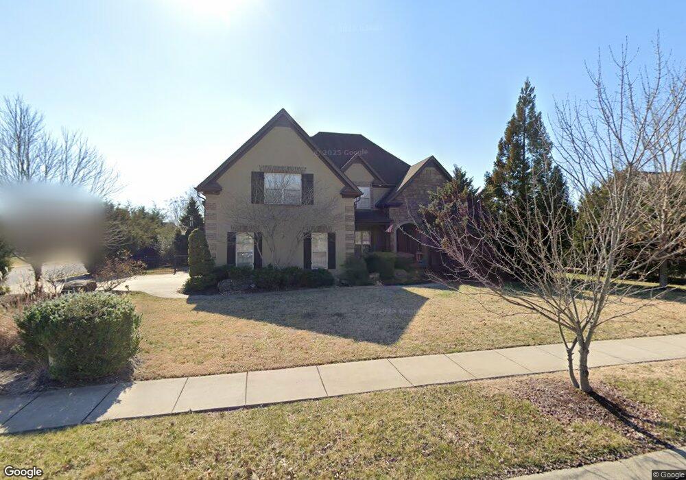
1016 Muirwood Blvd Murfreesboro, TN 37128
Estimated Value: $572,000 - $771,000
--
Bed
--
Bath
3,518
Sq Ft
$201/Sq Ft
Est. Value
About This Home
This home is located at 1016 Muirwood Blvd, Murfreesboro, TN 37128 and is currently estimated at $705,847, approximately $200 per square foot. 1016 Muirwood Blvd is a home located in Rutherford County with nearby schools including Rockvale Elementary School, Rockvale Middle School, and Rockvale High School.
Ownership History
Date
Name
Owned For
Owner Type
Purchase Details
Closed on
May 31, 2013
Sold by
Davis Andrew P Elizab
Bought by
Floyd Rodney C Rebecca
Current Estimated Value
Home Financials for this Owner
Home Financials are based on the most recent Mortgage that was taken out on this home.
Original Mortgage
$303,920
Outstanding Balance
$215,032
Interest Rate
3.37%
Mortgage Type
Commercial
Estimated Equity
$490,815
Purchase Details
Closed on
Apr 17, 2009
Sold by
Simmons Builders Inc
Bought by
Davis Andrew P
Home Financials for this Owner
Home Financials are based on the most recent Mortgage that was taken out on this home.
Original Mortgage
$332,000
Interest Rate
5.01%
Create a Home Valuation Report for This Property
The Home Valuation Report is an in-depth analysis detailing your home's value as well as a comparison with similar homes in the area
Home Values in the Area
Average Home Value in this Area
Purchase History
| Date | Buyer | Sale Price | Title Company |
|---|---|---|---|
| Floyd Rodney C Rebecca | $379,900 | -- | |
| Davis Andrew P | $415,000 | -- |
Source: Public Records
Mortgage History
| Date | Status | Borrower | Loan Amount |
|---|---|---|---|
| Open | Floyd Rodney C Rebecca | $303,920 | |
| Previous Owner | Davis Andrew P | $332,000 |
Source: Public Records
Tax History Compared to Growth
Tax History
| Year | Tax Paid | Tax Assessment Tax Assessment Total Assessment is a certain percentage of the fair market value that is determined by local assessors to be the total taxable value of land and additions on the property. | Land | Improvement |
|---|---|---|---|---|
| 2025 | $3,053 | $162,725 | $13,750 | $148,975 |
| 2024 | $3,053 | $162,725 | $13,750 | $148,975 |
| 2023 | $3,053 | $162,725 | $13,750 | $148,975 |
| 2022 | $2,630 | $162,725 | $13,750 | $148,975 |
| 2021 | $2,945 | $132,700 | $13,750 | $118,950 |
| 2020 | $2,945 | $132,700 | $13,750 | $118,950 |
| 2019 | $2,945 | $132,700 | $13,750 | $118,950 |
Source: Public Records
Map
Nearby Homes
- 104 Jasmond Ct
- 4302 Peacemill Ln
- 4309 Attleboro Dr
- 4651 Maryweather Ln
- 1362 Amboress Ln
- 4404 Attleboro Dr
- 2235 Rockweather Dr
- 2301 Rockweather Dr
- 3838 Faithway Dr
- 4417 Attleboro Dr
- 1004 Harwell Ln
- 1005 Harwell Ln
- Allegheny Plan at Muirwood
- Ballenger Plan at Muirwood
- Columbia Plan at Muirwood
- 1001 Harwell Ln
- 4512 Marymont Springs Blvd
- 1026 Gary Ct
- 1802 Oak Dr
- 1814 Oak Dr
- 61 Breezing Ct
- 1012 Muirwood Blvd
- 1019 Breezing Ct
- 1301 Oak Dr
- 1403 Oak Drive Muirwood Lot125
- 1015 Breezing Ct
- 1008 Muirwood Blvd
- 1305 Oak Dr
- 1333 Oak Dr
- 1314 Oak Dr
- 1313 Oak Dr
- 65 Breezing Ct
- 1204 Oak Dr
- 1013 Muirwood Blvd
- 1011 Breezing Ct
- 1309 Oak Dr
- 1205 Oak Dr
- 1018 Breezing Ct
- 1004 Muirwood Blvd
- 1009 Muirwood Blvd