1016 Poe St Vandergrift, PA 15690
Estimated Value: $85,000 - $153,000
3
Beds
1
Bath
--
Sq Ft
6,011
Sq Ft Lot
About This Home
This home is located at 1016 Poe St, Vandergrift, PA 15690 and is currently estimated at $115,303. 1016 Poe St is a home located in Westmoreland County with nearby schools including Kiski Area High School and Orchard Hills Christian Academy.
Ownership History
Date
Name
Owned For
Owner Type
Purchase Details
Closed on
May 20, 2010
Sold by
Magness Ian M and Carney Becky J
Bought by
Thompson Veronica S
Current Estimated Value
Home Financials for this Owner
Home Financials are based on the most recent Mortgage that was taken out on this home.
Original Mortgage
$21,500
Outstanding Balance
$14,259
Interest Rate
5.23%
Mortgage Type
New Conventional
Estimated Equity
$101,044
Purchase Details
Closed on
Jan 27, 2006
Sold by
Knabb Dorothy and George Emma Lou
Bought by
Magness Ian M and Carney Becky J
Create a Home Valuation Report for This Property
The Home Valuation Report is an in-depth analysis detailing your home's value as well as a comparison with similar homes in the area
Home Values in the Area
Average Home Value in this Area
Purchase History
| Date | Buyer | Sale Price | Title Company |
|---|---|---|---|
| Thompson Veronica S | $38,000 | Pennsylvania Land Titles | |
| Magness Ian M | $31,000 | None Available |
Source: Public Records
Mortgage History
| Date | Status | Borrower | Loan Amount |
|---|---|---|---|
| Open | Thompson Veronica S | $21,500 |
Source: Public Records
Tax History
| Year | Tax Paid | Tax Assessment Tax Assessment Total Assessment is a certain percentage of the fair market value that is determined by local assessors to be the total taxable value of land and additions on the property. | Land | Improvement |
|---|---|---|---|---|
| 2026 | $1,498 | $8,960 | $1,780 | $7,180 |
| 2025 | $1,462 | $8,960 | $1,780 | $7,180 |
| 2024 | $1,392 | $8,960 | $1,780 | $7,180 |
| 2023 | $1,282 | $8,960 | $1,780 | $7,180 |
| 2022 | $1,255 | $8,960 | $1,780 | $7,180 |
| 2021 | $1,255 | $8,960 | $1,780 | $7,180 |
| 2020 | $1,252 | $8,960 | $1,780 | $7,180 |
| 2019 | $1,248 | $8,960 | $1,780 | $7,180 |
| 2018 | $1,230 | $8,960 | $1,780 | $7,180 |
| 2017 | $1,203 | $8,960 | $1,780 | $7,180 |
| 2016 | $1,187 | $8,960 | $1,780 | $7,180 |
| 2015 | $1,187 | $8,960 | $1,780 | $7,180 |
| 2014 | $1,181 | $8,960 | $1,780 | $7,180 |
Source: Public Records
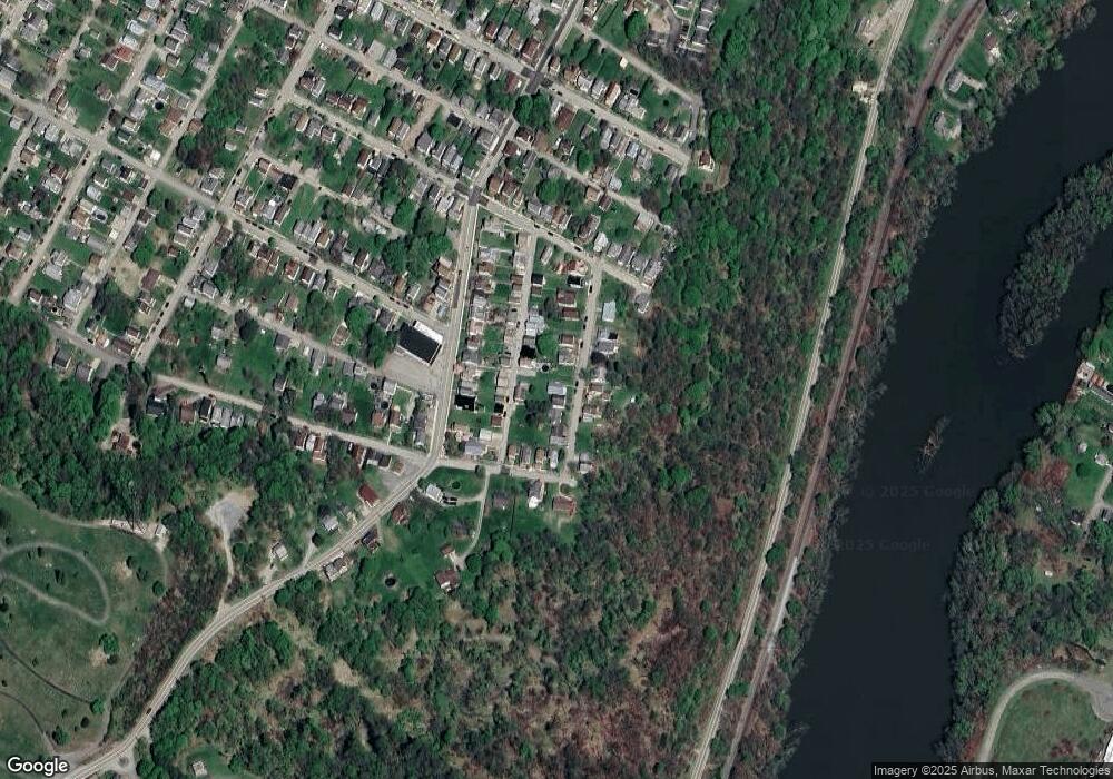
Map
Nearby Homes
- 208 Whittier St
- 1020 Poe St
- 221 Holmes St
- 231 Whittier St
- 924 Wallace St
- 303 Lowell St
- 314 Lowell St Unit 1/2
- 327 Lowell St
- 802 Mckinley Ave
- 300 Longfellow St
- 1206 Wysocki Ave
- 1206, 1207, 1210 Wysocki Ave
- 325 Walnut St
- 410 Longfellow St
- 510 Franklin Ave
- 439 Longfellow St
- 733 N Warren Ave
- 608 Kennedy Ave
- 512 Watson St
- 512 Longfellow St
- 1014 Poe St
- 1018 1/2 Poe St
- 1018 Poe St
- 1012 Poe St
- 1010 Poe St
- 1015 Poe St Unit 1017
- 110 Bryant St
- 112 Bryant St
- 1008 Poe St
- 1021 Hancock Ave
- 114 Bryant St
- 108 Bryant St
- 1023 Hancock Ave Unit A
- 1023 Hancock Ave
- 1019 Hancock Ave
- 1025 Hancock Ave
- 1017 Hancock Ave
- 1006 Poe St
- 1013 Poe St
- 1027 Hancock Ave
Your Personal Tour Guide
Ask me questions while you tour the home.