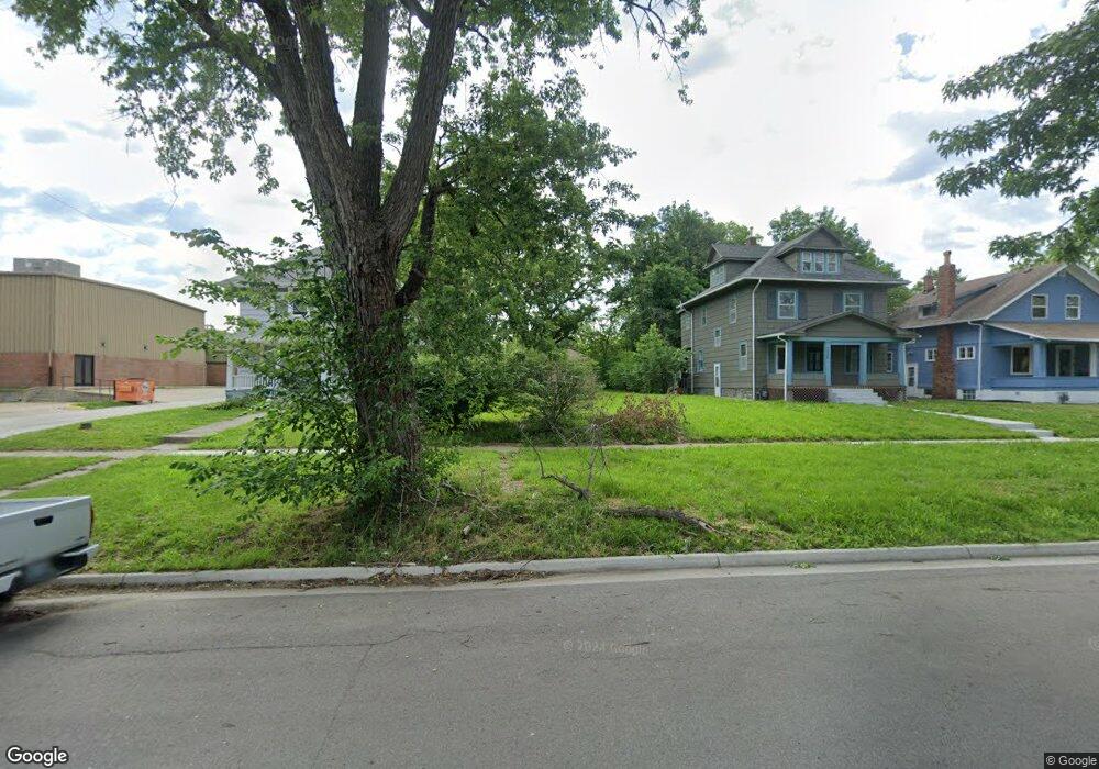
1016 SW Lincoln St Topeka, KS 66604
Tennessee Town NeighborhoodEstimated Value: $49,516 - $165,000
2
Beds
2
Baths
308
Sq Ft
$306/Sq Ft
Est. Value
About This Home
This home is located at 1016 SW Lincoln St, Topeka, KS 66604 and is currently estimated at $94,379, approximately $306 per square foot. 1016 SW Lincoln St is a home located in Shawnee County with nearby schools including Lowman Hill Elementary School, Robinson Middle School, and Topeka High School.
Ownership History
Date
Name
Owned For
Owner Type
Purchase Details
Closed on
Aug 16, 2024
Sold by
Fogg Krysten
Bought by
Anderson Patrick
Current Estimated Value
Purchase Details
Closed on
May 16, 2023
Sold by
Topeka Habitat For Humanity Inc
Bought by
Fogg Krysten
Purchase Details
Closed on
Feb 17, 2021
Sold by
Capitol Federal Savings Bank
Bought by
Topeka Habitat For Humanity
Purchase Details
Closed on
Aug 3, 2020
Sold by
May Nancy D
Bought by
Capitol Federal Savings Bank
Create a Home Valuation Report for This Property
The Home Valuation Report is an in-depth analysis detailing your home's value as well as a comparison with similar homes in the area
Home Values in the Area
Average Home Value in this Area
Purchase History
| Date | Buyer | Sale Price | Title Company |
|---|---|---|---|
| Anderson Patrick | -- | None Listed On Document | |
| Fogg Krysten | -- | None Listed On Document | |
| Topeka Habitat For Humanity | -- | None Available | |
| Capitol Federal Savings Bank | $29,768 | None Available |
Source: Public Records
Tax History Compared to Growth
Tax History
| Year | Tax Paid | Tax Assessment Tax Assessment Total Assessment is a certain percentage of the fair market value that is determined by local assessors to be the total taxable value of land and additions on the property. | Land | Improvement |
|---|---|---|---|---|
| 2025 | $35 | $234 | -- | -- |
| 2023 | $35 | $234 | $0 | $0 |
| 2022 | $36 | $234 | $0 | $0 |
| 2021 | $37 | $234 | $0 | $0 |
| 2020 | $1,016 | $5,624 | $0 | $0 |
| 2019 | $832 | $5,514 | $0 | $0 |
| 2018 | $807 | $5,353 | $0 | $0 |
| 2017 | $809 | $5,353 | $0 | $0 |
| 2014 | $818 | $5,353 | $0 | $0 |
Source: Public Records
Map
Nearby Homes
- 1031 SW Clay St
- 1020 SW 11th St
- 731 SW Lincoln St
- 711 SW Buchanan St
- 634 SW Lincoln St
- 1224 SW Garfield Ave
- 1200 SW Taylor St
- 1021 SW Polk St
- 1225 SW Throop St
- 1281 SW Buchanan St
- 1216 SW College Ave
- 1301 SW Fillmore St Unit Main Floor Apt. 12
- 1300 SW Fillmore St
- 2012 SW 10th Ave
- 511 SW Buchanan St
- 817 SW Tyler St
- 710 SW 13th St
- 505 SW Clay St
- 603 SW 8th St
- 1156 SW Woodward Ave
- 1014 SW Lincoln St
- 1020 SW Lincoln St
- 1024 SW Lincoln St
- 1028 SW Lincoln St
- 1213 SW 10th Ave
- 1032 SW Lincoln St
- 1021 SW Buchanan St
- 1023 SW Buchanan St
- 1015 SW Buchanan St
- 1017 SW Lincoln St
- 1019 SW Lincoln St
- 1027 SW Buchanan St
- 1034 SW Lincoln St
- 1023 SW Lincoln St
- 1212 SW 11th St
- 1025 SW Lincoln St
- 1031 SW Buchanan St
- 1027 SW Lincoln St
- 1208 SW 11th St
- 1029 SW Lincoln St