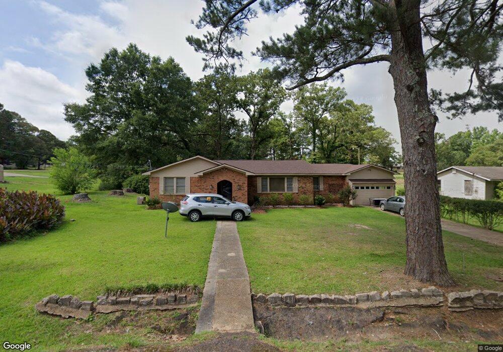
1016 Wilson St McComb, MS 39648
Estimated Value: $80,000 - $121,000
3
Beds
2
Baths
1,624
Sq Ft
$66/Sq Ft
Est. Value
About This Home
This home is located at 1016 Wilson St, McComb, MS 39648 and is currently estimated at $106,730, approximately $65 per square foot. 1016 Wilson St is a home located in Pike County with nearby schools including Higgins Middle School, Otken Elementary School, and Denman Junior High School.
Ownership History
Date
Name
Owned For
Owner Type
Purchase Details
Closed on
Nov 4, 2013
Sold by
Osman Neil Stuart
Bought by
Mcdowell Linda Gail
Current Estimated Value
Purchase Details
Closed on
Aug 25, 2008
Sold by
Mcdowell Mickell L and Mcdowell Rosalind P
Bought by
Osman Jeffrey F
Home Financials for this Owner
Home Financials are based on the most recent Mortgage that was taken out on this home.
Original Mortgage
$90,306
Interest Rate
6.32%
Mortgage Type
New Conventional
Create a Home Valuation Report for This Property
The Home Valuation Report is an in-depth analysis detailing your home's value as well as a comparison with similar homes in the area
Purchase History
| Date | Buyer | Sale Price | Title Company |
|---|---|---|---|
| Mcdowell Linda Gail | -- | None Available | |
| Osman Jeffrey F | -- | None Available |
Source: Public Records
Mortgage History
| Date | Status | Borrower | Loan Amount |
|---|---|---|---|
| Previous Owner | Osman Jeffrey F | $90,306 |
Source: Public Records
Tax History
| Year | Tax Paid | Tax Assessment Tax Assessment Total Assessment is a certain percentage of the fair market value that is determined by local assessors to be the total taxable value of land and additions on the property. | Land | Improvement |
|---|---|---|---|---|
| 2025 | -- | $6,309 | $0 | $0 |
| 2024 | $1,459 | $8,171 | $0 | $0 |
| 2023 | $1,443 | $8,171 | $0 | $0 |
| 2022 | $1,422 | $8,171 | $0 | $0 |
| 2021 | $1,418 | $8,171 | $0 | $0 |
| 2020 | $1,505 | $8,667 | $0 | $0 |
| 2019 | $1,439 | $8,667 | $0 | $0 |
| 2018 | $1,397 | $8,667 | $0 | $0 |
| 2017 | $1,405 | $8,667 | $0 | $0 |
| 2016 | $1,395 | $8,667 | $0 | $0 |
| 2015 | $1,367 | $8,528 | $0 | $0 |
| 2014 | $1,367 | $8,528 | $0 | $0 |
| 2013 | -- | $8,528 | $0 | $0 |
Source: Public Records
Map
Nearby Homes
- 1002 Pershing St
- 0 Morgantown Rd Unit 4125975
- 505 S Magnolia St
- 219 S Live Oak St
- 318 S Cherry St
- 0 Old 24 Hwy
- 1148 Morgantown Rd
- 115 Scott St
- 1031 Pearl River Ave
- 425 S Broadway St
- 1019 Pearl River Avenue Extension
- 214 Thompson St
- 823 Edgar St
- 133 N Live Oak St
- 200-208 5th Ave
- 143 N Myrtle St
- XXX US Highway 98
- 7153 US Highway 98
- 00 US Highway 98
- 1047 Lenoir Sellers Rd
- 1010 Wilson St
- 802 S Locust St
- 1017 Wilson St
- 720 S Locust St
- 1015 Wilson St
- 1009 Wilson St
- 600 S Locust St
- 701 S Locust St
- 1006 Wilson St
- 709 S Locust St
- 0 Pershing St
- 805 S Locust St
- 1200 Wilson St
- 778 Wilson St
- 914 Wilson St
- 708 Saunders St
- 1103 Wilson St
- 1010 Pershing St
- 602 S Locust St
- 1016 Laird Ave
Your Personal Tour Guide
Ask me questions while you tour the home.