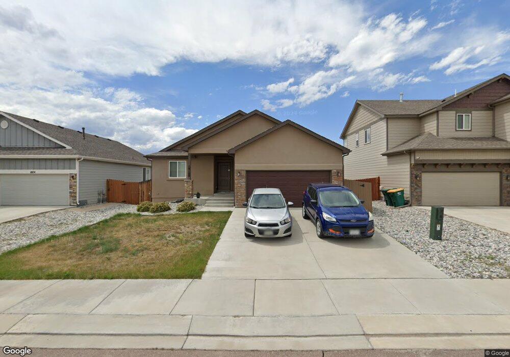
10160 Declaration Dr Colorado Springs, CO 80925
Widefield NeighborhoodEstimated Value: $433,000 - $466,000
4
Beds
3
Baths
1,272
Sq Ft
$350/Sq Ft
Est. Value
About This Home
This home is located at 10160 Declaration Dr, Colorado Springs, CO 80925 and is currently estimated at $445,805, approximately $350 per square foot. 10160 Declaration Dr is a home located in El Paso County with nearby schools including Grand Mountain School, Mesa Ridge High School, and Valley Christian Academy.
Ownership History
Date
Name
Owned For
Owner Type
Purchase Details
Closed on
Jan 10, 2022
Sold by
Brooks Antonette K and Brooks Timothy M
Bought by
Ah4r Properties Two Llc
Current Estimated Value
Purchase Details
Closed on
Jul 21, 2016
Sold by
Saint Aubyn Homes Llc
Bought by
Brooks Antonette K and Brooks Timothy M
Home Financials for this Owner
Home Financials are based on the most recent Mortgage that was taken out on this home.
Original Mortgage
$300,165
Interest Rate
3.56%
Mortgage Type
VA
Create a Home Valuation Report for This Property
The Home Valuation Report is an in-depth analysis detailing your home's value as well as a comparison with similar homes in the area
Home Values in the Area
Average Home Value in this Area
Purchase History
| Date | Buyer | Sale Price | Title Company |
|---|---|---|---|
| Ah4r Properties Two Llc | $454,000 | Fidelity National Title | |
| Brooks Antonette K | $293,848 | Heritage Title Co |
Source: Public Records
Mortgage History
| Date | Status | Borrower | Loan Amount |
|---|---|---|---|
| Previous Owner | Brooks Antonette K | $300,165 |
Source: Public Records
Tax History Compared to Growth
Tax History
| Year | Tax Paid | Tax Assessment Tax Assessment Total Assessment is a certain percentage of the fair market value that is determined by local assessors to be the total taxable value of land and additions on the property. | Land | Improvement |
|---|---|---|---|---|
| 2025 | $4,506 | $30,530 | -- | -- |
| 2024 | $4,456 | $31,720 | $6,040 | $25,680 |
| 2022 | $3,461 | $23,320 | $4,810 | $18,510 |
| 2021 | $3,603 | $24,000 | $4,950 | $19,050 |
| 2020 | $3,432 | $22,640 | $4,330 | $18,310 |
| 2019 | $3,422 | $22,640 | $4,330 | $18,310 |
| 2018 | $3,403 | $22,340 | $4,360 | $17,980 |
| 2017 | $3,470 | $22,340 | $4,360 | $17,980 |
| 2016 | $736 | $5,280 | $5,280 | $0 |
Source: Public Records
Map
Nearby Homes
- 10202 Abrams Dr
- 10208 Abrams Dr
- 10868 Deer Meadow Cir
- 10250 Intrepid Way
- 6375 White Wolf Point
- 6868 Alsea Dr
- 6705 Liberator Trail
- 6431 Old Glory Dr
- 6733 Liberator Trail
- 10405 Abrams Dr
- 10394 Abrams Dr
- 6338 Bearcat Loop
- 6241 Old Glory Dr
- 6231 Old Glory Dr
- 10670 Abrams Dr
- 6071 Old Glory Dr
- 10604 Deer Meadow Cir
- 10568 Kalama Dr
- 10442 Abrams Dr
- 6282 Pilgrimage Rd
- 10154 Declaration Dr
- 10166 Declaration Dr
- 10059 Intrepid Way
- 10142 Declaration Dr
- 10035 Intrepid Way
- 10153 Declaration Dr
- 10027 Intrepid Way
- 10159 Declaration Dr
- 10136 Declaration Dr
- 10147 Declaration Dr
- 10165 Declaration Dr
- 10019 Intrepid Way
- 10082 Intrepid Way
- 10074 Intrepid Way
- 7083 Peachleaf Dr
- 6213 Wacissa Dr
- 10961 Tarbell Dr
- 10777 Yuba Dr
- 6004 Nash Dr
- 10118 Declaration Dr