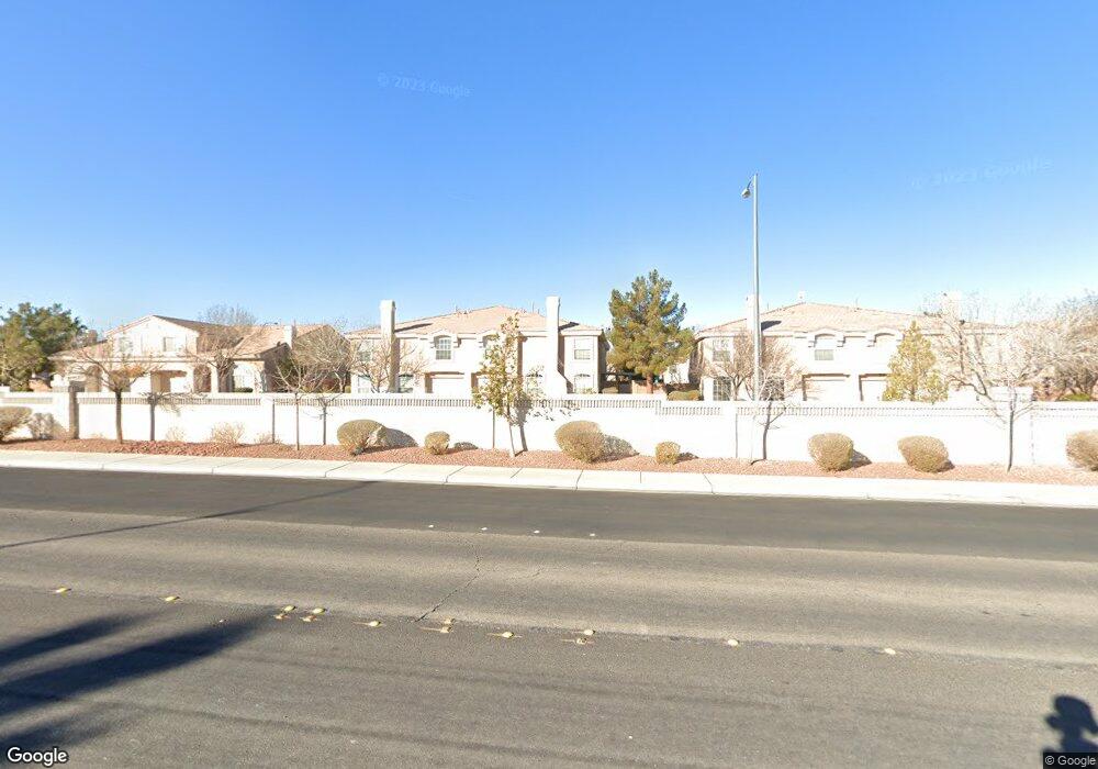
10169 Rolling Tree St Las Vegas, NV 89183
Silverado Ranch NeighborhoodEstimated Value: $333,202 - $369,000
3
Beds
3
Baths
1,510
Sq Ft
$231/Sq Ft
Est. Value
About This Home
This home is located at 10169 Rolling Tree St, Las Vegas, NV 89183 and is currently estimated at $348,551, approximately $230 per square foot. 10169 Rolling Tree St is a home located in Clark County with nearby schools including John C. Bass Elementary School, Charles Silvestri Junior High School, and Liberty High School.
Ownership History
Date
Name
Owned For
Owner Type
Purchase Details
Closed on
Oct 9, 2002
Sold by
Smith William H and Smith Natilean W
Bought by
Smith William H and Smith Natilean W
Current Estimated Value
Home Financials for this Owner
Home Financials are based on the most recent Mortgage that was taken out on this home.
Original Mortgage
$38,000
Interest Rate
5.86%
Create a Home Valuation Report for This Property
The Home Valuation Report is an in-depth analysis detailing your home's value as well as a comparison with similar homes in the area
Home Values in the Area
Average Home Value in this Area
Purchase History
| Date | Buyer | Sale Price | Title Company |
|---|---|---|---|
| Smith William H | -- | -- | |
| Smith William H | $138,000 | Lawyers Title |
Source: Public Records
Mortgage History
| Date | Status | Borrower | Loan Amount |
|---|---|---|---|
| Previous Owner | Smith William H | $38,000 |
Source: Public Records
Tax History Compared to Growth
Tax History
| Year | Tax Paid | Tax Assessment Tax Assessment Total Assessment is a certain percentage of the fair market value that is determined by local assessors to be the total taxable value of land and additions on the property. | Land | Improvement |
|---|---|---|---|---|
| 2025 | $1,558 | $88,656 | $30,800 | $57,856 |
| 2024 | $1,443 | $88,656 | $30,800 | $57,856 |
| 2023 | $1,443 | $76,355 | $23,800 | $52,555 |
| 2022 | $1,337 | $72,260 | $22,400 | $49,860 |
| 2021 | $1,238 | $61,882 | $21,350 | $40,532 |
| 2020 | $1,199 | $62,202 | $19,950 | $42,252 |
| 2019 | $1,184 | $59,416 | $17,500 | $41,916 |
| 2018 | $1,130 | $52,282 | $12,250 | $40,032 |
| 2017 | $1,523 | $51,566 | $11,900 | $39,666 |
| 2016 | $1,071 | $48,567 | $9,100 | $39,467 |
| 2015 | $1,068 | $34,917 | $5,950 | $28,967 |
| 2014 | $1,035 | $34,002 | $5,250 | $28,752 |
Source: Public Records
Map
Nearby Homes
- 10187 Tree Bark St
- 10152 Climbing Lily St
- 10142 Tree Creek Ct
- 465 Green Gables Ave
- 10294 Bethel Mill St
- 10268 Union Park Ct Unit 2
- 508 Candy Mint Ave
- 10324 Beautiful Fruit St
- 10342 Midseason Mist St
- 10142 Rice Paper St
- 10208 Ghost Gum St
- 627 Steep Canyon Ave
- 10405 Baby Bud St
- 10385 Midnight Iris St
- 10000 Clear Crystal St
- 645 Soaring Wings Ave
- 338 Brabant Ave
- 829 Dancing Vines Ave
- 321 Whispering Tree Ave
- 10016 Mystic Dance St
- 10177 Rolling Tree St
- 10161 Rolling Tree St Unit 2
- 10170 Rocky Tree St Unit 2
- 10178 Rocky Tree St
- 10162 Rocky Tree St
- 10185 Rolling Tree St
- 10153 Rolling Tree St
- 10186 Rocky Tree St Unit 2
- 10154 Rocky Tree St
- 10193 Rolling Tree St
- 10145 Rolling Tree St Unit None
- 10145 Rolling Tree St Unit 2
- 10145 Rolling Tree St
- 10194 Rocky Tree St Unit 2
- 10146 Rocky Tree St Unit n/a
- 10146 Rocky Tree St
- 10171 Rocky Tree St
- 10163 Rocky Tree St
- 10179 Rocky Tree St
- 10187 Rocky Tree St