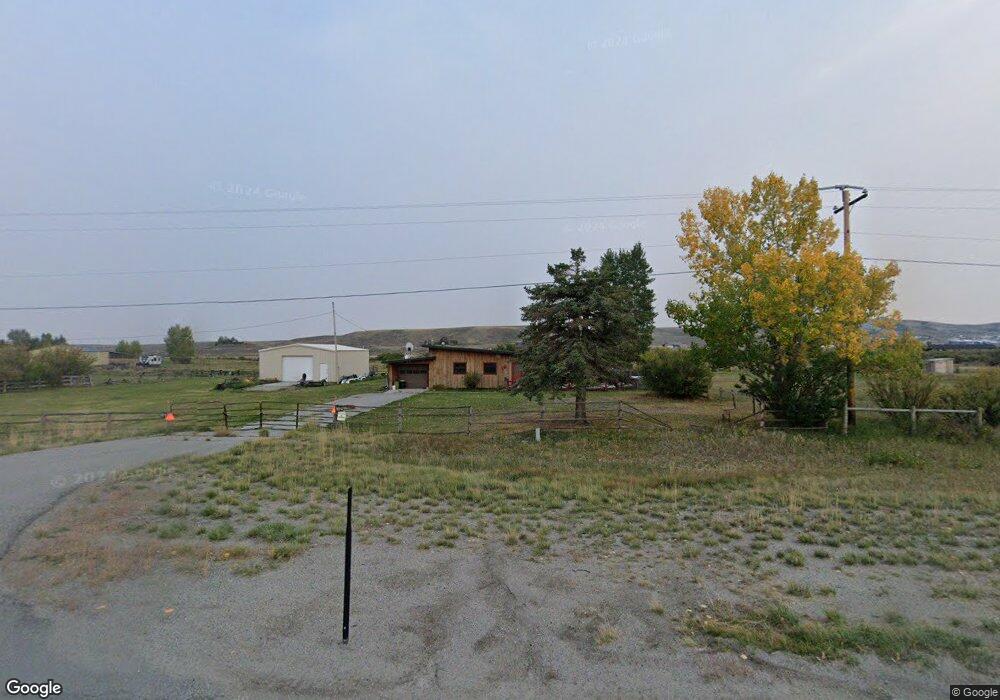
10169 Us Highway 191 Pinedale, WY 82941
Estimated Value: $362,000 - $497,000
--
Bed
--
Bath
1,400
Sq Ft
$292/Sq Ft
Est. Value
About This Home
This home is located at 10169 Us Highway 191, Pinedale, WY 82941 and is currently estimated at $409,499, approximately $292 per square foot. 10169 Us Highway 191 is a home with nearby schools including Pinedale High School.
Ownership History
Date
Name
Owned For
Owner Type
Purchase Details
Closed on
Nov 7, 2024
Sold by
Dyess William C and Dyess Shelby J
Bought by
Martin Chelsie and Henry Cory
Current Estimated Value
Home Financials for this Owner
Home Financials are based on the most recent Mortgage that was taken out on this home.
Original Mortgage
$281,200
Outstanding Balance
$278,379
Interest Rate
6.08%
Mortgage Type
New Conventional
Estimated Equity
$131,120
Create a Home Valuation Report for This Property
The Home Valuation Report is an in-depth analysis detailing your home's value as well as a comparison with similar homes in the area
Home Values in the Area
Average Home Value in this Area
Purchase History
| Date | Buyer | Sale Price | Title Company |
|---|---|---|---|
| Martin Chelsie | -- | First American Title |
Source: Public Records
Mortgage History
| Date | Status | Borrower | Loan Amount |
|---|---|---|---|
| Open | Martin Chelsie | $281,200 |
Source: Public Records
Tax History Compared to Growth
Tax History
| Year | Tax Paid | Tax Assessment Tax Assessment Total Assessment is a certain percentage of the fair market value that is determined by local assessors to be the total taxable value of land and additions on the property. | Land | Improvement |
|---|---|---|---|---|
| 2025 | $1,183 | $16,740 | $3,491 | $13,249 |
| 2024 | $1,378 | $20,375 | $4,655 | $15,720 |
| 2023 | $1,271 | $19,794 | $4,655 | $15,139 |
| 2022 | $1,332 | $20,899 | $6,641 | $14,258 |
| 2021 | $984 | $16,166 | $4,204 | $11,962 |
| 2020 | $984 | $15,531 | $4,038 | $11,493 |
| 2019 | $933 | $14,841 | $3,800 | $11,041 |
| 2018 | $900 | $14,309 | $3,800 | $10,509 |
| 2017 | $893 | $14,240 | $4,513 | $9,727 |
| 2016 | $975 | $15,668 | $4,513 | $11,155 |
| 2015 | -- | $15,896 | $4,513 | $11,383 |
| 2014 | -- | $13,457 | $4,204 | $9,253 |
| 2013 | -- | $13,091 | $4,228 | $8,863 |
Source: Public Records
Map
Nearby Homes
- 10155 U S Hwy 191
- TBD W Pine St
- TBD Buckboard Rd
- TBD Wilson St
- TRACT A Wilson St
- 1724 Learning Ln
- Hoback Plan at Pronghorn Crossing - Wind River Series
- Pinnacle Plan at Pronghorn Crossing - Gros Ventre Series
- Fremont Plan at Pronghorn Crossing - Wind River Series
- Bridger Plan at Pronghorn Crossing - Wind River Series
- Tosi Plan at Pronghorn Crossing - Gros Ventre Series
- Antoinette Plan at Pronghorn Crossing - Gros Ventre Series
- 1667 Wrangler Way
- 1622 Wrangler Way
- 1625 Wrangler Way
- 1673 Wrangler Way
- 1631 Wrangler Way
- 1634 Wrangler Way
- 1700 Learning Ln
- 1670 Wrangler Way
- 10167 Us Highway 191
- 10177 Us Highway 191
- 31 Bloom Ln
- LOT 18 Bloom Ln
- 10161 Us Highway 191
- 10179 U S 191
- 23 Bloom Ln
- 10159 Us Highway 191
- 10159 Us Highway 191
- 19 Bloom Ln
- TBD Us Hwy 191
- 10179 Us Highway 191
- 10155 Us Highway 191
- 10151 U S Hwy 191
- 10151 Us Highway 191
- 9 Bloom Ln
- 5 Bloom Ln
- 10147 Us Highway 191
- 15 Duck Creek Ln
- 57 Big Loop Rd