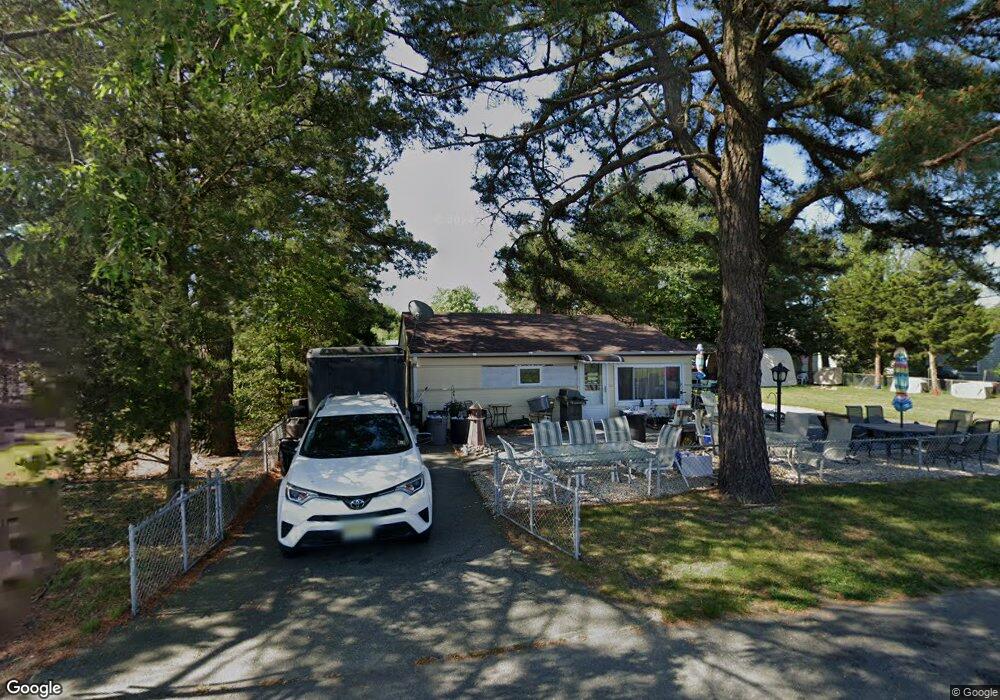
1017 Anchor Way Forked River, NJ 08731
Lacey Township NeighborhoodEstimated Value: $298,932 - $362,000
3
Beds
1
Bath
900
Sq Ft
$367/Sq Ft
Est. Value
About This Home
This home is located at 1017 Anchor Way, Forked River, NJ 08731 and is currently estimated at $330,233, approximately $366 per square foot. 1017 Anchor Way is a home located in Ocean County with nearby schools including Lacey Township High School.
Ownership History
Date
Name
Owned For
Owner Type
Purchase Details
Closed on
Dec 18, 2006
Sold by
Goodheart Shawn
Bought by
Goodheart Shawn and Milden Michelle
Current Estimated Value
Home Financials for this Owner
Home Financials are based on the most recent Mortgage that was taken out on this home.
Original Mortgage
$232,750
Outstanding Balance
$148,613
Interest Rate
7.57%
Mortgage Type
Purchase Money Mortgage
Estimated Equity
$181,620
Purchase Details
Closed on
Apr 18, 2006
Sold by
Goodheart Betty and Jakubowski Richard
Bought by
Goodheart Shawn
Home Financials for this Owner
Home Financials are based on the most recent Mortgage that was taken out on this home.
Original Mortgage
$28,000
Interest Rate
6.17%
Mortgage Type
Stand Alone Second
Create a Home Valuation Report for This Property
The Home Valuation Report is an in-depth analysis detailing your home's value as well as a comparison with similar homes in the area
Home Values in the Area
Average Home Value in this Area
Purchase History
| Date | Buyer | Sale Price | Title Company |
|---|---|---|---|
| Goodheart Shawn | -- | Equititle Llc | |
| Goodheart Shawn | $225,000 | Nationwide Title Agency Inc |
Source: Public Records
Mortgage History
| Date | Status | Borrower | Loan Amount |
|---|---|---|---|
| Open | Goodheart Shawn | $232,750 | |
| Closed | Goodheart Shawn | $28,000 | |
| Previous Owner | Goodheart Shawn | $180,000 |
Source: Public Records
Tax History Compared to Growth
Tax History
| Year | Tax Paid | Tax Assessment Tax Assessment Total Assessment is a certain percentage of the fair market value that is determined by local assessors to be the total taxable value of land and additions on the property. | Land | Improvement |
|---|---|---|---|---|
| 2025 | $3,434 | $135,500 | $63,000 | $72,500 |
| 2024 | $3,210 | $135,500 | $63,000 | $72,500 |
| 2023 | $3,066 | $135,500 | $63,000 | $72,500 |
| 2022 | $3,066 | $135,500 | $63,000 | $72,500 |
| 2021 | $3,015 | $135,500 | $63,000 | $72,500 |
| 2020 | $2,919 | $135,500 | $63,000 | $72,500 |
| 2019 | $2,867 | $135,500 | $63,000 | $72,500 |
| 2018 | $2,833 | $135,500 | $63,000 | $72,500 |
| 2017 | $2,768 | $135,500 | $63,000 | $72,500 |
| 2016 | $2,757 | $135,500 | $63,000 | $72,500 |
| 2015 | $2,634 | $135,500 | $63,000 | $72,500 |
| 2014 | $2,941 | $171,000 | $113,000 | $58,000 |
Source: Public Records
Map
Nearby Homes
- 1007 Inland Rd
- 1003 Kohala Dr
- 1003 Kanoehe Dr
- 1012 E Panama Ct
- 1131 Beach Blvd
- 1001 E Panama Ct
- 908 Sarasota Dr
- 805 Beach Blvd
- 703 Chesapeake Dr
- 2 Gull Ct
- 1227 Gemini Ct
- 601 Franklin Ct
- 635 Oakwood Dr
- 1209 Plover Ct
- 1204 Penguin Ct
- 1211 Gemini Ct
- 1304 Kauai Dr
- 634 Fairview Ln
- 1407 Hilo Bay Dr
- 1210 Skimmer Ct
- 1018 Inland Rd
- 1020 Inland Rd
- 1013 Anchor Way
- 1016 Inland Rd
- 1020 Anchor Way
- 1016 Anchor Way
- 1011 Anchor Way
- 1131 Cape May Dr
- 1012 Inland Rd
- 1129 Cape May Dr
- 1127 Cape May Dr
- 1133 Cape May Dr
- 1010 Anchor Way
- 0 Anchor Way
- 1017 Inland Rd
- 1019 Inland Rd
- 1015 Inland Rd
- 1015 Waterview Way
- 1007 Anchor Way
- 1013 Waterview Way