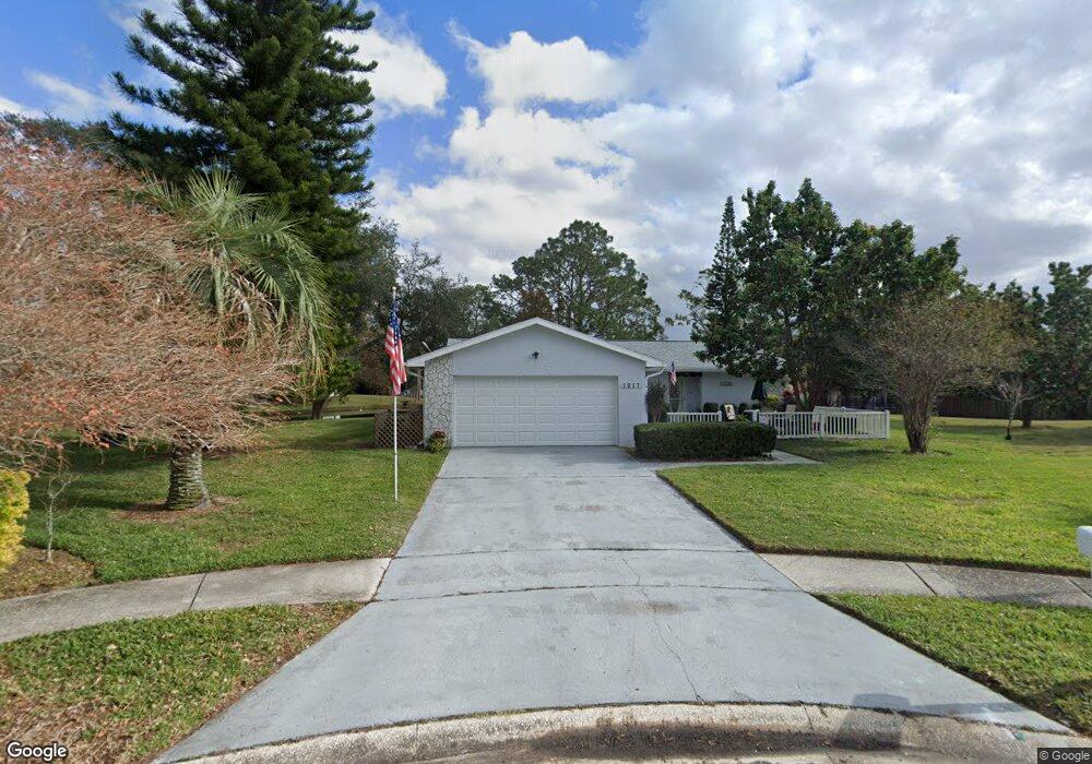
1017 Brae Ct Palm Harbor, FL 34684
Estimated Value: $315,730 - $353,000
--
Bed
--
Bath
1,190
Sq Ft
$281/Sq Ft
Est. Value
About This Home
This home is located at 1017 Brae Ct, Palm Harbor, FL 34684 and is currently estimated at $334,933, approximately $281 per square foot. 1017 Brae Ct is a home located in Pinellas County with nearby schools including Highland Lakes Elementary School, Joseph L. Carwise Middle School, and Palm Harbor University High.
Ownership History
Date
Name
Owned For
Owner Type
Purchase Details
Closed on
Apr 7, 2021
Sold by
Coates Mary Anne
Bought by
Coates Mary Anne and Richardson Thomas H
Current Estimated Value
Purchase Details
Closed on
Jan 19, 1996
Sold by
Stephens Helene E
Bought by
Coates Gerald C and Coates Mary A
Purchase Details
Closed on
Jun 23, 1994
Sold by
Wosinko Michael A and Wosinko Maureen S
Bought by
Stephens Helene E
Home Financials for this Owner
Home Financials are based on the most recent Mortgage that was taken out on this home.
Original Mortgage
$41,000
Interest Rate
8.73%
Create a Home Valuation Report for This Property
The Home Valuation Report is an in-depth analysis detailing your home's value as well as a comparison with similar homes in the area
Home Values in the Area
Average Home Value in this Area
Purchase History
| Date | Buyer | Sale Price | Title Company |
|---|---|---|---|
| Coates Mary Anne | -- | Accommodation | |
| Coates Gerald C | $70,000 | -- | |
| Stephens Helene E | $76,000 | -- |
Source: Public Records
Mortgage History
| Date | Status | Borrower | Loan Amount |
|---|---|---|---|
| Previous Owner | Stephens Helene E | $41,000 |
Source: Public Records
Tax History Compared to Growth
Tax History
| Year | Tax Paid | Tax Assessment Tax Assessment Total Assessment is a certain percentage of the fair market value that is determined by local assessors to be the total taxable value of land and additions on the property. | Land | Improvement |
|---|---|---|---|---|
| 2024 | $1,356 | $116,764 | -- | -- |
| 2023 | $1,356 | $113,363 | $0 | $0 |
| 2022 | $1,379 | $110,061 | $0 | $0 |
| 2021 | $1,380 | $106,855 | $0 | $0 |
| 2020 | $1,370 | $105,380 | $0 | $0 |
| 2019 | $1,339 | $103,011 | $0 | $0 |
| 2018 | $1,313 | $101,090 | $0 | $0 |
| 2017 | $1,294 | $99,011 | $0 | $0 |
| 2016 | $1,275 | $96,975 | $0 | $0 |
| 2015 | $1,295 | $96,301 | $0 | $0 |
| 2014 | $1,285 | $95,537 | $0 | $0 |
Source: Public Records
Map
Nearby Homes
- 2820 Lomond Dr
- 1107 Queen Anne Dr Unit D
- 1130 Orange Tree Cir W Unit C
- 1472 Queen Anne Dr
- 1131 Orange Tree Cir W Unit C
- 1160 Orange Tree Cir W Unit D
- 1163 Orange Tree Cir W Unit D
- 2740 Whitebridge Dr Unit A
- 2828 Sherbrooke Ln Unit C
- 2824 Rustic Oaks Dr
- 0 Blackstone Dr Unit MFRTB8409690
- 2700 Nebraska Ave Unit 3-201
- 2700 Nebraska Ave Unit 5-101
- 2700 Nebraska Ave Unit 2-203
- 3150 Mission Grove Dr
- 388 Buckingham Place
- 2846 Highlands Blvd Unit D
- 3116 Highlands Blvd Unit 3116
- 3140 Highlands Blvd Unit F
- 3126 Highlands Blvd
- 1010 Brae Ct
- 1025 Brae Ct
- 2855 Paddock Dr
- 1446 Queen Anne Blvd
- 2861 Paddock Dr
- 2849 Paddock Dr
- 1016 Brae Ct
- 1450 Queen Anne Blvd
- 2867 Paddock Dr
- 2843 Paddock Dr
- 1447 Queen Anne Blvd
- 1445 Queen Anne Blvd
- 2873 Paddock Dr
- 1452 Queen Anne Blvd
- 1449 Queen Anne Blvd
- 2837 Paddock Dr
- 1015 Mctavish Way
- 1443 Queen Anne Blvd
- 2868 Lomond Dr
- 1023 Mctavish Way