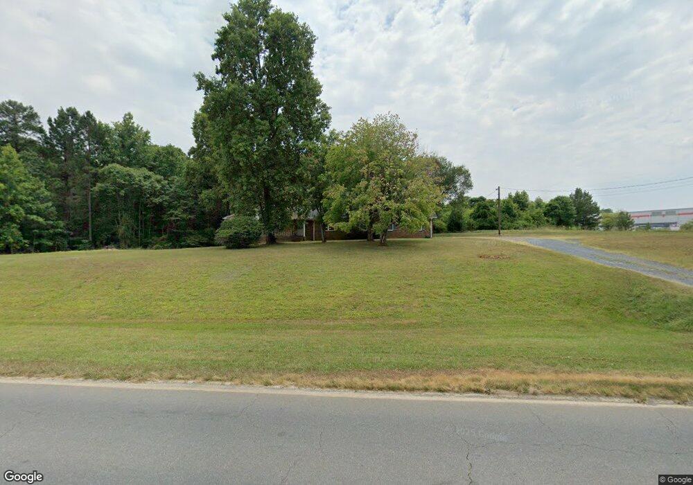
1017 Commonwealth Rd Randleman, NC 27317
Estimated Value: $252,000 - $447,000
Studio
--
Bath
2,052
Sq Ft
$168/Sq Ft
Est. Value
About This Home
This home is located at 1017 Commonwealth Rd, Randleman, NC 27317 and is currently estimated at $343,983, approximately $167 per square foot. 1017 Commonwealth Rd is a home with nearby schools including New Market Elementary School, Randleman Middle School, and Randleman High School.
Ownership History
Date
Name
Owned For
Owner Type
Purchase Details
Closed on
Jan 22, 2024
Sold by
Old Union United Methodist Church
Bought by
Old Union Church Inc
Current Estimated Value
Purchase Details
Closed on
Nov 30, 2023
Sold by
Western North Carolina Conference United
Bought by
Old Union Church Inc
Purchase Details
Closed on
May 15, 2018
Sold by
Worthville United Methodist Church
Bought by
Old Union United Methodist Church
Create a Home Valuation Report for This Property
The Home Valuation Report is an in-depth analysis detailing your home's value as well as a comparison with similar homes in the area
Home Values in the Area
Average Home Value in this Area
Purchase History
| Date | Buyer | Sale Price | Title Company |
|---|---|---|---|
| Old Union Church Inc | -- | None Listed On Document | |
| Old Union Church Inc | -- | None Listed On Document | |
| Old Union United Methodist Church | $81,000 | None Available |
Source: Public Records
Tax History
| Year | Tax Paid | Tax Assessment Tax Assessment Total Assessment is a certain percentage of the fair market value that is determined by local assessors to be the total taxable value of land and additions on the property. | Land | Improvement |
|---|---|---|---|---|
| 2025 | $119 | $233,050 | $55,530 | $177,520 |
| 2024 | $119 | $233,050 | $55,530 | $177,520 |
| 2023 | $0 | $233,050 | $55,530 | $177,520 |
| 2022 | $0 | $165,390 | $35,460 | $129,930 |
| 2021 | $0 | $165,390 | $35,460 | $129,930 |
| 2020 | $0 | $165,390 | $35,460 | $129,930 |
| 2019 | $0 | $165,390 | $35,460 | $129,930 |
| 2018 | $0 | $158,860 | $32,740 | $126,120 |
| 2016 | $0 | $158,859 | $32,740 | $126,119 |
| 2015 | -- | $158,859 | $32,740 | $126,119 |
| 2014 | -- | $158,859 | $32,740 | $126,119 |
Source: Public Records
Map
Nearby Homes
- 9135 Route 220 Hwy
- 00 Tigers Den Rd
- 1279 Harrison Trail
- 00 Little Fox Rd
- 4253 Brown Loop
- 5191 Island Ford Rd
- 4858 Us Highway 311
- 607 W Academy St
- 410 High Point St
- 0 Booker T Womble Rd
- 00 Booker T Womble Rd
- 770 Hollingsworth Rd
- 00 Us Highway 311
- 4509 Randleman Lake Rd
- 0 Us Highway 311 Unit 1164260
- 332 E Naomi St
- 103 Crystal Creek
- 105 Weaver St
- 108 Weaver St
- 4 Bradsher Ct
- 1028 Commonwealth Rd
- 951 Commonwealth Rd
- 0 Old High Point
- tr 4 and 5 Old High Point
- 4658 Island Ford Rd
- 4701 Island Ford Rd
- 711 Hunters Ridge Rd
- 4677 Island Ford Rd
- 4755 Island Ford Rd
- 4711 Island Ford Rd
- 4549 Old High Point St
- 4615 Island Ford Rd
- 4540 Island Ford Rd
- 1217 Harrison Trail
- 1292 Harrison Trail
- 1294 Harrison Trail
- 1268 Harrison Trail
- 4510 Island Ford Rd
- 1333 Commonwealth Rd
- 5034 Island Ford Rd
Your Personal Tour Guide
Ask me questions while you tour the home.