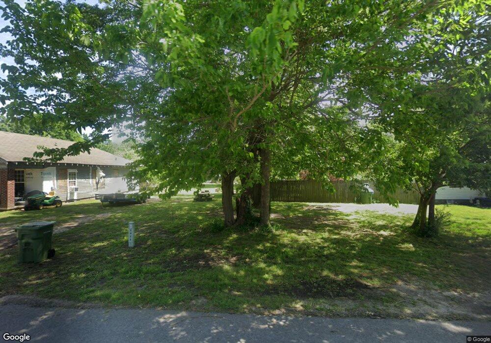
Estimated Value: $51,000 - $97,972
3
Beds
1
Bath
1,232
Sq Ft
$61/Sq Ft
Est. Value
About This Home
This home is located at 1017 Maple St, Hoxie, AR 72433 and is currently estimated at $75,324, approximately $61 per square foot. 1017 Maple St is a home located in Lawrence County with nearby schools including Hoxie Elementary School and Hoxie High School.
Ownership History
Date
Name
Owned For
Owner Type
Purchase Details
Closed on
Nov 7, 2014
Sold by
Parker Thomas Ira and Parker Kimla
Bought by
Newton Carolyn
Current Estimated Value
Purchase Details
Closed on
Jun 27, 2007
Sold by
Wells Fargo Bank Na
Bought by
Parker Thomas Ira and Parker Kimla Beth
Purchase Details
Closed on
Mar 21, 2007
Sold by
Nicholas Earl D and Nicholas Cheri D
Bought by
Wells Fargo Bank Na and Wilson & Associates P L L C
Purchase Details
Closed on
Mar 4, 2005
Sold by
Nicholas Earl D and Nicholas Cheri D
Bought by
Wells Fargo Bank Na
Purchase Details
Closed on
Mar 2, 2004
Bought by
Nicholas Earl D and Nicholas Cheri D
Purchase Details
Closed on
Aug 23, 2001
Bought by
Nicholas Earl D
Create a Home Valuation Report for This Property
The Home Valuation Report is an in-depth analysis detailing your home's value as well as a comparison with similar homes in the area
Home Values in the Area
Average Home Value in this Area
Purchase History
| Date | Buyer | Sale Price | Title Company |
|---|---|---|---|
| Newton Carolyn | $25,000 | None Available | |
| Parker Thomas Ira | $13,000 | None Availabel | |
| Wells Fargo Bank Na | -- | None Avelable | |
| Wells Fargo Bank Na | -- | None Available | |
| Nicholas Earl D | -- | -- | |
| Nicholas Earl D | -- | -- |
Source: Public Records
Tax History Compared to Growth
Tax History
| Year | Tax Paid | Tax Assessment Tax Assessment Total Assessment is a certain percentage of the fair market value that is determined by local assessors to be the total taxable value of land and additions on the property. | Land | Improvement |
|---|---|---|---|---|
| 2024 | $19 | $10,039 | $1,500 | $8,539 |
| 2023 | $19 | $10,039 | $1,500 | $8,539 |
| 2022 | $19 | $7,480 | $1,500 | $5,980 |
| 2021 | $19 | $7,480 | $1,500 | $5,980 |
| 2020 | $19 | $7,480 | $1,500 | $5,980 |
| 2019 | $19 | $7,480 | $1,500 | $5,980 |
| 2018 | $19 | $7,480 | $1,500 | $5,980 |
| 2017 | $0 | $6,320 | $1,500 | $4,820 |
| 2016 | -- | $6,320 | $1,500 | $4,820 |
| 2015 | -- | $6,320 | $1,500 | $4,820 |
| 2014 | $282 | $6,320 | $1,500 | $4,820 |
Source: Public Records
Map
Nearby Homes
- 1409 SW Broad St
- 1206 SE 3rd St
- 203 Cotter St
- 411 SW Lawrence St
- 405 SW Lawrence St
- 302 SW Broad St
- 301 SE 3rd St
- 1811 SE Front St
- 100 NW Randolph St
- 208 NE 2nd St
- 431 Affinity St
- 408 NE 3rd St
- 0 NE Jackson Ave
- 2504 SE 2nd St
- 1176 Midway Rd
- 1259 Midway Rd
- 716 Florida St
- 320 Kentucky St
- 21 Acres W Oak
- 21 Acres W Oak St
