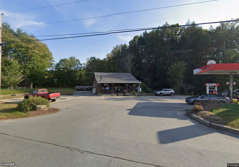
1017 Route 12 Unit 3 Westmoreland, NH 03467
Estimated Value: $1,114,667
--
Bed
--
Bath
9,118
Sq Ft
$122/Sq Ft
Est. Value
About This Home
This home is located at 1017 Route 12 Unit 3, Westmoreland, NH 03467 and is currently estimated at $1,114,667, approximately $122 per square foot. 1017 Route 12 Unit 3 is a home located in Cheshire County with nearby schools including Mayland Early College High School, Keene High School, and Pioneer Junior Academy.
Ownership History
Date
Name
Owned For
Owner Type
Purchase Details
Closed on
Oct 5, 2011
Sold by
Castor Carolyn J
Bought by
Westmoreland Rt
Current Estimated Value
Home Financials for this Owner
Home Financials are based on the most recent Mortgage that was taken out on this home.
Original Mortgage
$237,500
Outstanding Balance
$162,763
Interest Rate
4.2%
Mortgage Type
Commercial
Estimated Equity
$951,904
Create a Home Valuation Report for This Property
The Home Valuation Report is an in-depth analysis detailing your home's value as well as a comparison with similar homes in the area
Home Values in the Area
Average Home Value in this Area
Purchase History
| Date | Buyer | Sale Price | Title Company |
|---|---|---|---|
| Westmoreland Rt | $475,000 | -- |
Source: Public Records
Mortgage History
| Date | Status | Borrower | Loan Amount |
|---|---|---|---|
| Open | Westmoreland Rt | $237,500 | |
| Closed | Westmoreland Rt | $166,250 | |
| Closed | Westmoreland Rt | $173,000 | |
| Closed | Westmoreland Rt | $150,000 |
Source: Public Records
Tax History Compared to Growth
Tax History
| Year | Tax Paid | Tax Assessment Tax Assessment Total Assessment is a certain percentage of the fair market value that is determined by local assessors to be the total taxable value of land and additions on the property. | Land | Improvement |
|---|---|---|---|---|
| 2024 | $14,353 | $622,400 | $96,300 | $526,100 |
| 2023 | $12,378 | $581,400 | $96,300 | $485,100 |
| 2022 | $11,948 | $581,400 | $96,300 | $485,100 |
| 2021 | $11,861 | $581,400 | $96,300 | $485,100 |
| 2020 | $14,305 | $563,200 | $74,700 | $488,500 |
| 2019 | $15,474 | $576,300 | $74,700 | $501,600 |
| 2018 | $14,684 | $576,300 | $74,700 | $501,600 |
| 2017 | $17,035 | $681,400 | $74,700 | $606,700 |
| 2016 | $16,919 | $681,400 | $74,700 | $606,700 |
| 2015 | $16,067 | $736,700 | $77,900 | $658,800 |
| 2014 | $16,045 | $736,700 | $77,900 | $658,800 |
| 2012 | $15,566 | $736,700 | $77,900 | $658,800 |
Source: Public Records
Map
Nearby Homes
- 14 Hurricane Rd
- 000 S Village Rd Unit 13
- Rt Highway 12
- 0 Old Gilsum Rd Unit 5034729
- Lot 27-1 Old Walpole Rd
- 183 Wyman Rd
- 0 Rd Unit 5039440
- 31 Darling Ct
- 24 Village Rd
- 603 Route 12a
- 28 Village Rd
- 224 Darling Rd
- 184 Kennedy Dr
- 115 Liberty Ln
- 601 River Rd S
- 64 Old Walpole Rd
- 38 Stonehouse Ln Unit A
- 28 Stonehouse Ln
- 106 Pako Ave
- 00 S Pine Banks Rd
- 1017 Route 12
- 1013 Route 12
- 1013 Highway 12
- 0 Mt Gilboa Rd Unit 2727834
- 789 S Village Rd
- 1017 New Hampshire 12
- 1001 Route 12
- 1004 Route 12
- 997 Route 12
- 770 S Village Rd
- 3 Old Mill Brook Rd
- 995 Route 12
- 13 Mount Gilboa Rd
- 22 Mount Gilboa Rd
- 987 Route 12
- 758 S Village Rd
- 19 Mount Gilboa Rd
- 5 London Rd
- 994 Route 12
- 27 Mount Gilboa Rd