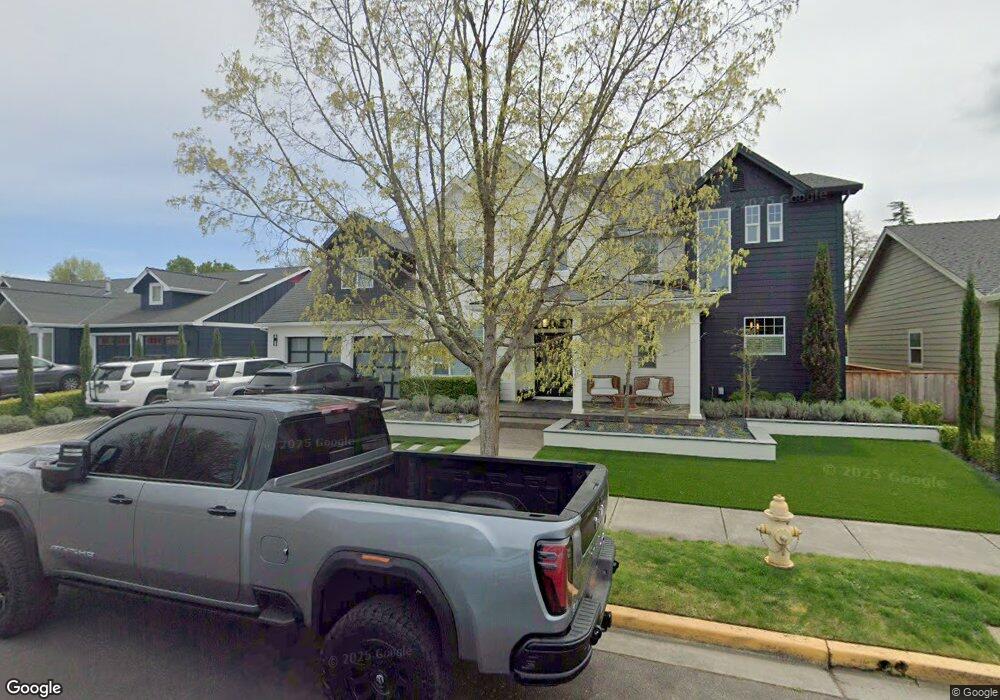
1017 Steamboat Dr Central Point, OR 97502
Estimated Value: $685,131 - $814,000
3
Beds
3
Baths
3,248
Sq Ft
$227/Sq Ft
Est. Value
About This Home
This home is located at 1017 Steamboat Dr, Central Point, OR 97502 and is currently estimated at $738,033, approximately $227 per square foot. 1017 Steamboat Dr is a home located in Jackson County with nearby schools including Richardson Elementary School, Scenic Middle School, and Crater High School.
Ownership History
Date
Name
Owned For
Owner Type
Purchase Details
Closed on
Jun 28, 2004
Sold by
Vision Homes Inc
Bought by
Bautista Jimmy O and Bautista Amber N
Current Estimated Value
Home Financials for this Owner
Home Financials are based on the most recent Mortgage that was taken out on this home.
Original Mortgage
$280,000
Outstanding Balance
$140,524
Interest Rate
6.29%
Mortgage Type
Credit Line Revolving
Estimated Equity
$597,509
Purchase Details
Closed on
Jun 25, 2004
Sold by
Twin Creeks Development Co Llc
Bought by
Vision Homes Inc
Home Financials for this Owner
Home Financials are based on the most recent Mortgage that was taken out on this home.
Original Mortgage
$280,000
Outstanding Balance
$140,524
Interest Rate
6.29%
Mortgage Type
Credit Line Revolving
Estimated Equity
$597,509
Create a Home Valuation Report for This Property
The Home Valuation Report is an in-depth analysis detailing your home's value as well as a comparison with similar homes in the area
Home Values in the Area
Average Home Value in this Area
Purchase History
| Date | Buyer | Sale Price | Title Company |
|---|---|---|---|
| Bautista Jimmy O | $350,000 | Amerititle | |
| Vision Homes Inc | $75,000 | Amerititle |
Source: Public Records
Mortgage History
| Date | Status | Borrower | Loan Amount |
|---|---|---|---|
| Open | Bautista Jimmy O | $280,000 |
Source: Public Records
Tax History Compared to Growth
Tax History
| Year | Tax Paid | Tax Assessment Tax Assessment Total Assessment is a certain percentage of the fair market value that is determined by local assessors to be the total taxable value of land and additions on the property. | Land | Improvement |
|---|---|---|---|---|
| 2025 | $6,348 | $381,820 | $95,720 | $286,100 |
| 2024 | $6,348 | $370,700 | $92,930 | $277,770 |
| 2023 | $6,144 | $359,910 | $90,230 | $269,680 |
| 2022 | $6,000 | $359,910 | $90,230 | $269,680 |
| 2021 | $5,186 | $372,930 | $87,610 | $285,320 |
| 2020 | $4,918 | $294,830 | $85,050 | $209,780 |
| 2019 | $4,797 | $277,920 | $80,160 | $197,760 |
| 2018 | $4,651 | $269,830 | $77,830 | $192,000 |
| 2017 | $4,534 | $269,830 | $77,830 | $192,000 |
| 2016 | $4,401 | $254,350 | $73,370 | $180,980 |
| 2015 | $4,217 | $254,350 | $73,370 | $180,980 |
| 2014 | $4,110 | $239,760 | $69,160 | $170,600 |
Source: Public Records
Map
Nearby Homes
- 1134 Steamboat Dr
- 1135 Shake Dr
- 407 Silver Creek Dr
- 626 Griffin Oaks Dr
- 1159 Rustler Peak St
- 526 Stone Pointe Dr
- 1167 Boulder Ridge St
- 1317 River Run St
- 629 Bridge Creek Dr
- 619 Palo Verde Way
- 420 Mayberry Ln
- 426 Bridge Creek Dr
- 905 Comet Ave
- 429 Mayberry Ln
- 327 Brookhaven Dr
- 4626 N Pacific Hwy
- 422 Castle Rock Dr
- 3642 Oak Pine Way
- 356 Marian Ave Unit 40
- 413 Sand Pointe Dr
- 1121 Steamboat Dr
- 1013 Steamboat Dr
- 2370 Tulane Ave
- 2380 Tulane Ave
- 1125 Steamboat Dr
- 1009 Steamboat Dr
- 1018 Steamboat Dr
- 2360 Tulane Ave
- 2390 Tulane Ave
- 1014 Steamboat Dr
- 1122 Steamboat Dr
- 1010 Steamboat Dr
- 1005 Steamboat Dr
- 1126 Steamboat Dr
- 1129 Steamboat Dr
- 2350 Tulane Ave
- 801 Rustler Peak St
- 1130 Steamboat Dr
- 2400 Tulane Ave
- 1019 Shake Dr