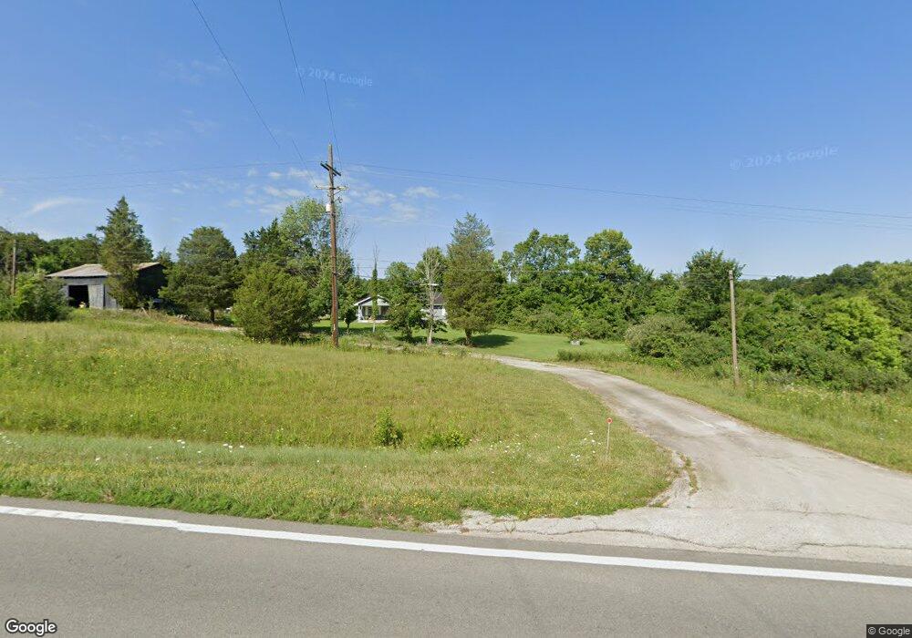
10173 State Route 247 West Union, OH 45693
Estimated Value: $317,000 - $511,572
3
Beds
2
Baths
1,568
Sq Ft
$264/Sq Ft
Est. Value
About This Home
This home is located at 10173 State Route 247, West Union, OH 45693 and is currently estimated at $414,286, approximately $264 per square foot. 10173 State Route 247 is a home located in Adams County with nearby schools including West Union Elementary School, West Union High School, and Adams County Christian School.
Ownership History
Date
Name
Owned For
Owner Type
Purchase Details
Closed on
Jan 10, 1995
Bought by
Mccoy Jack
Current Estimated Value
Create a Home Valuation Report for This Property
The Home Valuation Report is an in-depth analysis detailing your home's value as well as a comparison with similar homes in the area
Home Values in the Area
Average Home Value in this Area
Purchase History
| Date | Buyer | Sale Price | Title Company |
|---|---|---|---|
| Mccoy Jack | $153,000 | -- |
Source: Public Records
Tax History Compared to Growth
Tax History
| Year | Tax Paid | Tax Assessment Tax Assessment Total Assessment is a certain percentage of the fair market value that is determined by local assessors to be the total taxable value of land and additions on the property. | Land | Improvement |
|---|---|---|---|---|
| 2024 | $1,820 | $146,020 | $111,510 | $34,510 |
| 2023 | $1,825 | $146,020 | $111,510 | $34,510 |
| 2022 | $1,818 | $117,250 | $87,010 | $30,240 |
| 2021 | $1,721 | $117,250 | $87,010 | $30,240 |
| 2020 | $1,760 | $117,250 | $87,010 | $30,240 |
| 2019 | $1,760 | $117,250 | $87,010 | $30,240 |
| 2018 | $2,055 | $101,960 | $75,670 | $26,290 |
| 2017 | $2,021 | $101,960 | $75,670 | $26,290 |
| 2016 | $2,017 | $101,960 | $75,670 | $26,290 |
| 2015 | $2,011 | $97,550 | $69,860 | $27,690 |
| 2014 | $2,012 | $97,550 | $69,860 | $27,690 |
Source: Public Records
Map
Nearby Homes
- 3287 Chapparal Rd
- 86 Hawk Hill Rd
- 0 State Route 41 Unit 1830107
- 4400 Chapparal Rd
- 3 Chapparal Rd
- 2 Chapparal Rd
- 1 Chapparal Rd
- 4 Chapparal Rd
- 125 Robinette Rd
- 3460 Logans Ln
- 917 Logans Ln
- 80 Madonna Dr
- 93 Jose Dr
- 13465 State Route 41
- 292 Larry Baynum Rd
- 260 Randy St
- 216 Kurt St
- 120 Randy St
- 108 Chirsdon Ln
- 831 Tom Brown Rd
- 10320 State Route 247
- 10170 Ohio 247
- 10166 State Route 247
- 10166 State Route 247
- 10373 State Route 247
- 0 Unity Rd
- 0 Unity Rd Unit 1830780
- 0 Unity Rd Unit 689282
- 0 Unity Rd Unit 686918
- 0 Unity Rd Unit 686908
- 10166 Sr 247
- 60 Rollingwoods Dr
- 276 Unity Rd
- 203 Rollingwoods Dr
- 40 Rollingwoods Dr
- 1 Rollingwoods Dr
- 392 Rollingwoods Dr
- 310 Laurel Rd
- 10550 State Route 247
- 9697 State Route 247