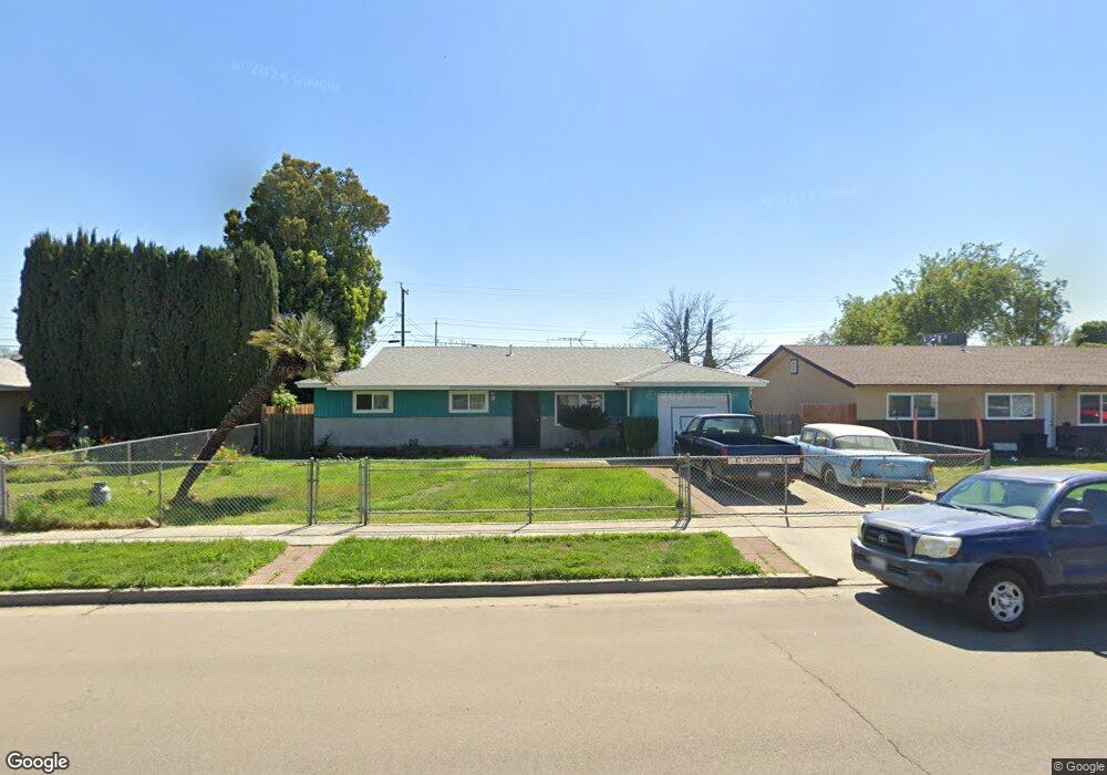
10179 Heath St Hanford, CA 93230
Estimated Value: $262,373 - $297,000
3
Beds
2
Baths
1,152
Sq Ft
$237/Sq Ft
Est. Value
About This Home
This home is located at 10179 Heath St, Hanford, CA 93230 and is currently estimated at $273,343, approximately $237 per square foot. 10179 Heath St is a home located in Kings County with nearby schools including Lakeside Elementary School, Hanford High School, and New Testament Baptist School.
Create a Home Valuation Report for This Property
The Home Valuation Report is an in-depth analysis detailing your home's value as well as a comparison with similar homes in the area
Home Values in the Area
Average Home Value in this Area
Tax History Compared to Growth
Tax History
| Year | Tax Paid | Tax Assessment Tax Assessment Total Assessment is a certain percentage of the fair market value that is determined by local assessors to be the total taxable value of land and additions on the property. | Land | Improvement |
|---|---|---|---|---|
| 2025 | $438 | $49,312 | $8,409 | $40,903 |
| 2023 | $438 | $47,399 | $8,084 | $39,315 |
| 2022 | $419 | $46,471 | $7,926 | $38,545 |
| 2021 | $409 | $45,561 | $7,771 | $37,790 |
| 2020 | $408 | $45,094 | $7,691 | $37,403 |
| 2019 | $403 | $44,210 | $7,540 | $36,670 |
| 2018 | $394 | $43,343 | $7,392 | $35,951 |
| 2017 | $384 | $42,493 | $7,247 | $35,246 |
| 2016 | $414 | $41,660 | $7,105 | $34,555 |
| 2015 | $409 | $41,034 | $6,998 | $34,036 |
| 2014 | $404 | $40,230 | $6,861 | $33,369 |
Source: Public Records
Map
Nearby Homes
- 11880 1st Place
- 11544 S 10th Ave
- 1936 S Red Rock Dr
- 1823 W Sunset Ln
- 10050 Camino Ramon
- 59 BR Samuel St
- 3948 13 1 4 Ave
- 53 BR Billingsley St
- 80 BR Samuel St
- 55 BR Billingsley St
- 82 BR Samuel St
- 0 Iona Ave Unit 235981
- 58 BR Samuel St
- 8886 Lilly Way
- 0 Unit MC25191909
- 79 BR Samuel St
- 56 BR Samuel St
- 81 BR Samuel St
- 83 BR Samuel St
- 54 BR Billingsley St