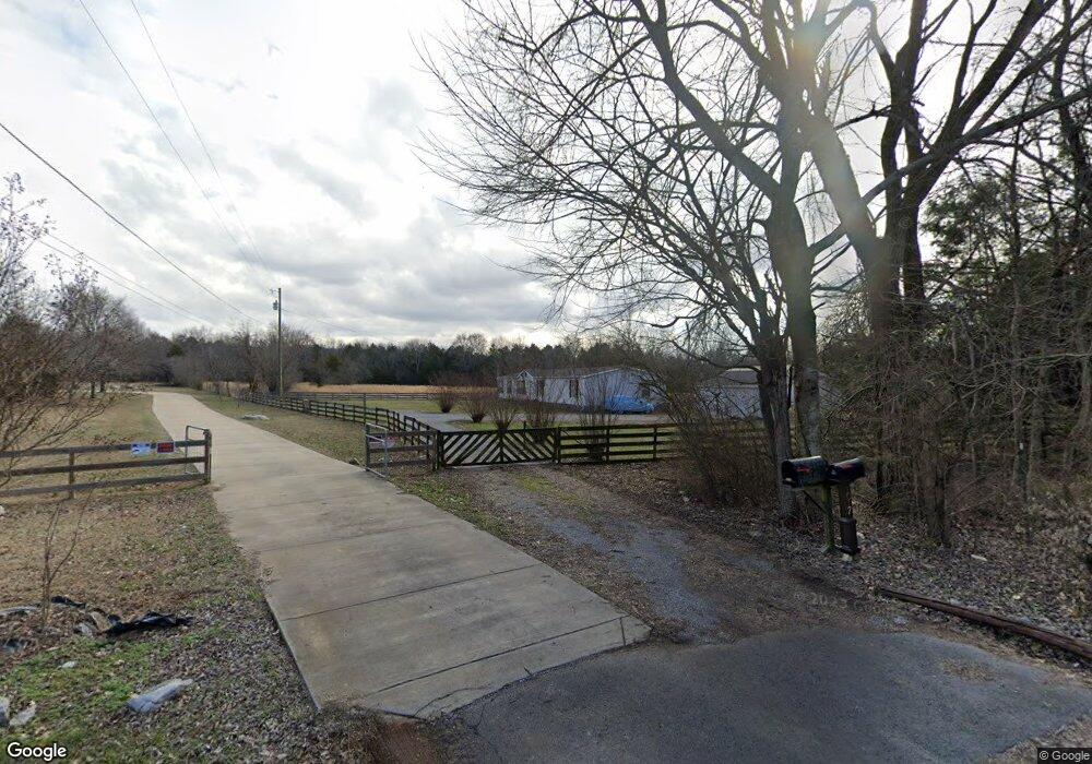
1018 Ashwood Dr Mount Juliet, TN 37122
Estimated Value: $398,000 - $474,000
--
Bed
--
Bath
--
Sq Ft
5.2
Acres
About This Home
This home is located at 1018 Ashwood Dr, Mount Juliet, TN 37122 and is currently estimated at $437,057. 1018 Ashwood Dr is a home with nearby schools including John Colemon Elementary School, Smyrna Middle School, and Smyrna High School.
Ownership History
Date
Name
Owned For
Owner Type
Purchase Details
Closed on
Dec 29, 2004
Sold by
Stone John N
Bought by
Stone John W
Current Estimated Value
Purchase Details
Closed on
Sep 14, 2004
Sold by
Ann Thomas Delores
Bought by
Stone John N
Home Financials for this Owner
Home Financials are based on the most recent Mortgage that was taken out on this home.
Original Mortgage
$110,000
Interest Rate
6.01%
Purchase Details
Closed on
Dec 8, 1997
Sold by
Thomas Morris J
Bought by
Thomas Delores A
Purchase Details
Closed on
Sep 2, 1994
Sold by
Rayman John R
Bought by
Thomas Morris J
Create a Home Valuation Report for This Property
The Home Valuation Report is an in-depth analysis detailing your home's value as well as a comparison with similar homes in the area
Home Values in the Area
Average Home Value in this Area
Purchase History
| Date | Buyer | Sale Price | Title Company |
|---|---|---|---|
| Stone John W | -- | -- | |
| Stone John N | $49,900 | -- | |
| Thomas Delores A | -- | -- | |
| Thomas Morris J | -- | -- |
Source: Public Records
Mortgage History
| Date | Status | Borrower | Loan Amount |
|---|---|---|---|
| Previous Owner | Thomas Morris J | $110,000 |
Source: Public Records
Tax History Compared to Growth
Tax History
| Year | Tax Paid | Tax Assessment Tax Assessment Total Assessment is a certain percentage of the fair market value that is determined by local assessors to be the total taxable value of land and additions on the property. | Land | Improvement |
|---|---|---|---|---|
| 2025 | -- | $64,725 | $31,175 | $33,550 |
| 2024 | -- | $64,725 | $31,175 | $33,550 |
| 2023 | $1,214 | $64,725 | $31,175 | $33,550 |
| 2022 | $1,046 | $64,725 | $31,175 | $33,550 |
| 2021 | $724 | $32,600 | $17,100 | $15,500 |
| 2020 | $724 | $32,600 | $17,100 | $15,500 |
| 2019 | $724 | $32,600 | $17,100 | $15,500 |
Source: Public Records
Map
Nearby Homes
- 3875 Rockdale Fellowship Rd
- 4084 N Lamar Rd
- 4558 Weakley Ln
- 1985 Couchville Pike
- 2560 Couchville Pike
- 1100 Weakley Ln
- 108 Austin Ave
- 124 Laural Hill Dr
- 326 Lynnwood Blvd
- 316 Lynnwood Blvd
- 314 Lynnwood Blvd
- 318 Lynnwood Blvd
- 301 Blackland Dr
- 2000 Tee Time Trace
- 618 Club View Way
- 614 Club View Way
- 2001 Tee Time Trace
- 608 Club View Way
- 603 Club View Way
- 106 W Cassa Way
- 1014 Ashwood Dr
- 1013 Ashwood Dr
- 1012 Ashwood Dr
- 1011 Ashwood Dr
- 1010 Ashwood Dr
- 1017 Ashwood Dr
- 1009 Ashwood Dr
- 3062 Rockdale Fellowship Rd
- 1008 Ashwood Dr
- 1007 Ashwood Dr
- 1006 Ashwood Dr
- 1005 Ashwood Dr
- 3420 Rockdale Fellowship Rd
- 1004 Ashwood Dr
- 3346 Rockdale Fellowship Rd
- 1003 Ashwood Dr
- 3450 Rockdale Fellowship Rd
- 3015 N Lamar Rd
- 3308 Rockdale Fellowship Rd
- 1002 Ashwood Dr