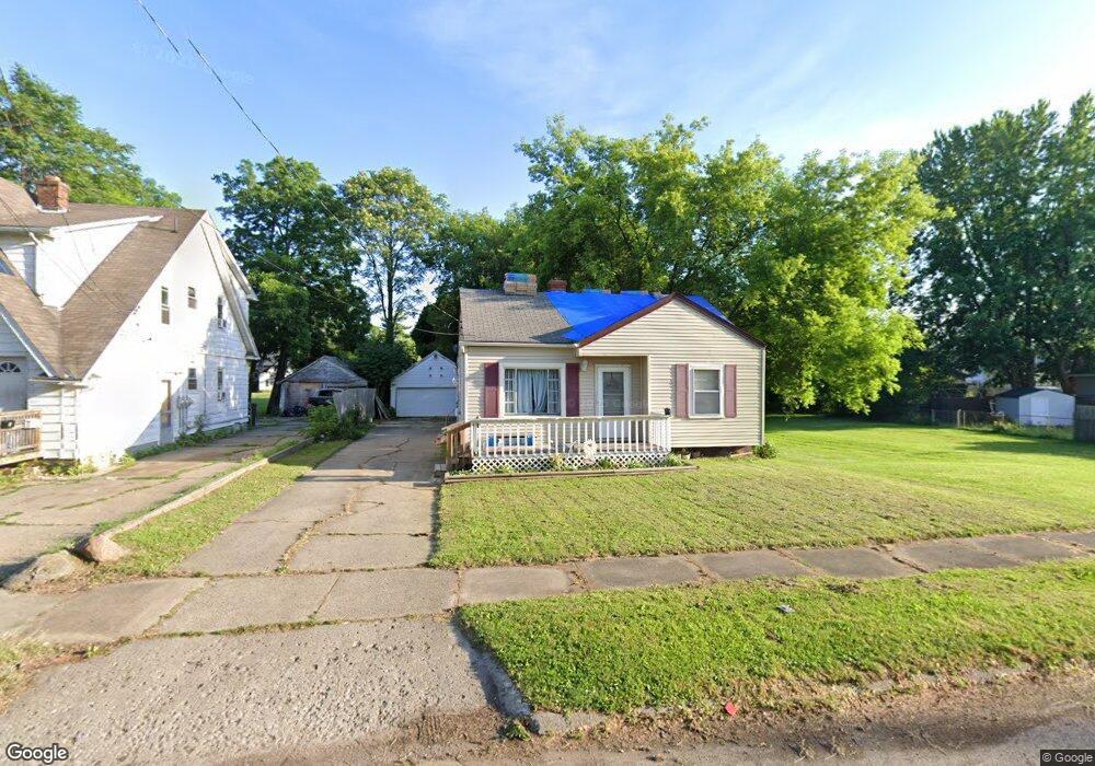
1018 Barlow Ave Flint, MI 48507
South Side NeighborhoodEstimated Value: $38,000 - $57,000
2
Beds
1
Bath
763
Sq Ft
$65/Sq Ft
Est. Value
About This Home
This home is located at 1018 Barlow Ave, Flint, MI 48507 and is currently estimated at $49,338, approximately $64 per square foot. 1018 Barlow Ave is a home with nearby schools including Eisenhower School, Flint Southwestern Classical Academy, and International Academy of Flint (K-12).
Ownership History
Date
Name
Owned For
Owner Type
Purchase Details
Closed on
Oct 31, 2019
Sold by
Dudley Jeraldine L and Dudley Thomas E
Bought by
Lynn Delores A
Current Estimated Value
Purchase Details
Closed on
Sep 9, 2016
Sold by
Dudley Jeraldine L and Dudley Thomas E
Bought by
Lynn Delores A
Purchase Details
Closed on
Apr 24, 2008
Sold by
Burgess Howard R and Burgess Gertrude E
Bought by
Dudley Thomas E and Dudley Jeraldine L
Create a Home Valuation Report for This Property
The Home Valuation Report is an in-depth analysis detailing your home's value as well as a comparison with similar homes in the area
Home Values in the Area
Average Home Value in this Area
Purchase History
| Date | Buyer | Sale Price | Title Company |
|---|---|---|---|
| Lynn Delores A | $12,000 | Cislo Title Co | |
| Lynn Delores A | -- | Cislo Title Co | |
| Dudley Thomas E | $26,900 | None Available |
Source: Public Records
Tax History Compared to Growth
Tax History
| Year | Tax Paid | Tax Assessment Tax Assessment Total Assessment is a certain percentage of the fair market value that is determined by local assessors to be the total taxable value of land and additions on the property. | Land | Improvement |
|---|---|---|---|---|
| 2025 | $656 | $13,000 | $0 | $0 |
| 2024 | $606 | $14,200 | $0 | $0 |
| 2023 | $602 | $12,600 | $0 | $0 |
| 2022 | $0 | $11,800 | $0 | $0 |
| 2021 | $618 | $8,900 | $0 | $0 |
| 2020 | $569 | $7,600 | $0 | $0 |
| 2019 | $562 | $6,800 | $0 | $0 |
| 2018 | $907 | $6,100 | $0 | $0 |
| 2017 | $602 | $0 | $0 | $0 |
| 2016 | $691 | $0 | $0 | $0 |
| 2015 | -- | $0 | $0 | $0 |
| 2014 | -- | $0 | $0 | $0 |
| 2012 | -- | $9,200 | $0 | $0 |
Source: Public Records
Map
Nearby Homes
- 2021 Brooks St
- 1708 Fenton Rd
- 943 Paddington Ave
- 942 Remington Ave
- 930 Bloor Ave
- 842 Ossington Ave
- 812 Remington Ave
- 843 Ossington Ave
- 908 Barrie Ave
- 909 Barrie Ave
- 839 Barrie Ave
- 647 Monroe St
- 839 SiMcOe Ave
- 639 Monroe St
- 734 Barrie Ave
- 517 Morley Ave
- 741 Barrie Ave
- 1511 Tacoma St
- 1517 Tacoma St
- 2314 S Grand Traverse St
- 1022 Barlow Ave
- 2112 Fenton Rd
- 2108 Fenton Rd
- 2206 Fenton Rd
- 1015 Barlow Ave
- 1030 Barlow Ave
- 1026 Barlow Ave
- 1025 W 12th St
- 2104 Fenton Rd
- 1034 Barlow Ave
- 2113 Brooks St
- 1029 W 12th St
- 1021 Barlow Ave
- 2018 Fenton Rd
- 2207 Fenton Rd
- 2205 Fenton Rd
- 2014 Fenton Rd
- 2119 Fenton Rd
- 2122 Brooks St
- 2105 Fenton Rd