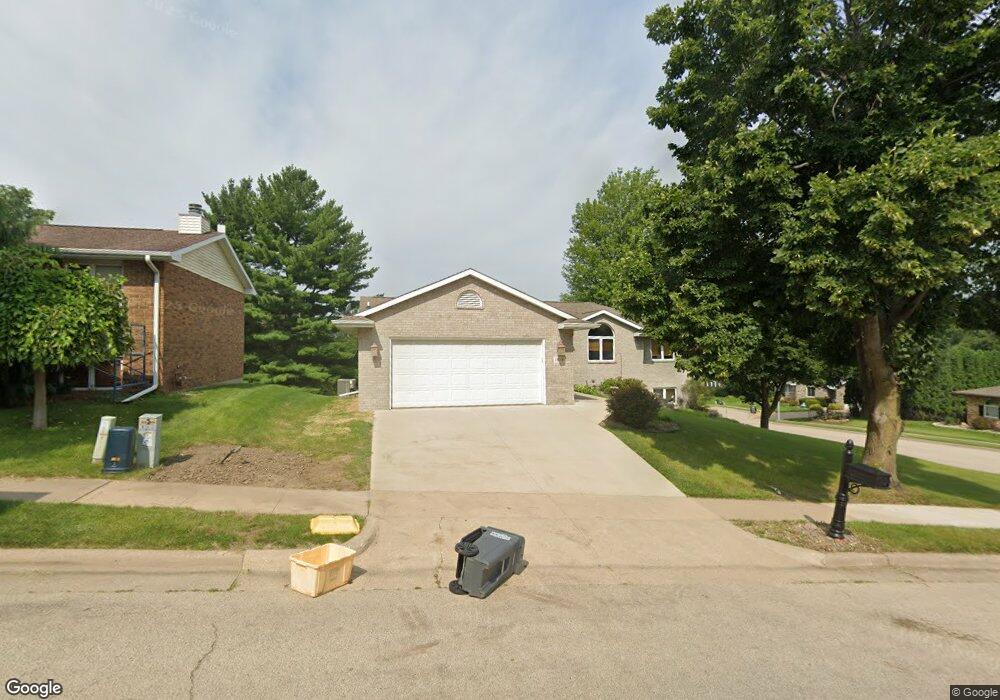
1018 Dunham Dr Dubuque, IA 52001
Estimated Value: $325,963 - $398,000
4
Beds
4
Baths
1,746
Sq Ft
$207/Sq Ft
Est. Value
About This Home
This home is located at 1018 Dunham Dr, Dubuque, IA 52001 and is currently estimated at $361,491, approximately $207 per square foot. 1018 Dunham Dr is a home located in Dubuque County with nearby schools including Irving Elementary School, George Washington Middle School, and Dubuque Senior High School.
Ownership History
Date
Name
Owned For
Owner Type
Purchase Details
Closed on
Jun 25, 2007
Sold by
American Trust & Savings Bank
Bought by
Kohl Donald W and Kohl Cherly A
Current Estimated Value
Home Financials for this Owner
Home Financials are based on the most recent Mortgage that was taken out on this home.
Original Mortgage
$168,000
Outstanding Balance
$103,187
Interest Rate
6.26%
Mortgage Type
New Conventional
Estimated Equity
$258,304
Create a Home Valuation Report for This Property
The Home Valuation Report is an in-depth analysis detailing your home's value as well as a comparison with similar homes in the area
Purchase History
| Date | Buyer | Sale Price | Title Company |
|---|---|---|---|
| Kohl Donald W | $210,000 | None Available |
Source: Public Records
Mortgage History
| Date | Status | Borrower | Loan Amount |
|---|---|---|---|
| Open | Kohl Donald W | $168,000 |
Source: Public Records
Tax History
| Year | Tax Paid | Tax Assessment Tax Assessment Total Assessment is a certain percentage of the fair market value that is determined by local assessors to be the total taxable value of land and additions on the property. | Land | Improvement |
|---|---|---|---|---|
| 2025 | $4,376 | $325,000 | $44,900 | $280,100 |
| 2024 | $4,376 | $314,500 | $42,400 | $272,100 |
| 2023 | $4,244 | $314,500 | $42,400 | $272,100 |
| 2022 | $4,208 | $263,420 | $39,940 | $223,480 |
| 2021 | $4,208 | $263,420 | $39,940 | $223,480 |
| 2020 | $4,122 | $240,520 | $39,940 | $200,580 |
| 2019 | $4,114 | $240,520 | $39,940 | $200,580 |
| 2018 | $4,046 | $229,750 | $34,940 | $194,810 |
| 2017 | $3,958 | $229,750 | $34,940 | $194,810 |
| 2016 | $3,958 | $213,510 | $34,940 | $178,570 |
| 2015 | $3,874 | $213,510 | $34,940 | $178,570 |
| 2014 | $3,612 | $205,010 | $34,940 | $170,070 |
Source: Public Records
Map
Nearby Homes
- 847 Spires Dr
- 959 Clarke Dr
- 700 Kaufmann Ave
- 660 Kaufmann Ave
- 2540 Clarke Crest Dr
- 523 Kaufmann Ave
- 2744 Meadow Wood Dr
- 2249 Harold St
- 1240 Rosedale Ave
- 2815 Wildwood Ct
- 2641 Fulton St
- 1610 Kane St
- 2192 Fairway Dr
- 379 Kaufmann Ave
- 2742 Pleasant View Dr Unit 8
- 2690 Renaissance Unit 4 Dr
- 2990 Oak Crest Dr
- 340 Valeria St
- 337 Kaufmann Ave
- 57 Diagonal St
Your Personal Tour Guide
Ask me questions while you tour the home.