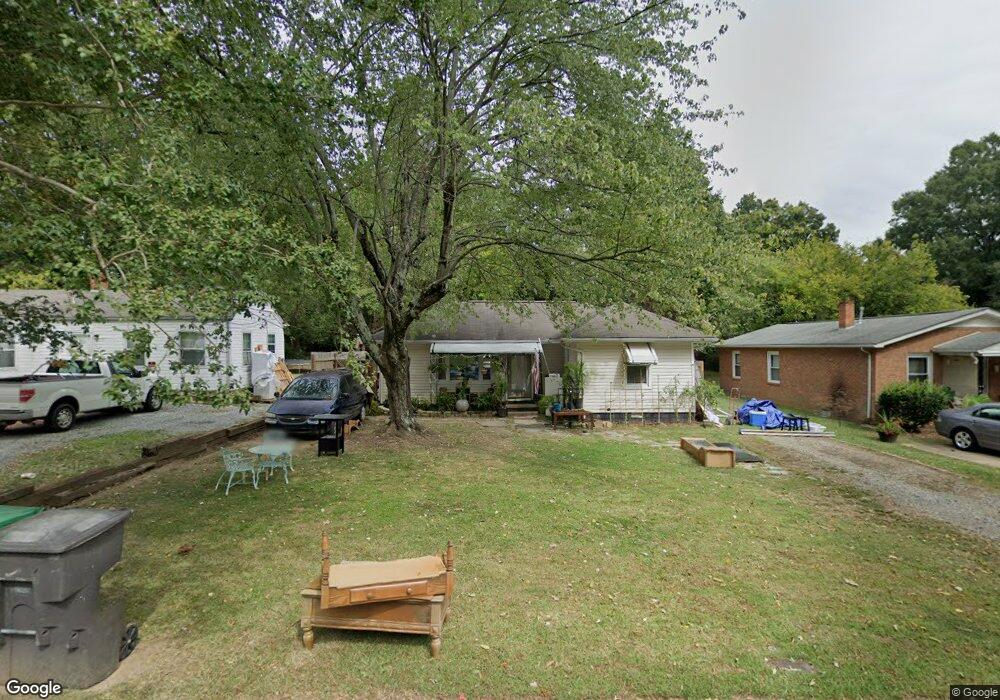
1018 Grant St High Point, NC 27262
Greater High Point NeighborhoodEstimated Value: $94,000 - $124,000
2
Beds
1
Bath
742
Sq Ft
$143/Sq Ft
Est. Value
About This Home
This home is located at 1018 Grant St, High Point, NC 27262 and is currently estimated at $106,214, approximately $143 per square foot. 1018 Grant St is a home located in Guilford County with nearby schools including Kirkman Park Elementary School, Penn-Griffin School for the Arts, and T.W. Andrews High School.
Ownership History
Date
Name
Owned For
Owner Type
Purchase Details
Closed on
Dec 29, 2014
Sold by
Dehart Everett L and Dehart Sheila P
Bought by
Dehart Everett L
Current Estimated Value
Purchase Details
Closed on
Mar 16, 2007
Sold by
Spainhour Alan W and Spainhour Rachel M
Bought by
Dehart Everett L and Dehart Sheila P
Home Financials for this Owner
Home Financials are based on the most recent Mortgage that was taken out on this home.
Original Mortgage
$37,490
Outstanding Balance
$3,682
Interest Rate
6.22%
Mortgage Type
Seller Take Back
Estimated Equity
$102,532
Create a Home Valuation Report for This Property
The Home Valuation Report is an in-depth analysis detailing your home's value as well as a comparison with similar homes in the area
Home Values in the Area
Average Home Value in this Area
Purchase History
| Date | Buyer | Sale Price | Title Company |
|---|---|---|---|
| Dehart Everett L | -- | Chicago Title Insurance Co | |
| Dehart Everett L | $37,500 | None Available |
Source: Public Records
Mortgage History
| Date | Status | Borrower | Loan Amount |
|---|---|---|---|
| Open | Dehart Everett L | $37,490 |
Source: Public Records
Tax History
| Year | Tax Paid | Tax Assessment Tax Assessment Total Assessment is a certain percentage of the fair market value that is determined by local assessors to be the total taxable value of land and additions on the property. | Land | Improvement |
|---|---|---|---|---|
| 2025 | $430 | $31,200 | $10,000 | $21,200 |
| 2024 | $430 | $31,200 | $10,000 | $21,200 |
| 2023 | $430 | $31,200 | $10,000 | $21,200 |
| 2022 | $421 | $31,200 | $10,000 | $21,200 |
| 2021 | $331 | $24,000 | $5,000 | $19,000 |
| 2020 | $331 | $24,000 | $5,000 | $19,000 |
| 2019 | $331 | $24,000 | $0 | $0 |
| 2018 | $329 | $24,000 | $0 | $0 |
| 2017 | $804 | $24,000 | $0 | $0 |
| 2016 | $426 | $30,400 | $0 | $0 |
| 2015 | $429 | $30,400 | $0 | $0 |
| 2014 | $436 | $30,400 | $0 | $0 |
Source: Public Records
Map
Nearby Homes
- 910 E Dayton Ave
- 1108 Forrest St
- 1110 Forrest St
- 721 Forrest St
- 719 Forrest St
- 1428 Futrelle Dr
- 1310 Madison St
- 613 Woodridge Ln
- 509 Woodrow Ave
- 1129 Bridges Dr
- 1433 Larkin St
- 304 Louise Ave
- 1602 Larkin St
- 1507 Larkin St
- 1518 Johnson St
- 1714 N Hamilton St Unit B
- 1700 N Hamilton St Unit F
- 1740 N Hamilton St Unit H
- 1740 N Hamilton St Unit G
- 1825 Johnson St Unit B
- 1016 Grant St
- 1020 Grant St
- 1014 Grant St
- 726 Bridges Dr
- 809 Magnolia Ct
- 728 Bridges Dr
- 1012 Grant St
- 1025 Grant St
- 811 Magnolia Ct
- 804 E Lexington Ave
- 806 E Lexington Ave
- 808 E Lexington Ave
- 1010 Grant St
- 800 E Lexington Ave
- 1013 Grant St
- 813 Magnolia Ct
- 725 Bridges Dr
- 812 E Lexington Ave
- 814 Magnolia Ct
- 727 Bridges Dr
Your Personal Tour Guide
Ask me questions while you tour the home.