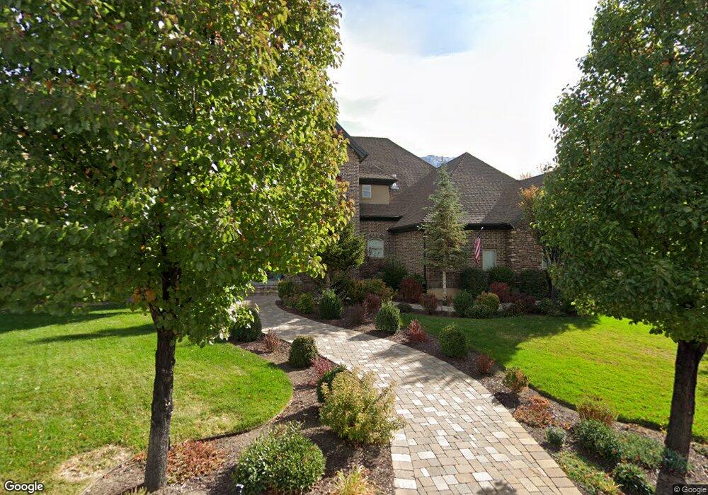
1018 N 1560 E Orem, UT 84097
Old Orchard NeighborhoodEstimated Value: $1,674,000 - $2,076,003
4
Beds
5
Baths
8,227
Sq Ft
$228/Sq Ft
Est. Value
About This Home
This home is located at 1018 N 1560 E, Orem, UT 84097 and is currently estimated at $1,875,002, approximately $227 per square foot. 1018 N 1560 E is a home located in Utah County with nearby schools including Foothill Elementary School, Canyon View Junior High School, and Orem High School.
Ownership History
Date
Name
Owned For
Owner Type
Purchase Details
Closed on
Aug 27, 2015
Sold by
Landgrave Kenneth and Landgrave Diane
Bought by
Landgrave Kenneth R and Landgrave Diane J
Current Estimated Value
Purchase Details
Closed on
Dec 23, 2009
Sold by
Barnes Banking Company
Bought by
Landgrave Kenneth and Landgrave Diane
Home Financials for this Owner
Home Financials are based on the most recent Mortgage that was taken out on this home.
Original Mortgage
$417,000
Outstanding Balance
$271,712
Interest Rate
4.88%
Mortgage Type
New Conventional
Estimated Equity
$1,603,290
Purchase Details
Closed on
Oct 21, 2008
Sold by
Hallows Jared N
Bought by
Barnes Banking Co
Purchase Details
Closed on
Aug 11, 2005
Sold by
Haugen Randy and Haugen Valorie
Bought by
Anderson Michael S and Anderson Stacey
Create a Home Valuation Report for This Property
The Home Valuation Report is an in-depth analysis detailing your home's value as well as a comparison with similar homes in the area
Home Values in the Area
Average Home Value in this Area
Purchase History
| Date | Buyer | Sale Price | Title Company |
|---|---|---|---|
| Landgrave Kenneth R | -- | None Available | |
| Landgrave Kenneth | -- | First American Layton | |
| Barnes Banking Co | -- | Inwest Title Ogden | |
| Anderson Michael S | -- | Signature Title Insurance A |
Source: Public Records
Mortgage History
| Date | Status | Borrower | Loan Amount |
|---|---|---|---|
| Open | Landgrave Kenneth | $417,000 |
Source: Public Records
Tax History
| Year | Tax Paid | Tax Assessment Tax Assessment Total Assessment is a certain percentage of the fair market value that is determined by local assessors to be the total taxable value of land and additions on the property. | Land | Improvement |
|---|---|---|---|---|
| 2025 | $7,982 | $1,070,960 | -- | -- |
| 2024 | $7,982 | $975,975 | $0 | $0 |
| 2023 | $7,012 | $921,580 | $0 | $0 |
| 2022 | $7,265 | $924,990 | $0 | $0 |
| 2021 | $7,183 | $1,385,200 | $405,500 | $979,700 |
| 2020 | $6,851 | $1,298,400 | $337,900 | $960,500 |
| 2019 | $6,036 | $1,189,600 | $337,900 | $851,700 |
| 2018 | $5,909 | $1,112,700 | $322,200 | $790,500 |
| 2017 | $5,504 | $555,280 | $0 | $0 |
| 2016 | $5,667 | $527,175 | $0 | $0 |
| 2015 | $5,432 | $477,840 | $0 | $0 |
| 2014 | $4,794 | $419,815 | $0 | $0 |
Source: Public Records
Map
Nearby Homes
- 566 N Bella Vista Dr
- 551 N 900 E
- 1324 N 750 E Unit 3
- 1356 N 750 E Unit 11
- 5005 N Edgewood Dr Unit 310
- 1366 N 750 E
- 747 E 1500 N Unit 13
- 710 E 1280 N
- 733 E 1450 N Unit 5
- 713 E 1500 St N Unit 19
- 713 E 1450 N Unit 23
- 1643 N Mountain Oaks Dr
- 976 N 560 E
- 723 E 1450 N Unit 25
- 80 N 1200 E
- 221 E 4735 N
- 453 N 650 E
- 285 Three Fountains Dr
- 471 E 700 N
- 181 N 800 E
- 1018 N 1560 E Unit 62
- 1034 N 1560 E Unit 61
- 1125 N 1560 E Unit 44
- 1015 N 1560 E
- 1015 N 1560 E Unit 59
- 1031 N 1560 E
- 997 N 1560 E
- 1542 E 1060 N
- 1030 N 1510 E
- 1030 N 1510 E Unit 55
- 996 N 1520 E
- 1526 E 1060 N
- 968 N 1530 E
- 1006 N 1520 E
- 1541 E 1060 N
- 982 N 1520 E
- 1029 N 1510 E
- 1525 E 1060 N
- 960 N 1530 E
- 1488 E 1060 N
Your Personal Tour Guide
Ask me questions while you tour the home.