1018 S Shasta Ave Eagle Point, OR 97524
Estimated Value: $425,000 - $581,045
3
Beds
3
Baths
2,650
Sq Ft
$193/Sq Ft
Est. Value
About This Home
This home is located at 1018 S Shasta Ave, Eagle Point, OR 97524 and is currently estimated at $512,011, approximately $193 per square foot. 1018 S Shasta Ave is a home located in Jackson County with nearby schools including Eagle Point Middle School, White Mountain Middle School, and Eagle Point High School.
Ownership History
Date
Name
Owned For
Owner Type
Purchase Details
Closed on
Feb 9, 2010
Sold by
Deutsche Bank National Trust Company
Bought by
Myers David C and Wagner Michael J
Current Estimated Value
Home Financials for this Owner
Home Financials are based on the most recent Mortgage that was taken out on this home.
Original Mortgage
$194,413
Outstanding Balance
$131,657
Interest Rate
5.5%
Mortgage Type
FHA
Estimated Equity
$380,354
Purchase Details
Closed on
Nov 3, 2009
Sold by
Nutting Royce D
Bought by
Deutsche Bank National Trust Company
Purchase Details
Closed on
Feb 8, 2006
Sold by
Harper Karen E
Bought by
Nutting Royce D
Home Financials for this Owner
Home Financials are based on the most recent Mortgage that was taken out on this home.
Original Mortgage
$298,800
Interest Rate
8.72%
Mortgage Type
Fannie Mae Freddie Mac
Create a Home Valuation Report for This Property
The Home Valuation Report is an in-depth analysis detailing your home's value as well as a comparison with similar homes in the area
Home Values in the Area
Average Home Value in this Area
Purchase History
| Date | Buyer | Sale Price | Title Company |
|---|---|---|---|
| Myers David C | $198,000 | Fa | |
| Deutsche Bank National Trust Company | $185,725 | Fa | |
| Nutting Royce D | -- | Amerititle |
Source: Public Records
Mortgage History
| Date | Status | Borrower | Loan Amount |
|---|---|---|---|
| Open | Myers David C | $194,413 | |
| Previous Owner | Nutting Royce D | $298,800 |
Source: Public Records
Tax History Compared to Growth
Tax History
| Year | Tax Paid | Tax Assessment Tax Assessment Total Assessment is a certain percentage of the fair market value that is determined by local assessors to be the total taxable value of land and additions on the property. | Land | Improvement |
|---|---|---|---|---|
| 2025 | $4,927 | $360,080 | $140,940 | $219,140 |
| 2024 | $4,927 | $349,600 | $136,830 | $212,770 |
| 2023 | $4,760 | $339,420 | $132,840 | $206,580 |
| 2022 | $4,630 | $339,420 | $132,840 | $206,580 |
| 2021 | $4,493 | $329,540 | $128,980 | $200,560 |
| 2020 | $4,773 | $319,950 | $125,220 | $194,730 |
| 2019 | $4,700 | $301,600 | $118,030 | $183,570 |
| 2018 | $4,611 | $292,820 | $114,590 | $178,230 |
| 2017 | $4,498 | $292,820 | $114,590 | $178,230 |
| 2016 | $4,325 | $276,020 | $108,010 | $168,010 |
| 2015 | $3,721 | $238,750 | $70,320 | $168,430 |
| 2014 | $3,642 | $237,380 | $68,290 | $169,090 |
Source: Public Records
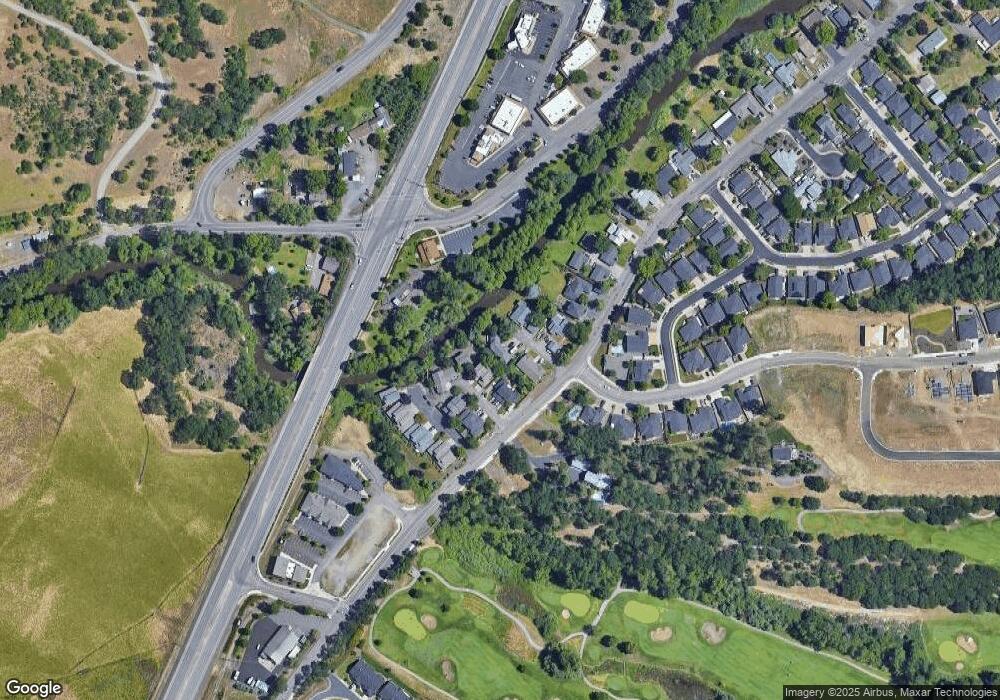
Map
Nearby Homes
- 1065 S Shasta Ave
- 91 Morning Dove Trail
- 10569 Hannon Rd
- 113 Skyhawk Dr
- 804 S Shasta Ave
- 51 Broken Stone Way
- 225 Morning Dove Trail
- 179 Skyhawk Dr
- 108 Oak Point Dr
- 470 Old Highway 62 Unit 2
- 0 Sf Little Butte Unit 220204792
- 429 Arrowhead Trail
- 135 Princeville Dr
- 118 Pebble Creek Dr
- 650 Sarah Ln
- 247 Lorraine Ave
- 416 S Royal Ave
- 828 St Andrews Way
- 888 Arrowhead Trail
- 315 S Buchanan Ave
- 1012 S Shasta 1014 Ave
- 1012 S Shasta Ave
- 1056 S Shasta Ave
- 1024 S Shasta Ave
- 1042 S Shasta Ave
- 1076 S Shasta Ave
- 1006 S Shasta Ave
- 1006 S Shasta Ave Unit 1006/1008
- 1086 S Shasta Ave
- 994 S Shasta Ave
- 996 S Shasta Ave Unit 996
- 1084 S Shasta Ave
- 1096 S Shasta Ave
- 1098 S Shasta Ave
- 988 S Shasta Ave
- 232 Arrowhead Trail
- 1146 S Shasta Ave
- 1152 S Shasta Ave
- 1158 S Shasta Ave
- 1140 S Shasta Ave