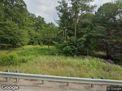
1018 State Route 271 Ligonier, PA 15658
Fairfield Township NeighborhoodEstimated Value: $59,716 - $331,000
--
Bed
--
Bath
1,296
Sq Ft
$148/Sq Ft
Est. Value
About This Home
This home is located at 1018 State Route 271, Ligonier, PA 15658 and is currently estimated at $192,429, approximately $148 per square foot. 1018 State Route 271 is a home located in Westmoreland County with nearby schools including R.K. Mellon Elementary School, Ligonier Valley Middle School, and Ligonier Valley High School.
Ownership History
Date
Name
Owned For
Owner Type
Purchase Details
Closed on
Jun 1, 2004
Sold by
Pelesky Craig S and Pelesky Denise S
Bought by
Pelesky Timothy J
Current Estimated Value
Create a Home Valuation Report for This Property
The Home Valuation Report is an in-depth analysis detailing your home's value as well as a comparison with similar homes in the area
Home Values in the Area
Average Home Value in this Area
Purchase History
| Date | Buyer | Sale Price | Title Company |
|---|---|---|---|
| Pelesky Timothy J | -- | -- |
Source: Public Records
Mortgage History
| Date | Status | Borrower | Loan Amount |
|---|---|---|---|
| Closed | Pelesky Timothy J | $76,000 | |
| Closed | Pelesky Timothy J | $63,700 | |
| Closed | Pelesky Timothy J | $30,000 | |
| Closed | Pelesky Timothy J | $10,000 | |
| Closed | Pelesky Timothy J | $44,600 | |
| Closed | Pelesky Timothy J | $43,654 |
Source: Public Records
Tax History Compared to Growth
Tax History
| Year | Tax Paid | Tax Assessment Tax Assessment Total Assessment is a certain percentage of the fair market value that is determined by local assessors to be the total taxable value of land and additions on the property. | Land | Improvement |
|---|---|---|---|---|
| 2025 | $1,666 | $13,940 | $1,010 | $12,930 |
| 2024 | $1,666 | $13,940 | $1,010 | $12,930 |
| 2023 | $1,568 | $13,940 | $1,010 | $12,930 |
| 2022 | $1,568 | $13,940 | $1,010 | $12,930 |
| 2021 | $1,568 | $13,940 | $1,010 | $12,930 |
| 2020 | $1,538 | $13,940 | $1,010 | $12,930 |
| 2019 | $1,505 | $13,940 | $1,010 | $12,930 |
| 2018 | $1,465 | $13,940 | $1,010 | $12,930 |
| 2017 | $1,441 | $13,940 | $1,010 | $12,930 |
| 2016 | $1,416 | $13,940 | $1,010 | $12,930 |
| 2015 | $1,402 | $13,940 | $1,010 | $12,930 |
| 2014 | $1,381 | $13,940 | $1,010 | $12,930 |
Source: Public Records
Map
Nearby Homes
- 214 Mosshaven Way
- 324 Mill Rd
- 440 Owl Hollow Rd
- 736 Muir Rd
- 873 Nature Run Rd
- 513 Feather Ln
- 222 D Ln W
- 137 Mccreery Dr
- 114 Forelle Ln
- 328 Thatcher Rd
- LOT 32 Whitefield Way
- LOT 5 Settler Rd
- LOT 3 Settler Rd
- LOT 2 Settler Rd
- LOT 1 Settler Rd
- 773 Forever Ln
- 0 Iron Ore Ln Unit 1697950
- 0 Swank Road Nature Run Unit 1653023
- 312 Woodchuck Ln
- 342 Woodchuck Ln
- 1018 State Route 271
- 94 Middlebranch Dr
- 104 Middlebranch Dr
- 1036 State Route 271
- 1038 State Route 271
- 152 Middlebranch Dr
- 1213 State Route 271
- 972 State Route 271
- 964 State Route 271
- 962 N Route 271
- 962 State Route 271
- 960 State Route 271
- 960 State Route 271
- 103 Graceland Rd
- 119 Graceland Rd
- 950 State Route 271
- 953 State Route 271
- 946 State Route 271
- 910 Stratford Rd
- 906 Stratford Rd
