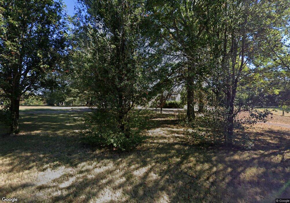
10184 Mcquiston Rd Brighton, TN 38011
Estimated Value: $282,000 - $318,000
3
Beds
2
Baths
1,596
Sq Ft
$187/Sq Ft
Est. Value
About This Home
This home is located at 10184 Mcquiston Rd, Brighton, TN 38011 and is currently estimated at $298,958, approximately $187 per square foot. 10184 Mcquiston Rd is a home located in Shelby County with nearby schools including Barrets Elementary School and Bolton High School.
Ownership History
Date
Name
Owned For
Owner Type
Purchase Details
Closed on
Oct 17, 2013
Sold by
Rogers Shannon and Owen Shannon R
Bought by
Owen Clint A
Current Estimated Value
Purchase Details
Closed on
Nov 29, 2005
Sold by
Palmer Brady
Bought by
Owen Clint A and Owen Shannon R
Home Financials for this Owner
Home Financials are based on the most recent Mortgage that was taken out on this home.
Original Mortgage
$140,000
Interest Rate
7.25%
Mortgage Type
Purchase Money Mortgage
Create a Home Valuation Report for This Property
The Home Valuation Report is an in-depth analysis detailing your home's value as well as a comparison with similar homes in the area
Home Values in the Area
Average Home Value in this Area
Purchase History
| Date | Buyer | Sale Price | Title Company |
|---|---|---|---|
| Owen Clint A | -- | None Available | |
| Owen Clint A | $175,000 | Chicago Title Insurance Comp |
Source: Public Records
Mortgage History
| Date | Status | Borrower | Loan Amount |
|---|---|---|---|
| Previous Owner | Owen Clint A | $140,000 | |
| Closed | Owen Clint A | $35,000 |
Source: Public Records
Tax History Compared to Growth
Tax History
| Year | Tax Paid | Tax Assessment Tax Assessment Total Assessment is a certain percentage of the fair market value that is determined by local assessors to be the total taxable value of land and additions on the property. | Land | Improvement |
|---|---|---|---|---|
| 2025 | $1,623 | $59,550 | $22,175 | $37,375 |
| 2024 | $1,623 | $47,875 | $15,475 | $32,400 |
| 2023 | $1,623 | $47,875 | $15,475 | $32,400 |
| 2022 | $1,623 | $47,875 | $15,475 | $32,400 |
| 2021 | $1,652 | $47,875 | $15,475 | $32,400 |
| 2020 | $1,696 | $41,875 | $14,175 | $27,700 |
| 2019 | $1,696 | $41,875 | $14,175 | $27,700 |
| 2018 | $1,696 | $41,875 | $14,175 | $27,700 |
| 2017 | $1,721 | $41,875 | $14,175 | $27,700 |
| 2016 | $1,714 | $39,225 | $0 | $0 |
| 2014 | $1,714 | $39,225 | $0 | $0 |
Source: Public Records
Map
Nearby Homes
- 828 Lyndsey Dr
- 7771 Hwy 14 Hwy S
- 7767 Hwy 14 Hwy S
- 9958 9958 Idaville Dr
- 62 Planters Grove Trail
- 29 Planters Grove Trail
- 360 Lyndsey Dr
- 143 Ashley Ln
- 80 Ashley Ln
- 914 Beaver Creek Rd
- 52 Salem Oaks Cove
- 52 Belks Cove
- 9511 Tracy Rd
- 637 Kimberly Dr
- 5387 Portersville Rd
- 262 Cheryl St
- 235 Kingston Ave
- 63 Kingston Ave
- 468 Dana St
- 0 Moose Rd Unit 10208328
- 10200 Mcquiston Rd
- 10132 Mcquiston Rd
- 10232 Mcquiston Rd
- 10152 Mcquiston Rd
- 10070 Mcquiston Rd
- 10260 Mcquiston Rd
- 10294 Mcquiston Rd
- 10040 Mcquiston Rd
- 10310 Mcquiston Rd
- 122 Duke Rd
- 10020 Mcquiston Rd
- 102 Duke Rd
- 00 Mcquiston Rd
- 10006 Mcquiston Rd
- 1169 Mcquiston Rd
- 1143 Mcquiston Rd
- 10000 Mcquiston Rd
- 143 Harmon Cove
- 9962 Mcquiston Rd
- 77 Harmon Cove
