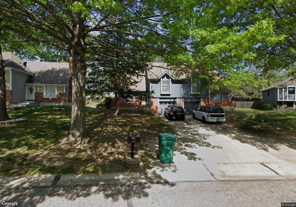
10186 Haskins St Lenexa, KS 66215
Oak Park NeighborhoodEstimated Value: $228,000 - $319,000
3
Beds
2
Baths
1,008
Sq Ft
$275/Sq Ft
Est. Value
About This Home
This home is located at 10186 Haskins St, Lenexa, KS 66215 and is currently estimated at $277,027, approximately $274 per square foot. 10186 Haskins St is a home located in Johnson County with nearby schools including Rosehill Elementary School, Indian Woods Middle School, and Shawnee Mission South High School.
Ownership History
Date
Name
Owned For
Owner Type
Purchase Details
Closed on
Mar 21, 2005
Sold by
West Richard H
Bought by
Mcnamara Julie K and Root Sheryl E
Current Estimated Value
Home Financials for this Owner
Home Financials are based on the most recent Mortgage that was taken out on this home.
Original Mortgage
$11,808
Interest Rate
5.41%
Mortgage Type
Stand Alone Second
Create a Home Valuation Report for This Property
The Home Valuation Report is an in-depth analysis detailing your home's value as well as a comparison with similar homes in the area
Home Values in the Area
Average Home Value in this Area
Purchase History
| Date | Buyer | Sale Price | Title Company |
|---|---|---|---|
| Mcnamara Julie K | -- | Chicago Title Insurnce Co |
Source: Public Records
Mortgage History
| Date | Status | Borrower | Loan Amount |
|---|---|---|---|
| Closed | Mcnamara Julie K | $11,808 | |
| Open | Mcnamara Julie K | $94,000 |
Source: Public Records
Tax History Compared to Growth
Tax History
| Year | Tax Paid | Tax Assessment Tax Assessment Total Assessment is a certain percentage of the fair market value that is determined by local assessors to be the total taxable value of land and additions on the property. | Land | Improvement |
|---|---|---|---|---|
| 2024 | $2,751 | $25,116 | $4,684 | $20,432 |
| 2023 | $2,698 | $23,920 | $4,460 | $19,460 |
| 2022 | $2,203 | $19,481 | $4,056 | $15,425 |
| 2021 | $2,334 | $19,423 | $3,683 | $15,740 |
| 2020 | $2,226 | $18,319 | $3,351 | $14,968 |
| 2019 | $2,217 | $18,239 | $2,793 | $15,446 |
| 2018 | $1,993 | $16,203 | $2,793 | $13,410 |
| 2017 | $1,924 | $15,146 | $2,537 | $12,609 |
| 2016 | $1,821 | $14,134 | $2,322 | $11,812 |
| 2015 | $1,786 | $13,961 | $2,322 | $11,639 |
| 2013 | -- | $13,064 | $2,322 | $10,742 |
Source: Public Records
Map
Nearby Homes
- 10184 Haskins St
- 13300 W 102nd St
- 13013 W 101st St
- 10211 Hauser St
- 10220 Gillette St
- 10226 Gillette St
- 10474 Caenen Lake Rd
- 9948 Rosehill Rd
- 10308 Westgate St
- 13401 W 105th Terrace
- 10331 Westgate St
- 10590 Bradshaw St
- 12207 W 101st Terrace
- 10107 Monrovia St
- 10223 Monrovia St
- 10580 Long St
- 10566 Century Ln
- 12808 W 108th St
- 12022 W 100th St
- 12400 W 105th Terrace
- 10188 Haskins St
- 10182 Haskins St
- 10190 Haskins St
- 10180 Haskins St
- 10192 Haskins St
- 10194 Haskins St
- 10193 Haskins St
- 10191 Haskins St
- 10176 Haskins St
- 10177 Haskins St
- 10196 Haskins St
- 10174 Haskins St
- 10175 Haskins St
- 13416 W 102nd St
- 10172 Haskins St
- 13414 W 102nd St
- 10173 Haskins St
- 13410 W 102nd St
- 10170 Haskins St
- 13408 W 102nd St