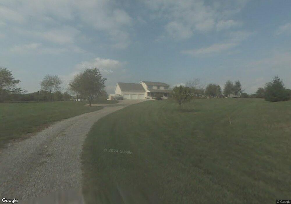
1019 Clinton Rd Chillicothe, OH 45601
Estimated Value: $376,000 - $426,000
3
Beds
3
Baths
2,240
Sq Ft
$175/Sq Ft
Est. Value
About This Home
This home is located at 1019 Clinton Rd, Chillicothe, OH 45601 and is currently estimated at $392,775, approximately $175 per square foot. 1019 Clinton Rd is a home located in Ross County with nearby schools including Unioto Elementary School, Unioto Middle School, and Unioto High School.
Ownership History
Date
Name
Owned For
Owner Type
Purchase Details
Closed on
Aug 22, 2016
Sold by
Sterling Thomas W and Sterling Annette M
Bought by
Sells Brock N and Sells Jennifer S
Current Estimated Value
Home Financials for this Owner
Home Financials are based on the most recent Mortgage that was taken out on this home.
Original Mortgage
$244,145
Outstanding Balance
$194,610
Interest Rate
3.45%
Mortgage Type
VA
Estimated Equity
$198,165
Create a Home Valuation Report for This Property
The Home Valuation Report is an in-depth analysis detailing your home's value as well as a comparison with similar homes in the area
Home Values in the Area
Average Home Value in this Area
Purchase History
| Date | Buyer | Sale Price | Title Company |
|---|---|---|---|
| Sells Brock N | $255,000 | Northwest Title |
Source: Public Records
Mortgage History
| Date | Status | Borrower | Loan Amount |
|---|---|---|---|
| Open | Sells Brock N | $244,145 |
Source: Public Records
Tax History Compared to Growth
Tax History
| Year | Tax Paid | Tax Assessment Tax Assessment Total Assessment is a certain percentage of the fair market value that is determined by local assessors to be the total taxable value of land and additions on the property. | Land | Improvement |
|---|---|---|---|---|
| 2024 | $3,439 | $99,650 | $7,790 | $91,860 |
| 2023 | $3,439 | $99,650 | $7,790 | $91,860 |
| 2022 | $3,515 | $99,650 | $7,790 | $91,860 |
| 2021 | $2,899 | $76,870 | $7,590 | $69,280 |
| 2020 | $2,915 | $76,870 | $7,590 | $69,280 |
| 2019 | $2,915 | $76,870 | $7,590 | $69,280 |
| 2018 | $3,114 | $80,410 | $13,590 | $66,820 |
| 2017 | $3,118 | $79,960 | $13,590 | $66,370 |
| 2016 | $3,022 | $79,960 | $13,590 | $66,370 |
| 2015 | $3,000 | $78,670 | $13,590 | $65,080 |
| 2014 | $2,928 | $78,670 | $13,590 | $65,080 |
| 2013 | $2,942 | $78,670 | $13,590 | $65,080 |
Source: Public Records
Map
Nearby Homes
- 1036 Clinton Rd
- 12690 Pleasant Valley Rd
- 18 Sarah Ct
- 13223 Pleasant Valley Rd
- 265 Brookside Dr
- 2153 Egypt Pike
- 2083 Anderson Station Rd
- 45 Custer Dr
- 25 Woodland Way
- 365 Golfview Dr
- 11303 County Road 550
- 313 Goodale Dr
- 88 Fruit Hill Dr
- 310 Almahurst Dr
- 14996 Pleasant Valley Rd Unit Lot 60
- 14996 Pleasant Valley Rd Unit Lot 70
- 14996 Pleasant Valley Rd Unit Lot 53
- 320 Summerhill Dr
- 54 Moccasin Dr
- 23 Shawnee Dr
- 1017 Clinton Rd
- 1015 Clinton Rd
- 1011 Clinton Rd
- 1011 Clinton Rd
- 1011 Clinton Rd
- 1045 Clinton Rd
- 98 Wright St
- 901 Clinton Rd
- 970 Clinton Rd
- 81 Wright St
- 69 Wright St
- 246 Brown Ave
- 261 Indian Springs Rd
- 261 Indian Springs Rd
- 1016 Clinton Rd
- 269 Brown Ave
- 269 Brown Ave
- 59 Rich St
- 41 Wallace Dr
- 1128 Clinton Rd