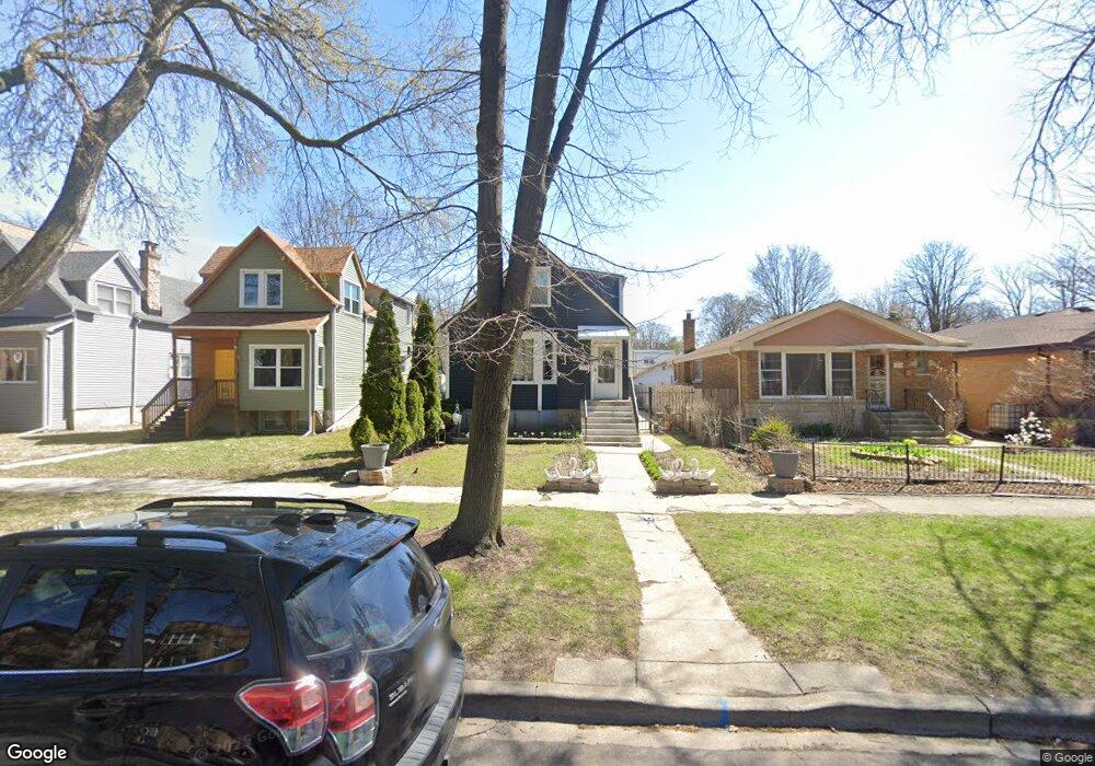
1019 Darrow Ave Evanston, IL 60202
Crown Park NeighborhoodEstimated Value: $442,000 - $570,000
4
Beds
2
Baths
1,347
Sq Ft
$371/Sq Ft
Est. Value
About This Home
This home is located at 1019 Darrow Ave, Evanston, IL 60202 and is currently estimated at $500,309, approximately $371 per square foot. 1019 Darrow Ave is a home located in Cook County with nearby schools including Nichols Middle School, Evanston Township High School, and Pope John XXIII School.
Ownership History
Date
Name
Owned For
Owner Type
Purchase Details
Closed on
Dec 20, 1995
Sold by
Salazar Jovita B and Salazar Julian B
Bought by
Cardenas Petronilo and Cardenas Ignacio
Current Estimated Value
Home Financials for this Owner
Home Financials are based on the most recent Mortgage that was taken out on this home.
Original Mortgage
$137,750
Interest Rate
7.41%
Create a Home Valuation Report for This Property
The Home Valuation Report is an in-depth analysis detailing your home's value as well as a comparison with similar homes in the area
Home Values in the Area
Average Home Value in this Area
Purchase History
| Date | Buyer | Sale Price | Title Company |
|---|---|---|---|
| Cardenas Petronilo | $145,000 | -- |
Source: Public Records
Mortgage History
| Date | Status | Borrower | Loan Amount |
|---|---|---|---|
| Closed | Cardenas Petronilo | $137,750 |
Source: Public Records
Tax History Compared to Growth
Tax History
| Year | Tax Paid | Tax Assessment Tax Assessment Total Assessment is a certain percentage of the fair market value that is determined by local assessors to be the total taxable value of land and additions on the property. | Land | Improvement |
|---|---|---|---|---|
| 2025 | $9,489 | $47,000 | $11,214 | $35,786 |
| 2024 | $9,489 | $42,000 | $9,389 | $32,611 |
| 2023 | $9,078 | $42,000 | $9,389 | $32,611 |
| 2022 | $9,078 | $42,000 | $9,389 | $32,611 |
| 2021 | $8,462 | $34,793 | $6,259 | $28,534 |
| 2020 | $8,407 | $34,793 | $6,259 | $28,534 |
| 2019 | $8,383 | $38,745 | $6,259 | $32,486 |
| 2018 | $7,726 | $31,267 | $5,216 | $26,051 |
| 2017 | $7,540 | $31,267 | $5,216 | $26,051 |
| 2016 | $8,078 | $34,011 | $5,216 | $28,795 |
| 2015 | $6,352 | $25,982 | $4,303 | $21,679 |
| 2014 | $6,306 | $25,982 | $4,303 | $21,679 |
| 2013 | $6,145 | $25,982 | $4,303 | $21,679 |
Source: Public Records
Map
Nearby Homes
- 1037 Dodge Ave
- 1908 Lee St
- 1133 Dodge Ave
- 1213 Darrow Ave
- 1216 Darrow Ave
- 1025 Wesley Ave
- 1323 Washington St
- 1515 Monroe St Unit A
- 704 Florence Ave
- 1126 Pitner Ave
- 2011 Cleveland St
- 2321 Lee St
- 1408 Brown Ave
- 1232 Ridge Ave
- 604 Dodge Ave
- 835 Ridge Ave Unit 507
- 1811 South Blvd
- 2124 Seward St
- SAN JUAN GRANDE La Cascabela
- 1316 Maple Ave Unit D3
- 1017 Darrow Ave
- 1021 Darrow Ave
- 1013 Darrow Ave
- 1023 Darrow Ave
- 1027 Darrow Ave
- 1029 Darrow Ave
- 1723 Lee St
- 1725 Lee St
- 1719 Lee St
- 1727 Lee St
- 1033 Darrow Ave
- 1022 Dewey Ave
- 1034 Dewey Ave
- 1018 Darrow Ave Unit 2
- 1018 Darrow Ave
- 1016 Darrow Ave
- 1016 Darrow Ave Unit 2
- 1037 Darrow Ave
- 1008 Dewey Ave
- 1008 Dewey Ave Unit 2