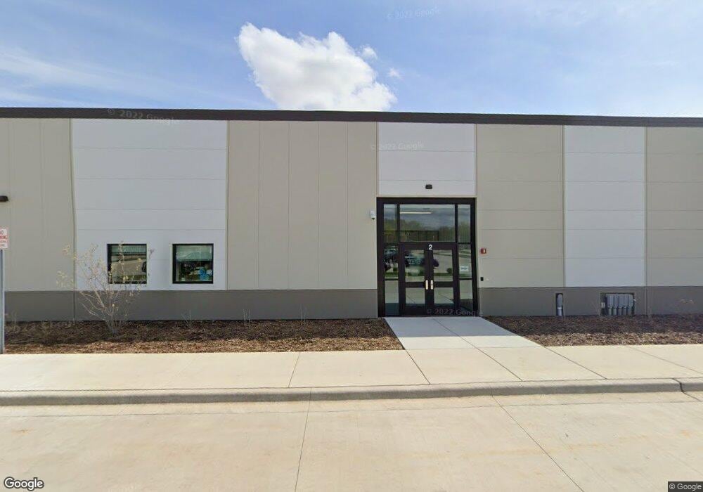
1019 E Chicago St Elgin, IL 60120
Bluff City NeighborhoodEstimated Value: $6,745,281
Studio
--
Bath
--
Sq Ft
304,920
Sq Ft
About This Home
This home is located at 1019 E Chicago St, Elgin, IL 60120 and is currently estimated at $6,745,281. 1019 E Chicago St is a home located in Cook County with nearby schools including Hilltop Elementary School, Ellis Middle School, and Elgin High School.
Ownership History
Date
Name
Owned For
Owner Type
Purchase Details
Closed on
Jun 19, 2018
Sold by
Frayer David P and Frayer Kendal L
Bought by
Board Of Education Of School District U
Current Estimated Value
Purchase Details
Closed on
Jan 10, 2017
Sold by
Advocate Sherman Hospital
Bought by
Frayer David P and Revoc Kendal
Home Financials for this Owner
Home Financials are based on the most recent Mortgage that was taken out on this home.
Original Mortgage
$870,599
Interest Rate
4.5%
Mortgage Type
Future Advance Clause Open End Mortgage
Purchase Details
Closed on
Dec 12, 1995
Sold by
Parkway Bank & Trust Company
Bought by
Keesee James J and Rink Deborah M
Home Financials for this Owner
Home Financials are based on the most recent Mortgage that was taken out on this home.
Original Mortgage
$94,450
Interest Rate
7.41%
Mortgage Type
FHA
Create a Home Valuation Report for This Property
The Home Valuation Report is an in-depth analysis detailing your home's value as well as a comparison with similar homes in the area
Home Values in the Area
Average Home Value in this Area
Purchase History
| Date | Buyer | Sale Price | Title Company |
|---|---|---|---|
| Board Of Education Of School District U | -- | Chicago Title | |
| Frayer David P | -- | Attorney | |
| Keesee James J | $98,500 | Land Title Group Inc |
Source: Public Records
Mortgage History
| Date | Status | Borrower | Loan Amount |
|---|---|---|---|
| Previous Owner | Frayer David P | $870,599 | |
| Previous Owner | Keesee James J | $94,450 |
Source: Public Records
Tax History
| Year | Tax Paid | Tax Assessment Tax Assessment Total Assessment is a certain percentage of the fair market value that is determined by local assessors to be the total taxable value of land and additions on the property. | Land | Improvement |
|---|---|---|---|---|
| 2025 | $119,010 | -- | -- | -- |
| 2024 | $119,010 | -- | -- | -- |
| 2023 | $119,010 | -- | -- | -- |
| 2022 | $119,010 | -- | -- | -- |
| 2021 | $119,010 | $0 | $0 | $0 |
| 2020 | $119,010 | $0 | $0 | $0 |
| 2019 | $0 | $0 | $0 | $0 |
| 2018 | $119,010 | $350,277 | $349,538 | $739 |
| 2017 | $118,637 | $350,277 | $349,538 | $739 |
| 2016 | $111,622 | $350,277 | $349,538 | $739 |
| 2015 | $614 | $1,748 | $1,009 | $739 |
| 2014 | $595 | $1,748 | $1,009 | $739 |
| 2013 | -- | $0 | $0 | $0 |
Source: Public Records
Map
Nearby Homes
- 330 Buckingham Cir Unit C
- 385 Woodview Cir Unit B
- 1002 Bruce Dr
- 445 Lucile Ave
- 149 Highbury Dr
- 833 Forest Ave
- 130 Stonehurst Dr
- 513 Cookane Ave
- 689 Bent St
- 1182 Concord Dr
- 335 Shiloh Ln
- 631 Bent St
- 457 Arlington Ave
- 899 Carl Ave
- 450 Villa St
- 1154 Pegwood Dr
- 483 Barrett St
- 115 N Porter St
- 332-334 St Charles St
- 1089 Quaker Hill Ct Unit 711
- 992 Langtry Ct Unit A
- 992 Langtry Ct Unit B
- 992 Langtry Ct Unit 28B12
- 992 Langtry Ct Unit 28B22
- 992 Langtry Ct Unit 28A12
- 992 Langtry Ct Unit 28A22
- 992 Langtry Ct Unit C
- 998 Langtry Ct Unit 27B11
- 998 Langtry Ct Unit 27B21
- 998 Langtry Ct Unit 27A11
- 998 Langtry Ct Unit 27A21
- 998 Langtry Ct Unit A
- 998 Langtry Ct Unit C
- 998 Langtry Ct Unit D
- 996 Langtry Ct Unit 27B12
- 996 Langtry Ct Unit 27A22
- 996 Langtry Ct Unit 27A12
- 996 Langtry Ct Unit 27B22
- 996 Langtry Ct Unit A
- 996 Langtry Ct Unit D
Your Personal Tour Guide
Ask me questions while you tour the home.