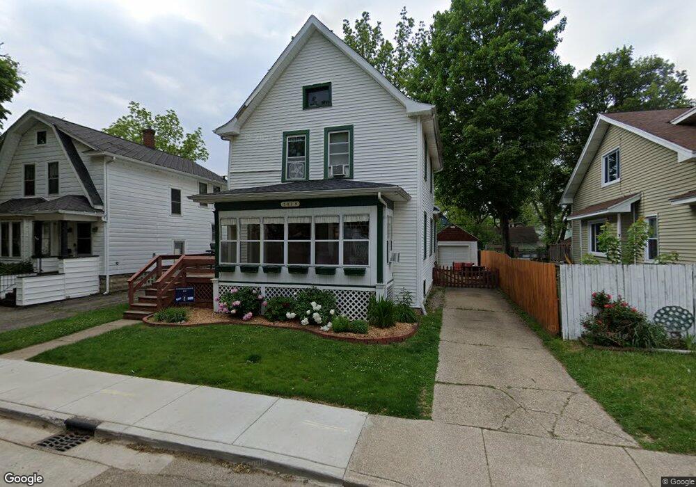
1019 Lay Blvd Kalamazoo, MI 49001
Edison NeighborhoodEstimated Value: $144,522 - $187,000
4
Beds
2
Baths
1,469
Sq Ft
$110/Sq Ft
Est. Value
About This Home
This home is located at 1019 Lay Blvd, Kalamazoo, MI 49001 and is currently estimated at $162,131, approximately $110 per square foot. 1019 Lay Blvd is a home located in Kalamazoo County with nearby schools including Washington Writers' Academy, Milwood Magnet School, and Loy Norrix High School.
Ownership History
Date
Name
Owned For
Owner Type
Purchase Details
Closed on
Dec 10, 2004
Sold by
Freeling Christine M and Freeling Michael D
Bought by
Sterenberg Adam J and Sterenberg Amy M
Current Estimated Value
Home Financials for this Owner
Home Financials are based on the most recent Mortgage that was taken out on this home.
Original Mortgage
$62,400
Interest Rate
5.8%
Mortgage Type
Purchase Money Mortgage
Create a Home Valuation Report for This Property
The Home Valuation Report is an in-depth analysis detailing your home's value as well as a comparison with similar homes in the area
Home Values in the Area
Average Home Value in this Area
Purchase History
| Date | Buyer | Sale Price | Title Company |
|---|---|---|---|
| Sterenberg Adam J | $78,000 | Devon |
Source: Public Records
Mortgage History
| Date | Status | Borrower | Loan Amount |
|---|---|---|---|
| Previous Owner | Sterenberg Adam J | $62,400 |
Source: Public Records
Tax History Compared to Growth
Tax History
| Year | Tax Paid | Tax Assessment Tax Assessment Total Assessment is a certain percentage of the fair market value that is determined by local assessors to be the total taxable value of land and additions on the property. | Land | Improvement |
|---|---|---|---|---|
| 2025 | $1,390 | $60,700 | $0 | $0 |
| 2024 | $776 | $48,400 | $0 | $0 |
| 2023 | $740 | $43,100 | $0 | $0 |
| 2022 | $1,261 | $36,600 | $0 | $0 |
| 2021 | $1,219 | $37,400 | $0 | $0 |
| 2020 | $1,194 | $33,500 | $0 | $0 |
| 2019 | $1,138 | $27,400 | $0 | $0 |
| 2018 | $1,111 | $23,600 | $0 | $0 |
| 2017 | $1,141 | $24,100 | $0 | $0 |
| 2016 | $1,141 | $23,700 | $0 | $0 |
| 2015 | $1,141 | $23,200 | $0 | $0 |
| 2014 | $1,141 | $21,400 | $0 | $0 |
Source: Public Records
Map
Nearby Homes
- 1118 Lane Blvd
- 1224 Lane Blvd
- 1118 E Alcott St
- 1028 Clinton Ave
- 915 Hays Park Ave
- 1939 March St
- 1424 Lay Blvd
- 1803 Portage St
- 1512 Race St
- 1002 Egleston Ave
- 1510 Palmer Ave
- 923 E Stockbridge Ave
- 117 E Stockbridge Ave
- 1517 Fair St
- 1820 Elgin St
- 1303 E Stockbridge Ave
- 1212 Washington Ave
- 916 Washington Ave
- 920 Washington Ave
- 910 Miller Rd