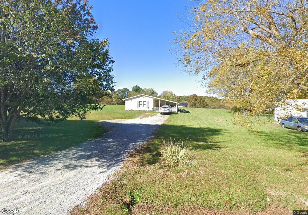
1019 Lincoln Rd Jamestown, TN 38556
Estimated Value: $119,000 - $173,000
Studio
1
Bath
1,096
Sq Ft
$139/Sq Ft
Est. Value
About This Home
This home is located at 1019 Lincoln Rd, Jamestown, TN 38556 and is currently estimated at $152,160, approximately $138 per square foot. 1019 Lincoln Rd is a home located in Fentress County with nearby schools including Cumberland Christian School.
Ownership History
Date
Name
Owned For
Owner Type
Purchase Details
Closed on
Sep 10, 2021
Sold by
Trimble Douglas M
Bought by
Frogge Penny L
Current Estimated Value
Home Financials for this Owner
Home Financials are based on the most recent Mortgage that was taken out on this home.
Original Mortgage
$79,797
Outstanding Balance
$72,340
Interest Rate
2.7%
Mortgage Type
New Conventional
Estimated Equity
$79,820
Purchase Details
Closed on
Sep 2, 2020
Sold by
Frogge Willie Serial
Bought by
Trimble Douglas M
Create a Home Valuation Report for This Property
The Home Valuation Report is an in-depth analysis detailing your home's value as well as a comparison with similar homes in the area
Home Values in the Area
Average Home Value in this Area
Purchase History
| Date | Buyer | Sale Price | Title Company |
|---|---|---|---|
| Frogge Penny L | $79,000 | Accommodation | |
| Trimble Douglas M | $73,150 | None Available |
Source: Public Records
Mortgage History
| Date | Status | Borrower | Loan Amount |
|---|---|---|---|
| Open | Frogge Penny L | $79,797 |
Source: Public Records
Tax History
| Year | Tax Paid | Tax Assessment Tax Assessment Total Assessment is a certain percentage of the fair market value that is determined by local assessors to be the total taxable value of land and additions on the property. | Land | Improvement |
|---|---|---|---|---|
| 2025 | $373 | $27,625 | $3,250 | $24,375 |
| 2024 | $373 | $27,625 | $3,250 | $24,375 |
| 2023 | $373 | $27,625 | $3,250 | $24,375 |
| 2022 | $281 | $14,725 | $1,875 | $12,850 |
| 2021 | $281 | $14,725 | $1,875 | $12,850 |
| 2020 | $281 | $14,725 | $1,875 | $12,850 |
| 2019 | $281 | $14,725 | $1,875 | $12,850 |
| 2018 | $281 | $14,725 | $1,875 | $12,850 |
| 2017 | $287 | $14,475 | $1,875 | $12,600 |
| 2016 | $287 | $14,475 | $1,875 | $12,600 |
| 2015 | $287 | $14,469 | $0 | $0 |
| 2014 | $287 | $14,469 | $0 | $0 |
Source: Public Records
Map
Nearby Homes
- 0 Allardt Hwy Unit 1316911
- 0 Allardt Hwy Unit 1319314
- 880 Allardt Hwy
- 822 Allardt Hwy
- 426 Rosedale Ave
- 328 Wheeler Ave
- 111 Summit Dr
- - Lake Shore Dr
- 428 Patton Heights Cir
- n/a Holt Spur Rd
- 435 Patton Heights Cir
- Lot 25 Key Ridge Ln
- 0 Ridge Top Dr Unit 11655632
- 150 Acre Prong of Clear Fork
- 0 Ridge Top Dr Unit 1329492
- 0 Ridge Top Dr Unit 242175
- 0 Ridge Top Dr Unit RTC3130960
- 403 Peach Ln
- 208 Bills St
- 318 Sadie St
- 1017 Lincoln Rd
- 1021 Lincoln Rd
- 128 County Rd
- 1022 Lincoln Rd
- 1018 Lincoln Rd
- 1024 Lincoln Rd
- 130 County Rd
- 1016 Lincoln Rd
- 1026 Lincoln Rd
- 132 County Rd
- 1012 Lincoln Rd
- 1028 Lincoln Rd
- 1011 Lincoln Rd
- 1027 Lincoln Rd
- 125 County Rd
- 172 County Rd
- 1030 Lincoln Rd
- 1029 Lincoln Rd
- 1008 Lincoln Rd
- 1034 Lincoln Rd
Your Personal Tour Guide
Ask me questions while you tour the home.