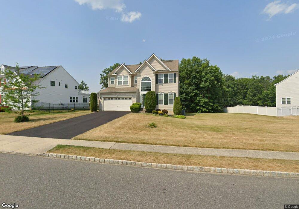
1019 Mannington Dr Williamstown, NJ 08094
Monroe NeighborhoodEstimated Value: $570,505 - $599,000
4
Beds
3
Baths
2,425
Sq Ft
$240/Sq Ft
Est. Value
About This Home
This home is located at 1019 Mannington Dr, Williamstown, NJ 08094 and is currently estimated at $582,126, approximately $240 per square foot. 1019 Mannington Dr is a home located in Gloucester County with nearby schools including Williamstown High School, St. Mary School, and Finest of the Wheat Christian.
Ownership History
Date
Name
Owned For
Owner Type
Purchase Details
Closed on
Oct 29, 2010
Sold by
Richmond American Homes Of Pennsylvania
Bought by
Wells Lavon and Chancy Zan
Current Estimated Value
Home Financials for this Owner
Home Financials are based on the most recent Mortgage that was taken out on this home.
Original Mortgage
$302,604
Outstanding Balance
$201,074
Interest Rate
4.41%
Mortgage Type
New Conventional
Estimated Equity
$381,052
Create a Home Valuation Report for This Property
The Home Valuation Report is an in-depth analysis detailing your home's value as well as a comparison with similar homes in the area
Home Values in the Area
Average Home Value in this Area
Purchase History
| Date | Buyer | Sale Price | Title Company |
|---|---|---|---|
| Wells Lavon | $318,531 | Title America Agency Corp |
Source: Public Records
Mortgage History
| Date | Status | Borrower | Loan Amount |
|---|---|---|---|
| Open | Wells Lavon | $302,604 |
Source: Public Records
Tax History
| Year | Tax Paid | Tax Assessment Tax Assessment Total Assessment is a certain percentage of the fair market value that is determined by local assessors to be the total taxable value of land and additions on the property. | Land | Improvement |
|---|---|---|---|---|
| 2025 | $10,631 | $290,300 | $64,200 | $226,100 |
| 2024 | $10,552 | $290,300 | $64,200 | $226,100 |
| 2023 | $10,552 | $290,300 | $64,200 | $226,100 |
| 2022 | $10,503 | $290,300 | $64,200 | $226,100 |
| 2021 | $10,570 | $290,300 | $64,200 | $226,100 |
| 2020 | $11,024 | $290,300 | $64,200 | $226,100 |
| 2019 | $10,957 | $303,100 | $64,200 | $238,900 |
| 2018 | $10,778 | $303,100 | $64,200 | $238,900 |
| 2017 | $10,158 | $286,800 | $79,000 | $207,800 |
| 2016 | $10,029 | $286,800 | $79,000 | $207,800 |
| 2015 | $9,743 | $286,800 | $79,000 | $207,800 |
| 2014 | $9,459 | $286,800 | $79,000 | $207,800 |
Source: Public Records
Map
Nearby Homes
- 308 Staunton Ct
- 1261 Clayton Rd
- 1241 Clayton Rd
- 1053 Clayton Rd
- 960 Butler Dr
- 34 Morgan Dr
- 14 Stanger Ct
- 25 Matthews St
- 741 N Tuckahoe Rd
- 101 Raymar Dr
- 123 Deschler Blvd
- 236 S Tuckahoe Rd
- 298 S Tuckahoe Rd
- 613 Cedar Ave
- 830 N Tuckahoe Rd
- 0 Corbin Ave
- 1705 Rockcrest Ct
- 2019 Clayton Williamstown Rd
- 100 Stage Coach Rd
- 1241 Whispering Woods Dr
- 1023 Mannington Dr
- 1015 Mannington Dr
- 304 Chatham Dr
- 301 Chatham Dr
- 205 Luray Dr
- 200 Luray Dr
- 305 Bayard Dr
- 309 Bayard Dr
- 1028 Mannington Dr
- 308 Chatham Dr
- 1024 Mannington Dr
- 204 Luray Dr
- 305 Chatham Dr
- 313 Bayard Dr
- 301 Bayard Dr
- 209 Luray Dr
- 1012 Mannington Dr
- 1034 Suffolk Dr
- 312 Chatham Dr
- 208 Luray Dr
Your Personal Tour Guide
Ask me questions while you tour the home.