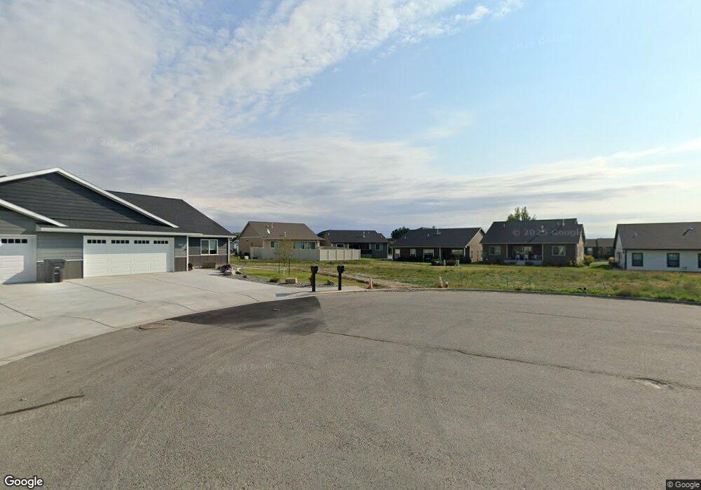
1019 Phil Cir Laurel, MT 59044
Estimated Value: $380,000 - $494,000
3
Beds
2
Baths
2,682
Sq Ft
$161/Sq Ft
Est. Value
About This Home
This home is located at 1019 Phil Cir, Laurel, MT 59044 and is currently estimated at $432,136, approximately $161 per square foot. 1019 Phil Cir is a home located in Yellowstone County with nearby schools including West School, Fred W. Graff School, and Laurel Middle School.
Ownership History
Date
Name
Owned For
Owner Type
Purchase Details
Closed on
Jul 25, 2024
Sold by
Trailhead Builders Of Montana Llc
Bought by
Quinn Nathan and Quinn Chelsea
Current Estimated Value
Home Financials for this Owner
Home Financials are based on the most recent Mortgage that was taken out on this home.
Original Mortgage
$337,600
Outstanding Balance
$333,474
Interest Rate
6.87%
Mortgage Type
New Conventional
Estimated Equity
$98,662
Create a Home Valuation Report for This Property
The Home Valuation Report is an in-depth analysis detailing your home's value as well as a comparison with similar homes in the area
Home Values in the Area
Average Home Value in this Area
Purchase History
| Date | Buyer | Sale Price | Title Company |
|---|---|---|---|
| Quinn Nathan | -- | First Montana Title |
Source: Public Records
Mortgage History
| Date | Status | Borrower | Loan Amount |
|---|---|---|---|
| Open | Quinn Nathan | $337,600 |
Source: Public Records
Tax History Compared to Growth
Tax History
| Year | Tax Paid | Tax Assessment Tax Assessment Total Assessment is a certain percentage of the fair market value that is determined by local assessors to be the total taxable value of land and additions on the property. | Land | Improvement |
|---|---|---|---|---|
| 2025 | $3,386 | $355,200 | $17,485 | $337,715 |
| 2024 | $3,386 | $364,400 | $12,185 | $352,215 |
| 2023 | $303 | $12,705 | $12,185 | $520 |
| 2022 | $159 | $18,996 | $0 | $0 |
| 2021 | $361 | $18,996 | $0 | $0 |
| 2020 | $354 | $17,856 | $0 | $0 |
| 2019 | $498 | $17,856 | $0 | $0 |
| 2018 | $404 | $17,138 | $0 | $0 |
| 2017 | $431 | $17,138 | $0 | $0 |
| 2016 | $432 | $17,523 | $0 | $0 |
| 2015 | $430 | $17,523 | $0 | $0 |
| 2014 | $446 | $9,326 | $0 | $0 |
Source: Public Records
Map
Nearby Homes
- 1018 Els Dr
- 1712 Paynes Place
- TBD Block 3 Lot 6
- TBD Block 3 Lot 4
- TBD Block 1 Lot 2
- 1014 Rochelle Ln
- TBD Block 1 Lot 3
- TBD Block 3 Lot 1
- TBD Block 3 Lot 9
- 1106 W 12th St
- 1013 W 12th St
- 1109 10th Ave
- 1036 9th Ave
- 512 W 14th St
- 403 Grandview Blvd
- 102 8th Ave Unit B
- 1960 Coyote Ridge Rd N
- 116 4th Ave
- 109 E 12th St
- 1003 Montana Ave
- 1017 Phil Cir
- 1021 Phil Cir
- 1015 Phil Cir Unit E
- 1015 Phil Cir
- 1015 Phil Cir Unit 34
- 1022 Phil Cir
- 1016 Els Dr
- 1013 Phil Cir
- 1014 Els Dr
- 1704 Paynes Place
- 1708 Paynes Place
- 1706 Paynes Place
- 1020 Phil Cir
- 1702 Paynes Place
- 1702 Paynes Place Unit 17
- 1012 Els Dr
- 1018 Phil Cir
- 1016 Phil Cir
- 1710 Paynes Place
- 0 Els Dr