1019 Queensgate Dr SE Smyrna, GA 30082
Estimated Value: $783,000 - $887,000
5
Beds
4
Baths
3,581
Sq Ft
$233/Sq Ft
Est. Value
About This Home
This home is located at 1019 Queensgate Dr SE, Smyrna, GA 30082 and is currently estimated at $834,274, approximately $232 per square foot. 1019 Queensgate Dr SE is a home located in Cobb County with nearby schools including King Springs Elementary School, Griffin Middle School, and Campbell High School.
Ownership History
Date
Name
Owned For
Owner Type
Purchase Details
Closed on
Apr 30, 2010
Sold by
Gates Kennedy L and Gates Yvette J
Bought by
Langeman Tiffany
Current Estimated Value
Home Financials for this Owner
Home Financials are based on the most recent Mortgage that was taken out on this home.
Original Mortgage
$352,309
Outstanding Balance
$237,538
Interest Rate
5.25%
Mortgage Type
FHA
Estimated Equity
$596,736
Purchase Details
Closed on
May 30, 2001
Sold by
Poston Victoria B
Bought by
Bowdler James C
Home Financials for this Owner
Home Financials are based on the most recent Mortgage that was taken out on this home.
Original Mortgage
$275,000
Interest Rate
7.11%
Mortgage Type
New Conventional
Purchase Details
Closed on
Mar 6, 1998
Sold by
Traton Corp Cobb
Bought by
Poston Victoria B
Create a Home Valuation Report for This Property
The Home Valuation Report is an in-depth analysis detailing your home's value as well as a comparison with similar homes in the area
Home Values in the Area
Average Home Value in this Area
Purchase History
| Date | Buyer | Sale Price | Title Company |
|---|---|---|---|
| Langeman Tiffany | $359,000 | -- | |
| Bowdler James C | $345,000 | -- | |
| Poston Victoria B | $224,000 | -- |
Source: Public Records
Mortgage History
| Date | Status | Borrower | Loan Amount |
|---|---|---|---|
| Open | Langeman Tiffany | $352,309 | |
| Previous Owner | Bowdler James C | $275,000 |
Source: Public Records
Tax History Compared to Growth
Tax History
| Year | Tax Paid | Tax Assessment Tax Assessment Total Assessment is a certain percentage of the fair market value that is determined by local assessors to be the total taxable value of land and additions on the property. | Land | Improvement |
|---|---|---|---|---|
| 2025 | $7,228 | $339,536 | $80,000 | $259,536 |
| 2024 | $7,228 | $339,536 | $80,000 | $259,536 |
| 2023 | $5,446 | $270,344 | $44,000 | $226,344 |
| 2022 | $4,876 | $211,572 | $44,000 | $167,572 |
| 2021 | $4,903 | $211,572 | $44,000 | $167,572 |
| 2020 | $4,707 | $201,248 | $44,000 | $157,248 |
| 2019 | $4,707 | $201,248 | $44,000 | $157,248 |
| 2018 | $4,304 | $180,084 | $44,000 | $136,084 |
| 2017 | $4,090 | $180,084 | $44,000 | $136,084 |
| 2016 | $3,702 | $159,512 | $48,000 | $111,512 |
| 2015 | $3,783 | $159,512 | $48,000 | $111,512 |
| 2014 | $3,362 | $136,008 | $0 | $0 |
Source: Public Records
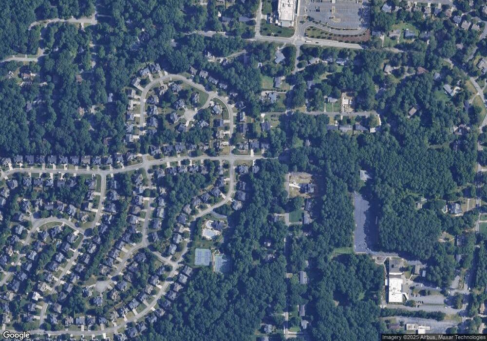
Map
Nearby Homes
- 1224 Kenway Cir SE
- 951 Reed Rd SE
- 4381 King Valley Dr SE
- 4398 King Valley 3-5 Dr SE
- 931 Hidden Falls Ln SE
- 608 Green Valley Dr
- 608 & 612 Green Valley Dr
- 634 Green Valley Dr SE
- 1181 Parkland Run SE
- 505 Bridge Ln SE
- 502 Bridge Ln SE
- 904 Bridge Ln SE
- 2163 Berryhill Cir SE
- 2158 Berryhill Cir SE
- 3941 Lake Dr SE
- 303 Mill Pond Ct SE
- 204 Kenninghall Ln SE Unit 6
- 606 Mill Pond Dr SE
- 609 Mill Pond Dr SE
- 610 Mill Pond Dr SE
- 1166 Queensgate Dr SE Unit 1
- 1021 Queensgate Dr SE Unit I
- 1200 Kenway Cir SE Unit 1200
- 1200 Kenway Cir SE
- 1200 Kenway Cir SE Unit 1
- 1160 Queensgate Dr SE
- 1020 Queensgate Dr SE
- 1023 Queensgate Dr SE Unit 1
- 1167 Queensgate Dr SE Unit 1
- 1022 Queensgate Dr SE
- 1169 Queensgate Dr SE
- 1025 Queensgate Dr SE Unit 1
- 1158 Queensgate Dr SE
- 1201 Kenway Cir SE
- 1202 Kenway Cir SE Unit 3
- 1024 Queensgate Dr SE Unit 1
- 4230 King Valley Dr SE Unit 4
- 0 Queensgate Ct Unit 7438312
- 0 Queensgate Ct Unit 7265757
- 1159 Queensgate Dr SE