1019 Ramsey Dr Lincolnton, GA 30817
Estimated Value: $227,000 - $250,000
2
Beds
1
Bath
966
Sq Ft
$250/Sq Ft
Est. Value
About This Home
This home is located at 1019 Ramsey Dr, Lincolnton, GA 30817 and is currently estimated at $241,667, approximately $250 per square foot. 1019 Ramsey Dr is a home located in Lincoln County with nearby schools including Lincoln County Elementary School, Lincoln County Middle School, and Lincoln County High School.
Ownership History
Date
Name
Owned For
Owner Type
Purchase Details
Closed on
Sep 12, 1997
Sold by
Jennings Carol Hawes
Bought by
Hawes Herbert
Current Estimated Value
Purchase Details
Closed on
Feb 14, 1997
Sold by
Hawes Nellie M
Bought by
Jennings Carol Hawes
Purchase Details
Closed on
Dec 11, 1970
Sold by
Hogan Hogan and Hogan Drinkard
Bought by
Hawes Nellie M and Hawes Hubert
Purchase Details
Closed on
Oct 3, 1970
Bought by
Hogan Hogan and Hogan Drinkard
Create a Home Valuation Report for This Property
The Home Valuation Report is an in-depth analysis detailing your home's value as well as a comparison with similar homes in the area
Home Values in the Area
Average Home Value in this Area
Purchase History
| Date | Buyer | Sale Price | Title Company |
|---|---|---|---|
| Hawes Herbert | -- | -- | |
| Jennings Carol Hawes | -- | -- | |
| Hawes Nellie M | $12,500 | -- | |
| Hogan Hogan | -- | -- |
Source: Public Records
Tax History Compared to Growth
Tax History
| Year | Tax Paid | Tax Assessment Tax Assessment Total Assessment is a certain percentage of the fair market value that is determined by local assessors to be the total taxable value of land and additions on the property. | Land | Improvement |
|---|---|---|---|---|
| 2025 | $34 | $1,400 | $1,400 | $0 |
| 2024 | $37 | $1,400 | $1,400 | $0 |
| 2023 | $237 | $15,576 | $1,400 | $14,176 |
| 2022 | $403 | $15,016 | $1,400 | $13,616 |
| 2021 | $386 | $13,736 | $1,400 | $12,336 |
| 2020 | $332 | $11,256 | $1,400 | $9,856 |
| 2019 | $332 | $11,256 | $1,400 | $9,856 |
| 2018 | $354 | $11,256 | $1,400 | $9,856 |
| 2017 | $316 | $10,040 | $1,400 | $8,640 |
| 2016 | $246 | $10,040 | $1,400 | $8,640 |
| 2015 | -- | $10,040 | $1,400 | $8,640 |
| 2014 | -- | $10,040 | $1,400 | $8,640 |
| 2013 | -- | $10,040 | $1,400 | $8,640 |
Source: Public Records
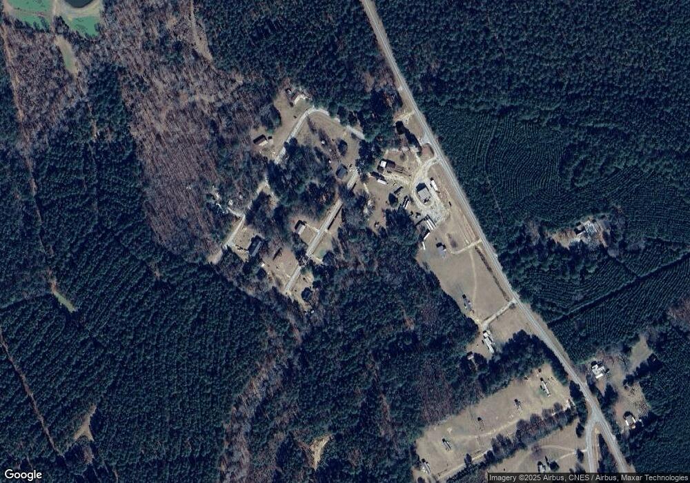
Map
Nearby Homes
- 1960 White Rock Rd
- 1460 Leathersville Rd
- 0 Ga-220 Unit 541923
- 0 Hwy 220 Tract B
- 2534 Georgia 220
- 0 Maiden Cane Way Unit 10610441
- 0 Mariners Way Unit Lot 39
- 0 Mariners Way Unit Lot 41
- 0 Mariners Way Unit 10539877
- 0 Hwy 220 Tract A
- 32 Eagle Pointe
- 1312 Amity-Woodlawn Rd
- 1791 Augusta Hwy
- 280 May Ave
- 000 Georgia 220
- 0 Georgia 220 Unit TRACT B 10468309
- 0 Georgia 220 Unit TRACT A 10468318
- 1118 Augusta Hwy
- 00 Crook Rd
- 125 Elm St
- 1057 Ramsey Dr
- 1056 Ramsey Dr
- 1032 Ramsey Dr
- 1083 Ramsey Dr
- 1006 Ramsey Dr
- 1022 Beard Dr
- 1082 Ramsey Dr
- 00 Beard Dr
- 0 Beard Dr
- 1107 Beard Dr
- 2405 Leathersville Rd
- 1041 Beard Dr
- 1127 Beard Dr
- 2479 Leathersville Rd
- 1065 Beard Dr
- 2383 Leathersville Rd
- 2481 Leathersville Rd
- 2981 Jones Chapel Rd
- 2476 Leathersville Rd
- 5 Leathersville Rd