1019 W 88th St S Colfax, IA 50054
Estimated Value: $306,000 - $437,955
3
Beds
1
Bath
2,450
Sq Ft
$158/Sq Ft
Est. Value
About This Home
This home is located at 1019 W 88th St S, Colfax, IA 50054 and is currently estimated at $387,239, approximately $158 per square foot. 1019 W 88th St S is a home located in Jasper County with nearby schools including Colfax-Mingo Elementary School and Colfax-Mingo High School.
Ownership History
Date
Name
Owned For
Owner Type
Purchase Details
Closed on
Sep 19, 2023
Sold by
Fritz Marcella J and Fritz Charles R
Bought by
Fritz Marcella J and Fritz Charles R
Current Estimated Value
Home Financials for this Owner
Home Financials are based on the most recent Mortgage that was taken out on this home.
Original Mortgage
$150,000
Outstanding Balance
$148,842
Interest Rate
12%
Mortgage Type
Credit Line Revolving
Estimated Equity
$238,397
Create a Home Valuation Report for This Property
The Home Valuation Report is an in-depth analysis detailing your home's value as well as a comparison with similar homes in the area
Home Values in the Area
Average Home Value in this Area
Purchase History
| Date | Buyer | Sale Price | Title Company |
|---|---|---|---|
| Fritz Marcella J | -- | None Listed On Document |
Source: Public Records
Mortgage History
| Date | Status | Borrower | Loan Amount |
|---|---|---|---|
| Open | Fritz Marcella J | $150,000 |
Source: Public Records
Tax History Compared to Growth
Tax History
| Year | Tax Paid | Tax Assessment Tax Assessment Total Assessment is a certain percentage of the fair market value that is determined by local assessors to be the total taxable value of land and additions on the property. | Land | Improvement |
|---|---|---|---|---|
| 2025 | $4,374 | $383,170 | $99,800 | $283,370 |
| 2024 | $4,374 | $327,260 | $61,120 | $266,140 |
| 2023 | $4,240 | $327,260 | $61,120 | $266,140 |
| 2022 | $2,238 | $164,580 | $61,120 | $103,460 |
| 2021 | $1,520 | $153,750 | $61,120 | $92,630 |
| 2020 | $1,520 | $99,610 | $45,800 | $53,810 |
| 2019 | $1,472 | $90,020 | $0 | $0 |
| 2018 | $1,472 | $90,020 | $0 | $0 |
| 2017 | $1,470 | $90,020 | $0 | $0 |
| 2016 | $1,470 | $90,020 | $0 | $0 |
| 2015 | $1,622 | $90,020 | $0 | $0 |
| 2014 | $1,520 | $90,020 | $0 | $0 |
Source: Public Records
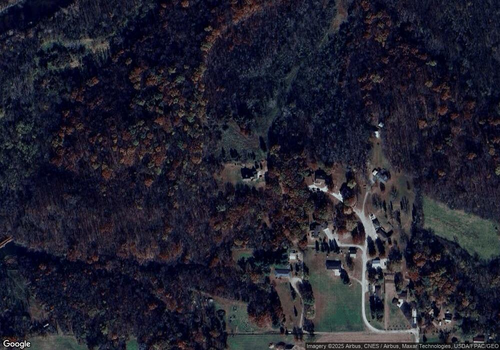
Map
Nearby Homes
- 655 E Division St
- 20 S Oak Park Ave
- 300 E Front St
- 0000 Lincoln St
- 400 S Goodrich St
- 200 Jefferson St
- 226 S Iowa St
- 222 E Broadway St
- 520 S Oak Park Ave
- 624 S Goodrich St
- 34 E Broadway St
- HWY 117 at Intersection of Fleet Ave
- 108 S Walnut St
- 108 N West St
- 119 W Washington St
- 1161 S Goodrich St
- 223 W Broadway St
- 215 W Spring St
- 501 W Broadway St
- 6911 Highway F48 W
- 957 W 88th St S
- 1009 W 88th St S
- 1167 W 88th St S
- 1059 W 88th St S
- 956 W 88th St S
- 1040 W 88th St S
- 1106 W 88th St S
- 1228 W 88th St S
- 1284 W 88th St S
- 1250 W 88th St S
- 1334 W 88th St S
- 1442 W 88th St S
- 1496 W 88th St S
- 1207 Newgate St
- 8782 Highway F48 W
- 8744 Highway F48 W
- 8714 Highway F48 W
- 8684 Highway F48 W
- 8588 Highway F48 W
- 8512 Highway F48 W