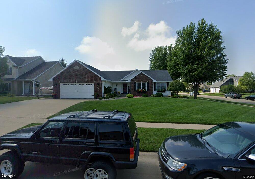
1019 W Scott St Eldridge, IA 52748
Estimated Value: $316,000 - $374,908
3
Beds
3
Baths
1,547
Sq Ft
$219/Sq Ft
Est. Value
About This Home
This home is located at 1019 W Scott St, Eldridge, IA 52748 and is currently estimated at $339,477, approximately $219 per square foot. 1019 W Scott St is a home located in Scott County with nearby schools including Edward White Elementary School, North Scott Junior High School, and North Scott Senior High School.
Ownership History
Date
Name
Owned For
Owner Type
Purchase Details
Closed on
Dec 30, 2004
Sold by
Prochaska Dave and Prochaska Judy
Bought by
Mcnealey Ronald A and Mcnealey Patricia A
Current Estimated Value
Home Financials for this Owner
Home Financials are based on the most recent Mortgage that was taken out on this home.
Original Mortgage
$125,000
Outstanding Balance
$63,307
Interest Rate
5.9%
Mortgage Type
New Conventional
Estimated Equity
$276,170
Create a Home Valuation Report for This Property
The Home Valuation Report is an in-depth analysis detailing your home's value as well as a comparison with similar homes in the area
Home Values in the Area
Average Home Value in this Area
Purchase History
| Date | Buyer | Sale Price | Title Company |
|---|---|---|---|
| Mcnealey Ronald A | $169,000 | None Available |
Source: Public Records
Mortgage History
| Date | Status | Borrower | Loan Amount |
|---|---|---|---|
| Open | Mcnealey Ronald A | $125,000 |
Source: Public Records
Tax History
| Year | Tax Paid | Tax Assessment Tax Assessment Total Assessment is a certain percentage of the fair market value that is determined by local assessors to be the total taxable value of land and additions on the property. | Land | Improvement |
|---|---|---|---|---|
| 2025 | $3,764 | $348,400 | $92,600 | $255,800 |
| 2024 | $3,666 | $303,900 | $64,100 | $239,800 |
| 2023 | $3,524 | $303,900 | $64,100 | $239,800 |
| 2022 | $3,414 | $251,160 | $54,450 | $196,710 |
| 2021 | $3,414 | $251,160 | $54,450 | $196,710 |
| 2020 | $3,344 | $241,000 | $54,450 | $186,550 |
| 2019 | $3,346 | $231,100 | $44,550 | $186,550 |
| 2018 | $3,414 | $231,100 | $44,550 | $186,550 |
| 2017 | $1,285 | $231,100 | $44,550 | $186,550 |
| 2016 | $3,160 | $213,510 | $0 | $0 |
| 2015 | $3,160 | $205,060 | $0 | $0 |
| 2014 | $3,082 | $205,060 | $0 | $0 |
| 2013 | $3,026 | $0 | $0 | $0 |
| 2012 | -- | $206,740 | $44,550 | $162,190 |
Source: Public Records
Map
Nearby Homes
- 1011 W Scott St
- 1050 W Maple Ct
- 1101 W Scott Ct
- 1000 W Maple Ct
- 1003 W Scott St
- 803 Dammann Dr
- 1108 W Maple St
- 1016 W Scott St
- 950 W Maple Ct
- 1104 W Scott Ct
- 1111 W Scott Ct
- 921 W Scott St
- 1008 W Scott St
- 900 W Maple Ct
- 1120 W Maple St
- 1112 Scott St
- 1112 W Scott Ct
- 651 Dammann Dr
- 651 Dammann Dr
- 1119 W Scott Ct
Your Personal Tour Guide
Ask me questions while you tour the home.