Estimated Value: $235,308 - $277,000
3
Beds
2
Baths
1,528
Sq Ft
$168/Sq Ft
Est. Value
About This Home
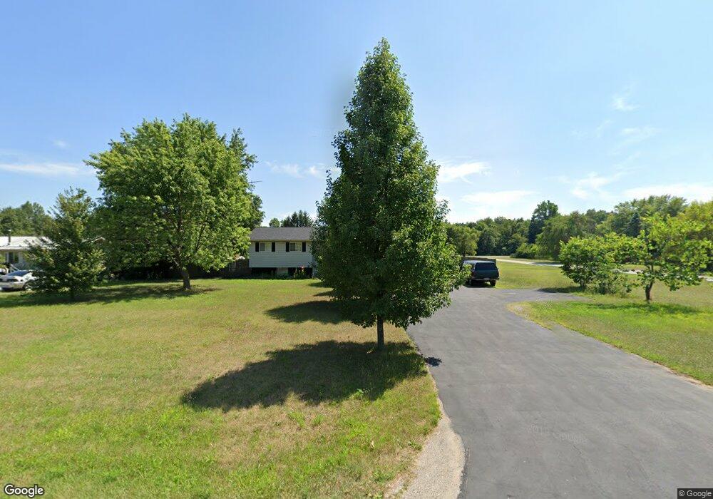
This home is located at 10195 E State Road 8, Knox, IN 46534 and is currently estimated at $256,577, approximately $167 per square foot. 10195 E State Road 8 is a home located in Starke County with nearby schools including Knox Community Elementary School, Knox Community Middle School, and Knox Community High School.
Ownership History
Date
Name
Owned For
Owner Type
Purchase Details
Closed on
Dec 29, 2020
Sold by
Burns Jeremy R and Burns Rebekah S
Bought by
Howsare Jacob
Current Estimated Value
Home Financials for this Owner
Home Financials are based on the most recent Mortgage that was taken out on this home.
Original Mortgage
$170,707
Outstanding Balance
$150,574
Interest Rate
2.7%
Mortgage Type
New Conventional
Estimated Equity
$106,003
Purchase Details
Closed on
Jan 15, 2008
Sold by
Burns Shirley A
Bought by
Burns Jeremy R and Burns Rebekah S
Home Financials for this Owner
Home Financials are based on the most recent Mortgage that was taken out on this home.
Original Mortgage
$88,000
Interest Rate
5.95%
Mortgage Type
FHA
Purchase Details
Closed on
Oct 23, 2006
Sold by
Tolson Michael D and Tolson Patricia K
Bought by
Burns David M and Burns Shirley A
Home Financials for this Owner
Home Financials are based on the most recent Mortgage that was taken out on this home.
Original Mortgage
$69,600
Interest Rate
6.5%
Mortgage Type
FHA
Create a Home Valuation Report for This Property
The Home Valuation Report is an in-depth analysis detailing your home's value as well as a comparison with similar homes in the area
Purchase History
| Date | Buyer | Sale Price | Title Company |
|---|---|---|---|
| Howsare Jacob | -- | Meridian Title Corp | |
| Burns Jeremy R | -- | Chicago Title Insurance Comp | |
| Burns David M | -- | None Available |
Source: Public Records
Mortgage History
| Date | Status | Borrower | Loan Amount |
|---|---|---|---|
| Open | Howsare Jacob | $170,707 | |
| Previous Owner | Burns Jeremy R | $88,000 | |
| Previous Owner | Burns David M | $69,600 |
Source: Public Records
Tax History
| Year | Tax Paid | Tax Assessment Tax Assessment Total Assessment is a certain percentage of the fair market value that is determined by local assessors to be the total taxable value of land and additions on the property. | Land | Improvement |
|---|---|---|---|---|
| 2025 | $1,281 | $211,100 | $20,100 | $191,000 |
| 2024 | $1,281 | $194,000 | $19,300 | $174,700 |
| 2023 | $1,281 | $182,500 | $17,500 | $165,000 |
| 2022 | $1,338 | $167,800 | $16,800 | $151,000 |
| 2021 | $1,156 | $139,700 | $16,800 | $122,900 |
| 2020 | $786 | $99,100 | $16,800 | $82,300 |
| 2019 | $397 | $79,300 | $16,800 | $62,500 |
| 2018 | $342 | $75,800 | $15,300 | $60,500 |
| 2017 | $350 | $76,400 | $15,300 | $61,100 |
| 2016 | $331 | $74,100 | $15,300 | $58,800 |
| 2014 | $395 | $84,300 | $15,300 | $69,000 |
| 2013 | $382 | $83,800 | $15,300 | $68,500 |
Source: Public Records
Map
Nearby Homes
- 10195 Indiana 8
- 10215 E State Road 8
- 10235 E State Road 8
- 10190 E State Road 8
- 10135 E State Road 8
- 10150 E State Road 8
- 965 S 1025 E
- 10115 E State Road 8
- 1040 S 1025 E
- 1060 S 1025 E
- 10190 E Sr 8
- 1020 S 1025 E
- 1020 South St
- 10095 E State Road 8
- 10095 Indiana 8
- 10095 E State
- 1120 S 1025 E
- 10097 E State Road 8
- 925 S 1025 E
- 1140 S 1025 E
Your Personal Tour Guide
Ask me questions while you tour the home.