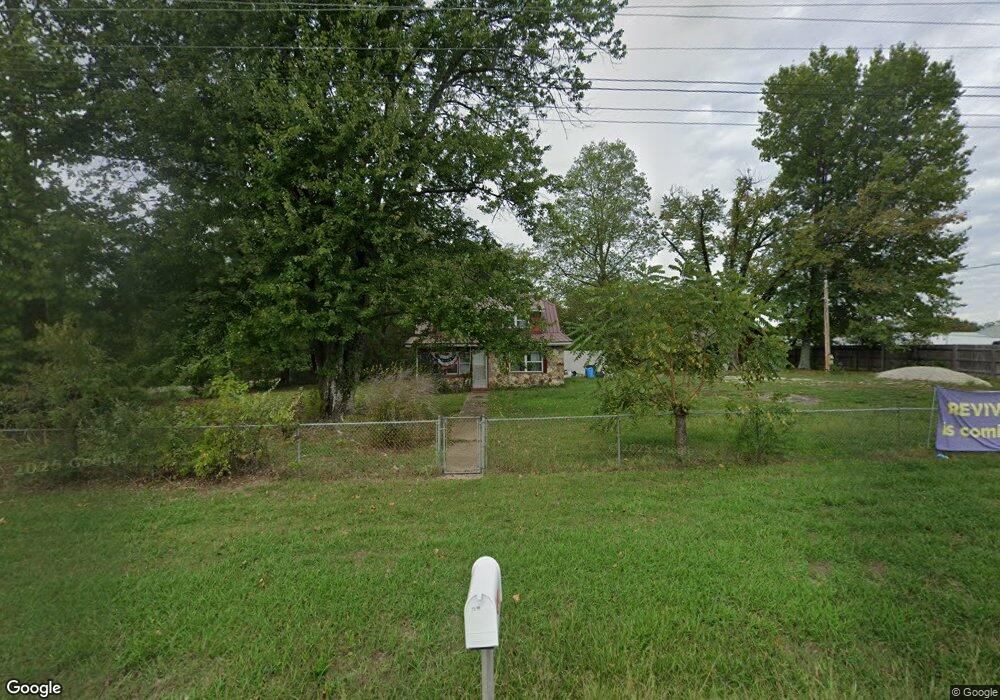
10199 State Highway 76 Forsyth, MO 65653
Estimated Value: $127,542 - $388,000
3
Beds
--
Bath
1,014
Sq Ft
$235/Sq Ft
Est. Value
About This Home
This home is located at 10199 State Highway 76, Forsyth, MO 65653 and is currently estimated at $238,136, approximately $234 per square foot. 10199 State Highway 76 is a home located in Taney County with nearby schools including Forsyth Elementary School, Forsyth Middle School, and Forsyth High School.
Ownership History
Date
Name
Owned For
Owner Type
Purchase Details
Closed on
Apr 29, 2020
Sold by
Bell Dona L and Brumbaugh Rick
Bought by
Fast Luke J and Fast Kimberly M
Current Estimated Value
Home Financials for this Owner
Home Financials are based on the most recent Mortgage that was taken out on this home.
Original Mortgage
$80,000
Outstanding Balance
$70,985
Interest Rate
3.6%
Mortgage Type
Future Advance Clause Open End Mortgage
Estimated Equity
$167,151
Create a Home Valuation Report for This Property
The Home Valuation Report is an in-depth analysis detailing your home's value as well as a comparison with similar homes in the area
Home Values in the Area
Average Home Value in this Area
Purchase History
| Date | Buyer | Sale Price | Title Company |
|---|---|---|---|
| Fast Luke J | -- | None Available |
Source: Public Records
Mortgage History
| Date | Status | Borrower | Loan Amount |
|---|---|---|---|
| Open | Fast Luke J | $80,000 | |
| Closed | Fast Luke J | $80,000 |
Source: Public Records
Tax History Compared to Growth
Tax History
| Year | Tax Paid | Tax Assessment Tax Assessment Total Assessment is a certain percentage of the fair market value that is determined by local assessors to be the total taxable value of land and additions on the property. | Land | Improvement |
|---|---|---|---|---|
| 2025 | $504 | $8,970 | -- | -- |
| 2023 | $504 | $10,120 | $0 | $0 |
| 2022 | $499 | $10,120 | $0 | $0 |
| 2021 | $498 | $10,120 | $0 | $0 |
| 2019 | $433 | $8,990 | $0 | $0 |
| 2018 | $431 | $8,990 | $0 | $0 |
| 2017 | $432 | $8,990 | $0 | $0 |
| 2016 | $419 | $8,760 | $0 | $0 |
| 2015 | $419 | $8,760 | $0 | $0 |
| 2014 | $433 | $8,900 | $0 | $0 |
Source: Public Records
Map
Nearby Homes
- 170 Proverbs Ct
- 140 Summit Ridge Dr
- 302 Field Rd
- 315 Mccann Rd
- 949 Wayland Dr
- 352 Scenic Dr
- 000 Burmingham Rd
- Lot 18 Long View Point
- 1 Lookout
- 2 Lookout
- 3 Lookout Rd
- 340 Shady Oaks Shore
- 11675 State Highway 76
- 440 Flat Tops Dr
- 428 & 438 Prospect Rd
- 147 Lakeview Dr
- 443 Newport Dr
- 000 State Highway Y
- 573 State Highway Y
- 189 Pierce Place
- 10204 State Highway 76
- 10151 State Highway 76
- 10124 State Highway 76
- 10116 State Highway 76
- 10102 State Highway 76
- 10033 State Highway 76
- 10033 State Highway 76
- 10377 State Highway 76
- 235 Shenandoah Rd
- 256 Shenandoah Rd
- 256 Shenandoah Rd
- 0 Shenandoah Ln Unit 30352364
- Tbd Shenandoah Ln
- 0 Shenandoah Ln
- 602 Porter Rd
- 9965 State Highway 76
- 421 Porter Rd
- 371 Porter Rd
- 10000 State Highway 76
- 9955 State Highway 76