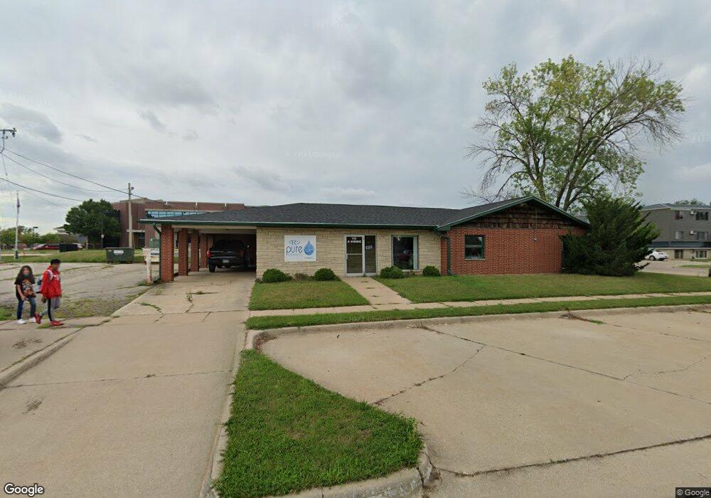
102 A Ave Hiawatha, IA 52233
Estimated Value: $405,717
--
Bed
--
Bath
2,492
Sq Ft
$163/Sq Ft
Est. Value
About This Home
This home is located at 102 A Ave, Hiawatha, IA 52233 and is currently estimated at $405,717, approximately $162 per square foot. 102 A Ave is a home located in Linn County with nearby schools including T.C. Cherry Elementary School, Nixon Elementary School, and Ponderosa Elementary School.
Ownership History
Date
Name
Owned For
Owner Type
Purchase Details
Closed on
Oct 30, 2017
Sold by
Ldd Properties Llc
Bought by
Howe Enterprise Llc
Current Estimated Value
Home Financials for this Owner
Home Financials are based on the most recent Mortgage that was taken out on this home.
Original Mortgage
$172,000
Outstanding Balance
$134,171
Interest Rate
3.85%
Mortgage Type
Credit Line Revolving
Estimated Equity
$271,546
Purchase Details
Closed on
Jul 24, 2009
Sold by
Sherman Properties Llc
Bought by
Ldd Properties Llc
Home Financials for this Owner
Home Financials are based on the most recent Mortgage that was taken out on this home.
Original Mortgage
$188,000
Interest Rate
5.62%
Mortgage Type
Purchase Money Mortgage
Purchase Details
Closed on
Jun 20, 2007
Sold by
Sherman Thomas R
Bought by
Sherman Properties Llc
Create a Home Valuation Report for This Property
The Home Valuation Report is an in-depth analysis detailing your home's value as well as a comparison with similar homes in the area
Home Values in the Area
Average Home Value in this Area
Purchase History
| Date | Buyer | Sale Price | Title Company |
|---|---|---|---|
| Howe Enterprise Llc | -- | None Available | |
| Ldd Properties Llc | $234,500 | None Available | |
| Sherman Properties Llc | -- | None Available |
Source: Public Records
Mortgage History
| Date | Status | Borrower | Loan Amount |
|---|---|---|---|
| Open | Howe Enterprise Llc | $172,000 | |
| Previous Owner | Ldd Properties Llc | $188,000 |
Source: Public Records
Tax History Compared to Growth
Tax History
| Year | Tax Paid | Tax Assessment Tax Assessment Total Assessment is a certain percentage of the fair market value that is determined by local assessors to be the total taxable value of land and additions on the property. | Land | Improvement |
|---|---|---|---|---|
| 2025 | $5,278 | $245,900 | $59,900 | $186,000 |
| 2024 | $5,278 | $220,600 | $59,900 | $160,700 |
| 2023 | $5,278 | $220,600 | $59,900 | $160,700 |
| 2022 | $527,800 | $217,000 | $45,600 | $171,400 |
| 2021 | $4,478 | $217,000 | $45,600 | $171,400 |
| 2020 | $4,786 | $223,300 | $45,600 | $177,700 |
| 2019 | $4,732 | $206,900 | $45,600 | $161,300 |
| 2018 | $4,514 | $206,900 | $45,600 | $161,300 |
| 2017 | $7,258 | $210,100 | $45,600 | $164,500 |
| 2016 | $7,258 | $210,100 | $45,600 | $164,500 |
| 2015 | $7,262 | $210,100 | $45,600 | $164,500 |
| 2014 | $4,842 | $210,100 | $45,600 | $164,500 |
| 2013 | $6,720 | $210,100 | $45,600 | $164,500 |
Source: Public Records
Map
Nearby Homes
- 109 E Willman St
- 105 W Willman St
- 1 N Center Point Rd
- 3 N Center Point Rd
- 250 Cimarron Dr Unit 311
- 5455 Blairs Ferry Rd NE
- 114 Northwood Dr
- 6505 Brookview Ln NE
- 780 Ryan Ave
- 0 Council St NE
- 306 10th Ave
- 1472 Tower Ln NE Unit 5
- 1450 Tower Ln NE
- 327 Meadows Field Dr NE
- 1355 Robins Rd
- 1407 Tower Ln NE Unit 1407
- 1200 Murray St NE Unit 11
- 6410 Creekside Dr NE Unit 1
- 6410 Creekside Dr NE
- 1638 47th St NE
- 102 A Ave Unit C
- 103 A Ave
- 102 E Clark St
- 101 E Willman St
- 99 E Clark St
- 103 E Willman St
- 101 E Clark St
- 104 E Clark St
- 103 E Clark St
- 105 E Willman St
- 59-95 E Clark St
- 106 E Clark St
- 107 E Willman St
- 114 Oak St
- 108 E Clark St
- 107 E Clark St
- 110 Oak St
- 102 E Willman St
- 108 Oak St
- 225 Center Point Rd