102 Ariel Cir Sutton, MA 01590
Estimated Value: $271,327 - $538,000
2
Beds
3
Baths
2,057
Sq Ft
$194/Sq Ft
Est. Value
About This Home
This home is located at 102 Ariel Cir, Sutton, MA 01590 and is currently estimated at $400,082, approximately $194 per square foot. 102 Ariel Cir is a home located in Worcester County with nearby schools including Sutton Elementary School, Sutton Middle School, and Sutton High School.
Ownership History
Date
Name
Owned For
Owner Type
Purchase Details
Closed on
May 22, 2015
Sold by
Macdonald Eric F and Macdonald Nicole
Bought by
Vanhuizen Edward A
Current Estimated Value
Home Financials for this Owner
Home Financials are based on the most recent Mortgage that was taken out on this home.
Original Mortgage
$144,911
Outstanding Balance
$111,553
Interest Rate
3.66%
Mortgage Type
New Conventional
Estimated Equity
$288,529
Purchase Details
Closed on
Apr 4, 2008
Sold by
Ariel Circle Llc
Bought by
Macdonald Eric F and Macdonald Eric
Home Financials for this Owner
Home Financials are based on the most recent Mortgage that was taken out on this home.
Original Mortgage
$28,300
Interest Rate
6.06%
Mortgage Type
Purchase Money Mortgage
Create a Home Valuation Report for This Property
The Home Valuation Report is an in-depth analysis detailing your home's value as well as a comparison with similar homes in the area
Home Values in the Area
Average Home Value in this Area
Purchase History
| Date | Buyer | Sale Price | Title Company |
|---|---|---|---|
| Vanhuizen Edward A | $149,393 | -- | |
| Macdonald Eric F | $141,500 | -- | |
| Ariel Circle Llc | -- | -- |
Source: Public Records
Mortgage History
| Date | Status | Borrower | Loan Amount |
|---|---|---|---|
| Open | Vanhuizen Edward A | $144,911 | |
| Previous Owner | Ariel Circle Llc | $28,300 | |
| Previous Owner | Macdonald Eric F | $89,200 |
Source: Public Records
Tax History Compared to Growth
Tax History
| Year | Tax Paid | Tax Assessment Tax Assessment Total Assessment is a certain percentage of the fair market value that is determined by local assessors to be the total taxable value of land and additions on the property. | Land | Improvement |
|---|---|---|---|---|
| 2025 | $2,767 | $222,046 | $0 | $222,046 |
| 2024 | $1,926 | $149,393 | $0 | $149,393 |
| 2023 | $2,103 | $149,393 | $0 | $149,393 |
| 2022 | $2,319 | $149,393 | $0 | $149,393 |
| 2021 | $2,440 | $149,393 | $0 | $149,393 |
| 2020 | $2,443 | $149,393 | $0 | $149,393 |
| 2019 | $2,534 | $149,393 | $0 | $149,393 |
| 2018 | $2,541 | $149,393 | $0 | $149,393 |
| 2017 | $2,534 | $149,393 | $0 | $149,393 |
| 2016 | $2,562 | $149,393 | $0 | $149,393 |
| 2015 | -- | $141,500 | $0 | $141,500 |
| 2014 | $2,468 | $141,500 | $0 | $141,500 |
Source: Public Records
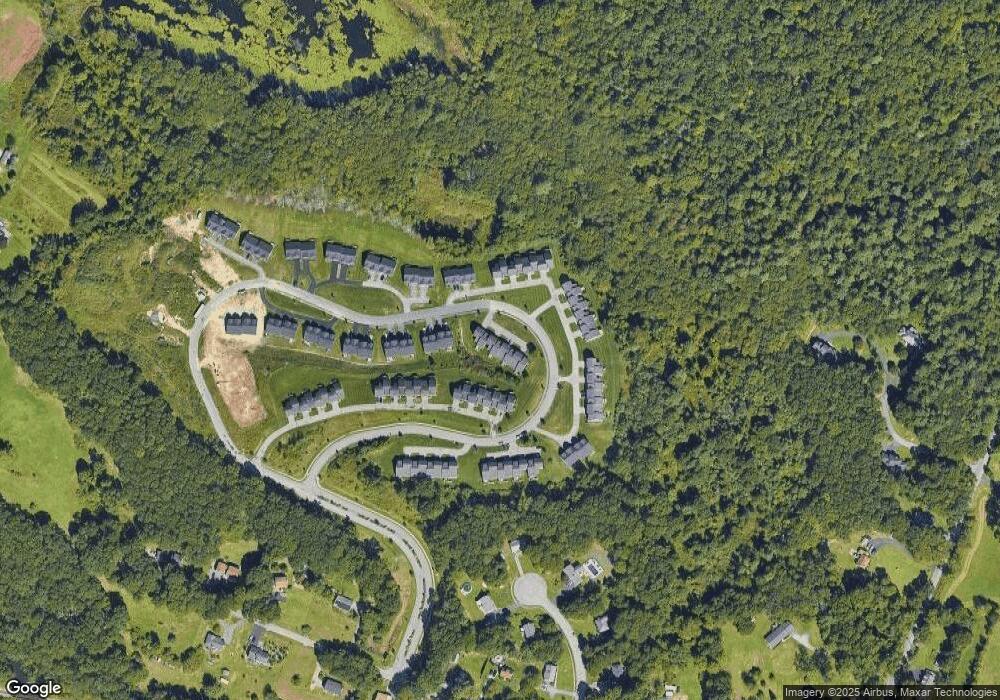
Map
Nearby Homes
- 115 Ariel Cir
- 150 Ariel Cir
- 185 Main St
- 7 B Herbert Dr Unit 14
- 8 Autumn Gate Cir
- Lot 1 Cooper Rd
- 7 Pine Hill Rd
- 30 Lexington Rd
- 110 Main St
- 109 Main St
- 20 Millers Way Unit C
- 29 Highland View Dr
- 7 Millers Way Unit C
- 11 Coldspring Dr Unit B
- 58 Fisherville Terrace
- 55 Fisherville Terrace
- 44 Fisherville Terrace
- 50 Highland View Dr
- 20 Woodridge Rd
- 24 Coldspring Dr Unit B
- 100 Ariel Cir Unit 68
- 100 Ariel Cir
- 104 Ariel Cir
- 106 Ariel Cir
- 102 Ariel Cir Unit 67
- 106 Ariel Cir Unit 65
- 104 Ariel Cir Unit 104
- 132 Ariel Cir
- 134 Ariel Cir
- 136 Ariel Cir
- 138 Ariel Cir
- 136 Ariel Cir Unit 136
- 96 Ariel Cir
- 96 Ariel Cir
- 94 Ariel Cir
- 94 Ariel Cir Unit 70
- 90 Ariel Cir
- 92 Ariel Cir Unit 71
- 92 Ariel Cir
- 140 Ariel Cir