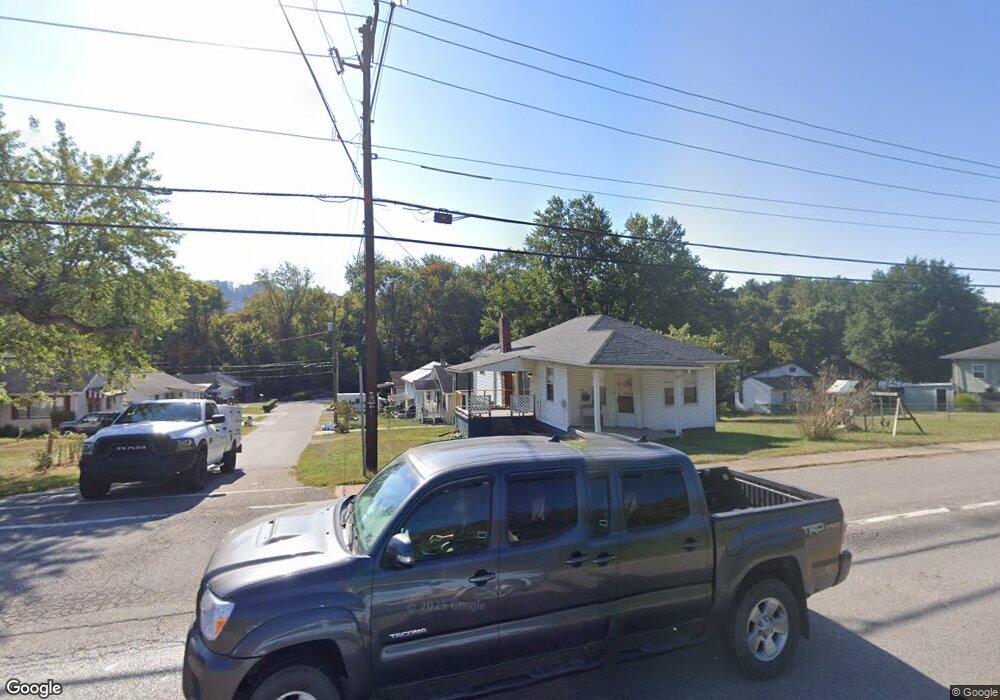
102 Birch St Powhatan Point, OH 43942
Estimated Value: $72,000 - $96,000
3
Beds
1
Bath
1,176
Sq Ft
$72/Sq Ft
Est. Value
About This Home
This home is located at 102 Birch St, Powhatan Point, OH 43942 and is currently estimated at $84,552, approximately $71 per square foot. 102 Birch St is a home located in Belmont County with nearby schools including Powhatan Elementary School, River Elementary School, and Beallsville High School.
Ownership History
Date
Name
Owned For
Owner Type
Purchase Details
Closed on
Mar 28, 2011
Sold by
Lehman Barbara and Lehman Harold J
Bought by
Maynard Cody M
Current Estimated Value
Home Financials for this Owner
Home Financials are based on the most recent Mortgage that was taken out on this home.
Original Mortgage
$33,500
Outstanding Balance
$1,745
Interest Rate
4.3%
Mortgage Type
New Conventional
Estimated Equity
$82,807
Purchase Details
Closed on
Aug 14, 1996
Sold by
Lehman Barbara
Bought by
Lehman Barbara
Purchase Details
Closed on
Jan 1, 1986
Bought by
Lehman Barbara Etal 1
Create a Home Valuation Report for This Property
The Home Valuation Report is an in-depth analysis detailing your home's value as well as a comparison with similar homes in the area
Home Values in the Area
Average Home Value in this Area
Purchase History
| Date | Buyer | Sale Price | Title Company |
|---|---|---|---|
| Maynard Cody M | $42,000 | Attorney | |
| Lehman Barbara | -- | -- | |
| Lehman Barbara Etal 1 | -- | -- |
Source: Public Records
Mortgage History
| Date | Status | Borrower | Loan Amount |
|---|---|---|---|
| Open | Maynard Cody M | $33,500 |
Source: Public Records
Tax History Compared to Growth
Tax History
| Year | Tax Paid | Tax Assessment Tax Assessment Total Assessment is a certain percentage of the fair market value that is determined by local assessors to be the total taxable value of land and additions on the property. | Land | Improvement |
|---|---|---|---|---|
| 2024 | $420 | $11,560 | $1,970 | $9,590 |
| 2023 | $591 | $15,320 | $1,960 | $13,360 |
| 2022 | $591 | $15,320 | $1,960 | $13,360 |
| 2021 | $588 | $15,320 | $1,960 | $13,360 |
| 2020 | $542 | $13,320 | $1,700 | $11,620 |
| 2019 | $544 | $13,320 | $1,700 | $11,620 |
| 2018 | $552 | $13,320 | $1,700 | $11,620 |
| 2017 | $529 | $12,210 | $1,310 | $10,900 |
| 2016 | $504 | $12,210 | $1,310 | $10,900 |
| 2015 | $516 | $12,210 | $1,310 | $10,900 |
| 2014 | $464 | $11,470 | $1,190 | $10,280 |
| 2013 | $463 | $11,470 | $1,190 | $10,280 |
Source: Public Records
Map
Nearby Homes
- 122 3rd St
- 122 2nd St
- 315 Ohio 7
- 0 Clark St
- 54360 Mount Victory Rd
- 0 Mount Victory Rd
- 110 Cove Dr
- 54885 Mount Victory Rd
- 252 Kansas Ridge Ln
- 4390 Taylors Ridge Rd
- 9 Gypsy Dr
- 354 Clearview Heights Dr
- 21 Tharon Ln
- 53 Blue Jay Ln
- 56835 Stephens Rd
- 2 Roberts Ridge Saint Joseph Rd
- 135 Windy Hollow Rd
- 49 Lavender Ln
- 85 Virginia Oaks Dr
- 4796 Big Grave Creek Rd