102 Bridgeport Ave Umatilla, OR 97882
Estimated Value: $283,000 - $288,000
3
Beds
2
Baths
1,234
Sq Ft
$232/Sq Ft
Est. Value
About This Home
This home is located at 102 Bridgeport Ave, Umatilla, OR 97882 and is currently estimated at $285,896, approximately $231 per square foot. 102 Bridgeport Ave is a home located in Umatilla County with nearby schools including McNary Heights Elementary School, Clara Brownell Middle School, and Umatilla High School.
Ownership History
Date
Name
Owned For
Owner Type
Purchase Details
Closed on
Sep 11, 2012
Sold by
Hayden Homes Llc
Bought by
Santa Cruz Cruz Francisco
Current Estimated Value
Home Financials for this Owner
Home Financials are based on the most recent Mortgage that was taken out on this home.
Original Mortgage
$117,683
Outstanding Balance
$81,162
Interest Rate
3.5%
Mortgage Type
New Conventional
Estimated Equity
$204,734
Create a Home Valuation Report for This Property
The Home Valuation Report is an in-depth analysis detailing your home's value as well as a comparison with similar homes in the area
Home Values in the Area
Average Home Value in this Area
Purchase History
| Date | Buyer | Sale Price | Title Company |
|---|---|---|---|
| Santa Cruz Cruz Francisco | $115,330 | Amerititle |
Source: Public Records
Mortgage History
| Date | Status | Borrower | Loan Amount |
|---|---|---|---|
| Open | Santa Cruz Cruz Francisco | $117,683 |
Source: Public Records
Tax History Compared to Growth
Tax History
| Year | Tax Paid | Tax Assessment Tax Assessment Total Assessment is a certain percentage of the fair market value that is determined by local assessors to be the total taxable value of land and additions on the property. | Land | Improvement |
|---|---|---|---|---|
| 2024 | $2,481 | $151,170 | $26,510 | $124,660 |
| 2023 | $2,382 | $146,770 | $25,730 | $121,040 |
| 2022 | $2,157 | $142,500 | $0 | $0 |
| 2021 | $2,111 | $138,350 | $24,260 | $114,090 |
| 2020 | $1,957 | $134,330 | $23,550 | $110,780 |
| 2018 | $2,046 | $126,630 | $22,200 | $104,430 |
| 2017 | $2,008 | $122,950 | $21,550 | $101,400 |
| 2016 | $1,996 | $119,370 | $20,930 | $98,440 |
| 2015 | $1,948 | $109,260 | $19,150 | $90,110 |
| 2014 | $1,915 | $109,260 | $19,150 | $90,110 |
Source: Public Records
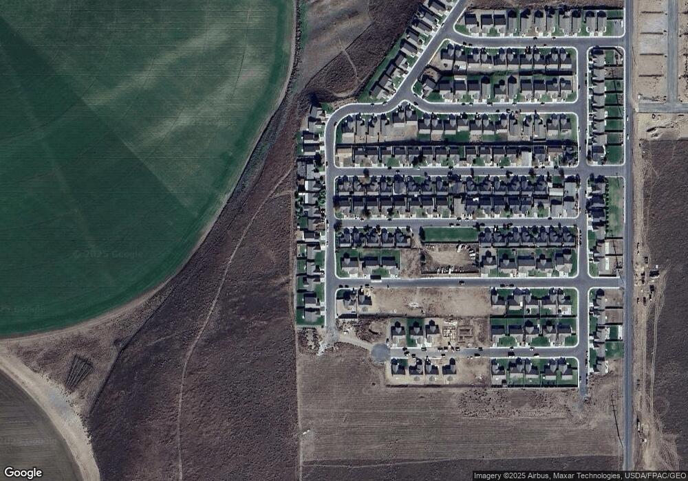
Map
Nearby Homes
- 289 Dark Canyon Ave
- 131 Michelle Ave
- 107 Michelle Ave
- 431 Riley Ave
- 0 5n2820-00-02205 Unit 637599873
- 245 Chukar Cir
- 411 Bobwhite Ave
- 0000 Roosevelt St Unit 7
- 25 Roosevelt Ave Unit 12
- 1690 Hayes St Unit 32
- 0 Powerline Rd
- 1635 Hayes St
- 566 Grant St
- 549 Grant St
- 110 Truman Ave
- 370 Monroe St
- 546 Taft St
- 578 Taft St
- 500 Arthur St
- 516 Arthur St
- 122 Bridgeport Ave
- 111 Riley Ave
- 142 Bridgeport Ave
- 101 Bridgeport Ave
- 121 Bridgeport Ave
- 3160 High Desert Loop
- 3120 High Desert Loop
- 141 Bridgeport Ave
- 3090 High Desert Loop
- 172 Bridgeport Ave
- 3240 High Desert Loop
- 100 Dark Canyon Ave
- 175 Riley Ave
- 171 Bridgeport Ave
- 3070 High Desert Loop
- 120 Dark Canyon Ave
- 140 Dark Canyon Ave
- 190 Bridgeport Ave
- 3020 High Desert Loop
- 3040 High Desert Loop