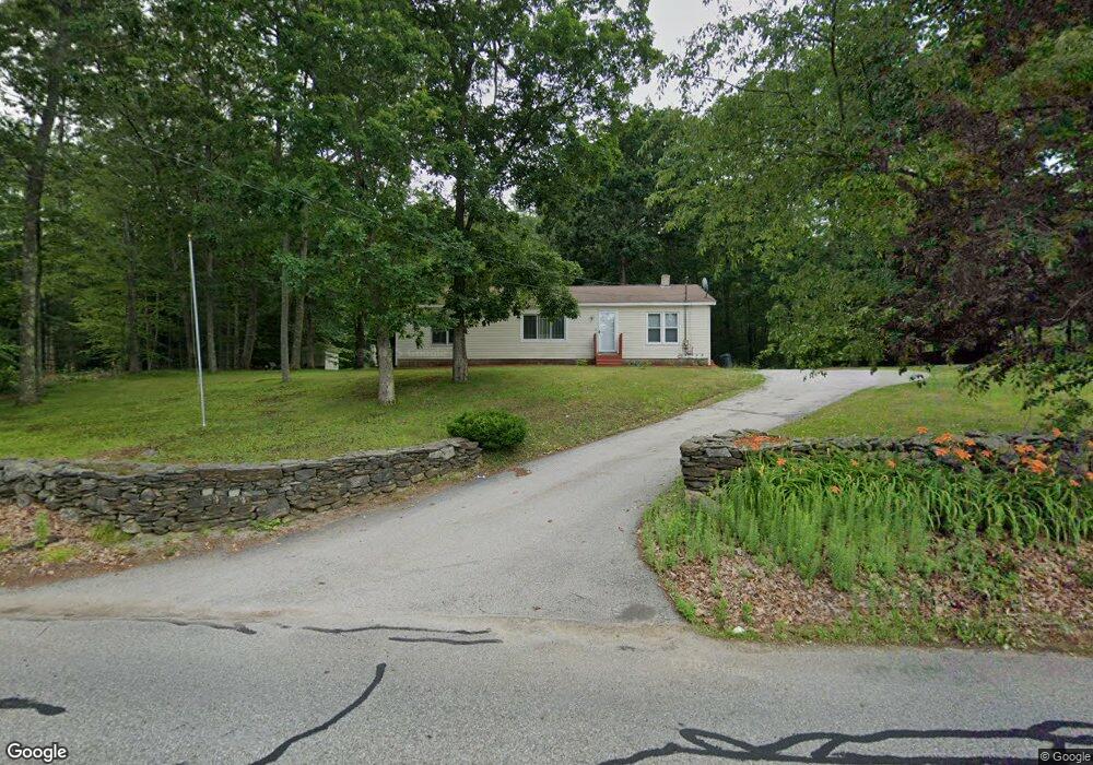
102 Carroll Hill Rd Charlton, MA 01507
Estimated Value: $331,000 - $482,000
3
Beds
2
Baths
1,352
Sq Ft
$311/Sq Ft
Est. Value
About This Home
This home is located at 102 Carroll Hill Rd, Charlton, MA 01507 and is currently estimated at $419,961, approximately $310 per square foot. 102 Carroll Hill Rd is a home located in Worcester County with nearby schools including Shepherd Hill Regional High School.
Ownership History
Date
Name
Owned For
Owner Type
Purchase Details
Closed on
Sep 23, 2009
Sold by
Miner Hugh H Est and Miner
Bought by
Miner Pamela J
Current Estimated Value
Home Financials for this Owner
Home Financials are based on the most recent Mortgage that was taken out on this home.
Original Mortgage
$82,500
Outstanding Balance
$54,064
Interest Rate
5.31%
Mortgage Type
Purchase Money Mortgage
Estimated Equity
$365,897
Create a Home Valuation Report for This Property
The Home Valuation Report is an in-depth analysis detailing your home's value as well as a comparison with similar homes in the area
Home Values in the Area
Average Home Value in this Area
Purchase History
| Date | Buyer | Sale Price | Title Company |
|---|---|---|---|
| Miner Pamela J | -- | -- | |
| Miner Pamela J | -- | -- | |
| Miner Pamela J | -- | -- |
Source: Public Records
Mortgage History
| Date | Status | Borrower | Loan Amount |
|---|---|---|---|
| Open | Miner Pamela J | $50,000 | |
| Open | Miner Pamela J | $82,500 | |
| Closed | Miner Pamela J | $82,500 |
Source: Public Records
Tax History Compared to Growth
Tax History
| Year | Tax Paid | Tax Assessment Tax Assessment Total Assessment is a certain percentage of the fair market value that is determined by local assessors to be the total taxable value of land and additions on the property. | Land | Improvement |
|---|---|---|---|---|
| 2025 | $3,726 | $334,800 | $90,100 | $244,700 |
| 2024 | $3,606 | $318,000 | $90,100 | $227,900 |
| 2023 | $3,543 | $291,100 | $87,100 | $204,000 |
| 2022 | $3,356 | $252,500 | $79,300 | $173,200 |
| 2021 | $3,349 | $223,100 | $75,100 | $148,000 |
| 2020 | $3,288 | $220,100 | $72,100 | $148,000 |
| 2019 | $3,251 | $220,100 | $72,100 | $148,000 |
| 2018 | $3,093 | $229,100 | $72,100 | $157,000 |
| 2017 | $2,950 | $209,200 | $66,100 | $143,100 |
| 2016 | $2,883 | $209,200 | $66,100 | $143,100 |
| 2015 | $2,794 | $208,200 | $66,100 | $142,100 |
| 2014 | $2,667 | $210,700 | $68,600 | $142,100 |
Source: Public Records
Map
Nearby Homes
- 105 Carroll Hill Rd
- 18 Old Worcester Rd
- 13 Boucher Dr
- 40 Carroll Hill Rd
- 8 Northside Rd
- 0 Oxbow Rd
- 7 Hycrest Rd
- 8 Hycrest Rd
- 1 Deer Run
- 71 Bay Path Rd
- 25 N Main St Unit A
- 7 Little Muggett Rd
- 7 L Stevens Rd Unit A
- 7 L Stevens Rd Unit B
- 15 Priscilla Ln
- 44 Hycrest Rd
- 39 Hycrest Rd
- 102 Worcester Rd
- 9 Oak Dr
- 44 Buffum Rd
- 100 Carroll Hill Rd
- 101 Carroll Hill Rd
- 99 Carroll Hill Rd
- 98 Carroll Hill Rd
- 97 Carroll Hill Rd
- 88 Carroll Hill Rd
- 4 Hayes Pond Cir
- 87 Carroll Hill Rd
- 1 Hayes Pond Cir
- L50 Hycrect
- 0 Richardson Corner Road (Leese) Unit 70650108
- 0 Richardson Corner Road (Leese) Unit Leese 70650063
- Lot C4-1 Worcester Road (Rte 20)
- Lot 4 Janks Ln
- Lot 6 Janks Ln
- Lot 5 Janks Ln
- Lot 1 Chelsie Way(off Ramshorn Rd)
- Lot 1 Route 169
- lotc2 Staffford St
- 0 Ponnakin Hill Estates Unit 70360282