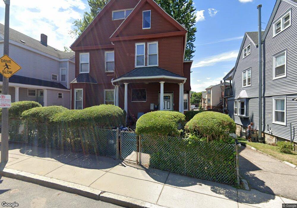
102 Crawford St Dorchester, MA 02121
Washington Park NeighborhoodEstimated Value: $804,000 - $892,000
6
Beds
2
Baths
3,400
Sq Ft
$252/Sq Ft
Est. Value
About This Home
This home is located at 102 Crawford St, Dorchester, MA 02121 and is currently estimated at $857,159, approximately $252 per square foot. 102 Crawford St is a home located in Suffolk County with nearby schools including Bridge Boston Charter School and Mother Caroline Academy & Education Center.
Ownership History
Date
Name
Owned For
Owner Type
Purchase Details
Closed on
Jul 28, 1994
Sold by
Fnma
Bought by
Taylor Herman
Current Estimated Value
Home Financials for this Owner
Home Financials are based on the most recent Mortgage that was taken out on this home.
Original Mortgage
$52,155
Interest Rate
8.25%
Mortgage Type
Purchase Money Mortgage
Purchase Details
Closed on
Aug 18, 1993
Sold by
Augustin Joseph J
Bought by
Federal National Mortgage Association
Create a Home Valuation Report for This Property
The Home Valuation Report is an in-depth analysis detailing your home's value as well as a comparison with similar homes in the area
Home Values in the Area
Average Home Value in this Area
Purchase History
| Date | Buyer | Sale Price | Title Company |
|---|---|---|---|
| Taylor Herman | $54,900 | -- | |
| Federal National Mortgage Association | $26,100 | -- |
Source: Public Records
Mortgage History
| Date | Status | Borrower | Loan Amount |
|---|---|---|---|
| Open | Federal National Mortgage Association | $51,550 | |
| Closed | Federal National Mortgage Association | $14,000 | |
| Closed | Federal National Mortgage Association | $52,155 |
Source: Public Records
Tax History Compared to Growth
Tax History
| Year | Tax Paid | Tax Assessment Tax Assessment Total Assessment is a certain percentage of the fair market value that is determined by local assessors to be the total taxable value of land and additions on the property. | Land | Improvement |
|---|---|---|---|---|
| 2025 | $8,067 | $696,600 | $293,100 | $403,500 |
| 2024 | $6,866 | $629,900 | $212,500 | $417,400 |
| 2023 | $6,325 | $588,900 | $198,700 | $390,200 |
| 2022 | $5,824 | $535,300 | $180,600 | $354,700 |
| 2021 | $5,338 | $500,300 | $168,800 | $331,500 |
| 2020 | $4,454 | $421,800 | $166,500 | $255,300 |
| 2019 | $4,156 | $394,300 | $123,700 | $270,600 |
| 2018 | $3,826 | $365,100 | $123,700 | $241,400 |
| 2017 | $3,717 | $351,000 | $123,700 | $227,300 |
| 2016 | $3,447 | $313,400 | $123,700 | $189,700 |
| 2015 | $3,281 | $270,900 | $93,200 | $177,700 |
| 2014 | $2,919 | $232,000 | $93,200 | $138,800 |
Source: Public Records
Map
Nearby Homes
- 75 Ruthven St
- 9 Abbotsford St Unit 1
- 4 Ruthven St
- 214 Humboldt Ave
- 78 Hutchings St Unit 1
- 164 Ruthven St Unit 1
- 28 Wabon St
- 99 Harrishof St
- 41 W Walnut Park
- 151 Townsend St
- 7 Waumbeck St Unit 3
- 4 Wyoming St Unit 2
- 27 Dixwell St Unit 11
- 27 Dixwell St Unit 12
- 27 Dixwell St Unit 4
- 90 Munroe St
- 1-3 Glines Ave
- 495 Warren St
- 3 Atherton St
- 20 Chilcott Place
- 104 Crawford St
- 100 Crawford St
- 82 Ruthven St
- 78 Ruthven St
- 98 Crawford St
- 86 Ruthven St
- 86 Ruthven St Unit 1
- 74 Ruthven St
- 74 Ruthven St Unit G
- 74 Ruthven St Unit 74 Ruthven St., G
- 74 Ruthven St
- 74 Ruthven St Unit 74 Ruthven Street
- 74 Ruthven St Unit 1
- 92 Ruthven St
- 96 Crawford St
- 108 Crawford St
- 96 Ruthven St
- 94 Crawford St
- 37 Abbotsford St
- 37 Abbotsford St Unit 3