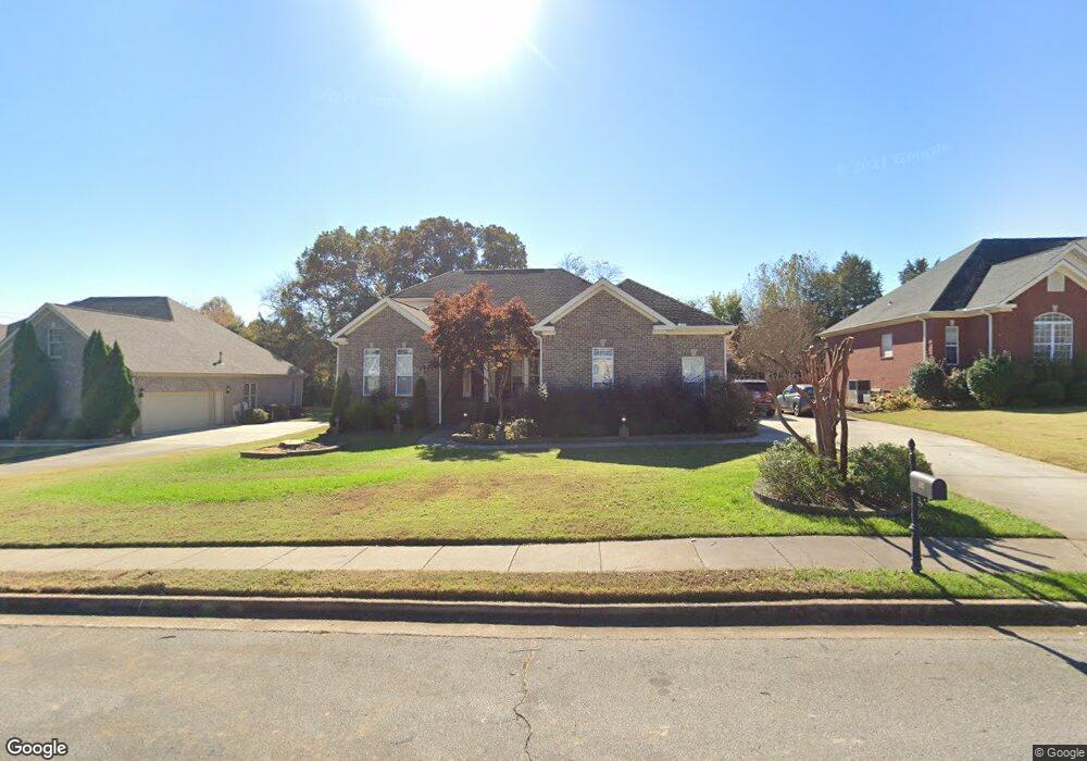
102 Daniel Smith Dr Madison, AL 35757
Monrovia NeighborhoodEstimated Value: $483,226 - $569,000
Studio
1
Bath
2,334
Sq Ft
$220/Sq Ft
Est. Value
About This Home
This home is located at 102 Daniel Smith Dr, Madison, AL 35757 and is currently estimated at $513,307, approximately $219 per square foot. 102 Daniel Smith Dr is a home with nearby schools including Legacy Elementary School, Monrovia Middle School, and Sparkman High School.
Ownership History
Date
Name
Owned For
Owner Type
Purchase Details
Closed on
Dec 2, 2005
Sold by
Alabama Heritage Homes Inc
Bought by
Fulda Bradley J and Fulda Mary
Current Estimated Value
Home Financials for this Owner
Home Financials are based on the most recent Mortgage that was taken out on this home.
Original Mortgage
$236,700
Outstanding Balance
$128,920
Interest Rate
6.04%
Mortgage Type
New Conventional
Estimated Equity
$384,387
Create a Home Valuation Report for This Property
The Home Valuation Report is an in-depth analysis detailing your home's value as well as a comparison with similar homes in the area
Home Values in the Area
Average Home Value in this Area
Purchase History
| Date | Buyer | Sale Price | Title Company |
|---|---|---|---|
| Fulda Bradley J | -- | -- |
Source: Public Records
Mortgage History
| Date | Status | Borrower | Loan Amount |
|---|---|---|---|
| Open | Fulda Bradley J | $236,700 |
Source: Public Records
Tax History
| Year | Tax Paid | Tax Assessment Tax Assessment Total Assessment is a certain percentage of the fair market value that is determined by local assessors to be the total taxable value of land and additions on the property. | Land | Improvement |
|---|---|---|---|---|
| 2025 | $1,571 | $45,020 | $8,000 | $37,020 |
| 2024 | $1,571 | $43,220 | $8,000 | $35,220 |
| 2023 | $1,506 | $43,220 | $8,000 | $35,220 |
| 2022 | $1,256 | $36,000 | $3,340 | $32,660 |
| 2021 | $1,149 | $33,080 | $3,340 | $29,740 |
| 2020 | $1,033 | $29,880 | $3,330 | $26,550 |
| 2019 | $1,033 | $29,880 | $3,330 | $26,550 |
| 2018 | $980 | $28,440 | $0 | $0 |
| 2017 | $980 | $28,440 | $0 | $0 |
| 2016 | $980 | $28,440 | $0 | $0 |
| 2015 | $980 | $28,440 | $0 | $0 |
| 2014 | $1,001 | $29,020 | $0 | $0 |
Source: Public Records
Map
Nearby Homes
- 129 Sagebrook Dr
- 150 Sagebrook Dr
- 365 Weatherford Dr NW
- 509 Summer Cove Cir NW
- 519 Summer Cove Cir NW
- 150 Blue Spruce Dr
- 108 Conifer Ct
- 128 Sarah Jane Dr
- 622 Summer Cove Cir NW
- 127 Misty Pointe Dr
- 223 Wainscott Dr
- 316 Broadway Ln
- 326 Weatherford Dr NW
- 109 Sarah Jane Dr
- 212 Miniver Place NW
- 126 Hawks Nest Dr
- 236 Crab Orchard Dr
- 227 Nettles Dr NW
- 102 Rathdoon Ct
- 187 Alton Lynch Cir
- 104 Daniel Smith Dr
- 100 Daniel Smith Dr
- 106 Daniel Smith Dr
- 105 Sagebrook Dr
- 107 Sagebrook Dr
- 101 Daniel Smith Dr
- 103 Sagebrook Dr
- 109 Sagebrook Dr
- 103 Daniel Smith Dr
- 105 Daniel Smith Dr
- 101 Sagebrook Dr
- 111 Sagebrook Dr
- 113 Sagebrook Dr
- 108 Daniel Smith Dr
- 107 Daniel Smith Dr
- 115 Sagebrook Dr
- 117 Sagebrook Dr
- 521 Mount Zion Rd
- 100 Forestbrook Dr
- 101 Forestbrook Dr