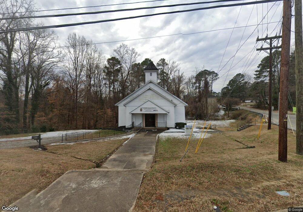
102 E Cornwallis Rd Durham, NC 27707
Hope Valley NeighborhoodEstimated Value: $407,768
Studio
--
Bath
4,836
Sq Ft
$84/Sq Ft
Est. Value
About This Home
This home is located at 102 E Cornwallis Rd, Durham, NC 27707 and is currently estimated at $407,768, approximately $84 per square foot. 102 E Cornwallis Rd is a home located in Durham County with nearby schools including Morehead Montessori, Sherwood Githens Middle, and Jordan High School.
Ownership History
Date
Name
Owned For
Owner Type
Purchase Details
Closed on
Jun 30, 2025
Sold by
Pilgrim Baptist Church
Bought by
Agape & Power Ministries
Current Estimated Value
Home Financials for this Owner
Home Financials are based on the most recent Mortgage that was taken out on this home.
Original Mortgage
$350,000
Outstanding Balance
$349,113
Interest Rate
6.81%
Mortgage Type
Seller Take Back
Estimated Equity
$58,963
Create a Home Valuation Report for This Property
The Home Valuation Report is an in-depth analysis detailing your home's value as well as a comparison with similar homes in the area
Home Values in the Area
Average Home Value in this Area
Purchase History
| Date | Buyer | Sale Price | Title Company |
|---|---|---|---|
| Agape & Power Ministries | $400,000 | None Listed On Document | |
| Agape & Power Ministries | $400,000 | None Listed On Document |
Source: Public Records
Mortgage History
| Date | Status | Borrower | Loan Amount |
|---|---|---|---|
| Open | Agape & Power Ministries | $350,000 | |
| Closed | Agape & Power Ministries | $350,000 |
Source: Public Records
Tax History
| Year | Tax Paid | Tax Assessment Tax Assessment Total Assessment is a certain percentage of the fair market value that is determined by local assessors to be the total taxable value of land and additions on the property. | Land | Improvement |
|---|---|---|---|---|
| 2025 | -- | $534,752 | $247,187 | $287,565 |
| 2024 | -- | $292,701 | $71,212 | $221,489 |
| 2023 | $0 | $296,268 | $71,212 | $225,056 |
| 2022 | $0 | $296,268 | $71,212 | $225,056 |
| 2021 | $3,685 | $296,268 | $71,212 | $225,056 |
| 2020 | $3,685 | $296,268 | $71,212 | $225,056 |
| 2019 | $3,685 | $296,268 | $71,212 | $225,056 |
| 2018 | $4,384 | $323,199 | $20,412 | $302,787 |
| 2017 | $0 | $323,199 | $20,412 | $302,787 |
| 2016 | -- | $323,199 | $20,412 | $302,787 |
| 2015 | -- | $305,426 | $24,680 | $280,746 |
| 2014 | -- | $305,426 | $24,680 | $280,746 |
Source: Public Records
Map
Nearby Homes
- 212 Barnhill St
- 226 Barnhill St
- 2146 Charles St Unit 12
- 2146 Charles St Unit 40
- 2810 Beechwood Dr
- 2831 Beechwood Dr
- 801 Springdale Dr
- 313 W Cornwallis Rd
- 104 Archdale Dr
- 3323 Fayetteville St Unit A
- 3323 Fayetteville St Unit D
- 2235 Alpine Rd
- 604 Homeland Ave
- 3010 Cedarwood Dr
- 12 Dauphine Place
- 4 Chantilly Place
- 2617 Fayetteville St
- 2203 University Dr
- 3014 Hope Valley Rd
- 2106 University Dr
- 106 E Cornwallis Rd
- 2611 S Roxboro St
- 2613 S Roxboro St
- 112 E Cornwallis Rd
- 2538 S Roxboro St
- 2615 S Roxboro St
- 107 W Cornwallis Rd
- 2539 S Roxboro St
- 113 E Cornwallis Rd
- 112 & 114 E Cornwallis Rd
- 119 Parquet St
- 109 W Cornwallis Rd
- 2619 S Roxboro St
- 2614 S Roxboro St
- 116 E Cornwallis Rd
- 123 Parquet St
- 2535 S Roxboro St
- 0 Parquet St
- 124 Parquet St
- 128 Parquet St