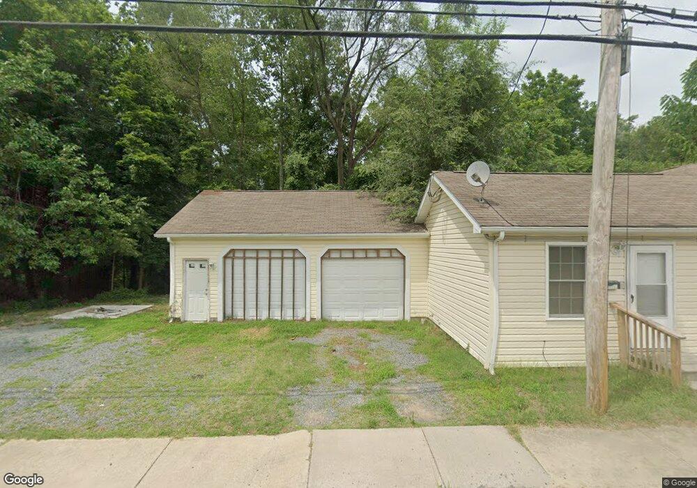
102 E High St Blades, DE 19973
Estimated Value: $171,403 - $178,000
Studio
--
Bath
1,171
Sq Ft
$150/Sq Ft
Est. Value
About This Home
This home is located at 102 E High St, Blades, DE 19973 and is currently estimated at $175,601, approximately $149 per square foot. 102 E High St is a home located in Sussex County with nearby schools including Seaford Central Elementary School, Blades Elementary School, and Seaford Middle School.
Ownership History
Date
Name
Owned For
Owner Type
Purchase Details
Closed on
Jun 13, 2021
Sold by
Pollak Bruce Wayne and Pollak Sherri J
Bought by
Walker Salone Kenya
Current Estimated Value
Home Financials for this Owner
Home Financials are based on the most recent Mortgage that was taken out on this home.
Original Mortgage
$119,823
Interest Rate
3.45%
Mortgage Type
New Conventional
Purchase Details
Closed on
Mar 19, 2018
Sold by
Sherri L Pollack Ret
Bought by
Bruce W & S L Pollack Ret
Purchase Details
Closed on
Oct 15, 2012
Sold by
Pollak Bruce Wayne and Pollak Sherri Lynn
Bought by
Pollak Sherri L and The Revocable Trust Agreement Of Sherri
Create a Home Valuation Report for This Property
The Home Valuation Report is an in-depth analysis detailing your home's value as well as a comparison with similar homes in the area
Home Values in the Area
Average Home Value in this Area
Purchase History
| Date | Buyer | Sale Price | Title Company |
|---|---|---|---|
| Walker Salone Kenya | $131,915 | Smith Firm Llc | |
| Bruce W & S L Pollack Ret | -- | -- | |
| Pollak Sherri L | -- | -- |
Source: Public Records
Mortgage History
| Date | Status | Borrower | Loan Amount |
|---|---|---|---|
| Previous Owner | Walker Salone Kenya | $119,823 | |
| Closed | Pollak Sherri L | $0 |
Source: Public Records
Tax History
| Year | Tax Paid | Tax Assessment Tax Assessment Total Assessment is a certain percentage of the fair market value that is determined by local assessors to be the total taxable value of land and additions on the property. | Land | Improvement |
|---|---|---|---|---|
| 2025 | $618 | $11,250 | $500 | $10,750 |
| 2024 | $563 | $11,250 | $500 | $10,750 |
| 2023 | $562 | $11,250 | $500 | $10,750 |
| 2022 | $548 | $11,250 | $500 | $10,750 |
| 2021 | $550 | $11,250 | $500 | $10,750 |
| 2020 | $597 | $11,250 | $500 | $10,750 |
| 2019 | $522 | $11,250 | $500 | $10,750 |
| 2018 | $509 | $11,250 | $0 | $0 |
| 2017 | $483 | $11,250 | $0 | $0 |
| 2016 | $466 | $11,250 | $0 | $0 |
| 2015 | $465 | $11,250 | $0 | $0 |
| 2014 | $441 | $11,250 | $0 | $0 |
Source: Public Records
Map
Nearby Homes
- 15 E 4th St
- 9 W High St
- Lot 1 E 5th St
- 205 E 5th St
- Lot 22 S Market St
- 0 N Market St Unit DESU2099572
- 300 E 5th St
- 304 E 7th St
- Lot 4 River Rd
- 838 Rum Bridge Branch Unit 838RBB
- 324 E 6th St
- Lot 1 Middleford Rd
- 113 Meadow Dr
- 134 Meadow Dr
- 402 E King St
- 205 N Arch St
- 209 N Conwell St
- 110 E King St Unit SGT
- 323 Pennsylvania Ave
- 131 4th St
- 104 E High St
- 103 E High St
- 17 E High St
- 15&17 E High St
- 15 E High St
- 0 Unknown Unit DESU2066482
- 0 Unknown Unit DESU2016322
- 0 Unknown Unit DESU176258
- 0 Unknown Unit DESU176256
- 0 Unknown Unit DESU152462
- 0 Unknown Unit DESU143896
- 101 E High St
- 100 E 2nd St
- 102 E 2nd St
- 18 E High St
- 14 E 2nd St
- 12 E 2nd St
- 14 E High St
- 11 E High St
- 104 E 2nd St
Your Personal Tour Guide
Ask me questions while you tour the home.